Take-out
WI
Take Out
Save this feature with the run it belongs to.
Gauge Conditions
Runnable: 250.0 – 3,000.0 CFS
Uncertain. Likely low-to-moderate flow. (Please help your fellow boaters with your comments regarding flows.)
Data from American Whitewater & USGS
Photo
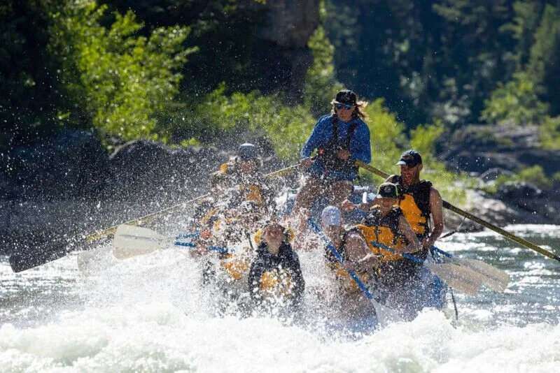
Photo courtesy of American Whitewater
Description
A wayside on Hwy.73 should provide convenient parking for take-out.
Location
Interactive river map
Loads as you approach this section.
Other Rapids on This Run (13)
 Rapid
N/A
Rapid
N/A
Put-in: Drainage area: ~355 sq.mi.
 Rapid
N/A
Rapid
N/A
Put-in and Big Falls run-out
 Rapid
N/A
Rapid
N/A
Confluence with N.Fk.Jump
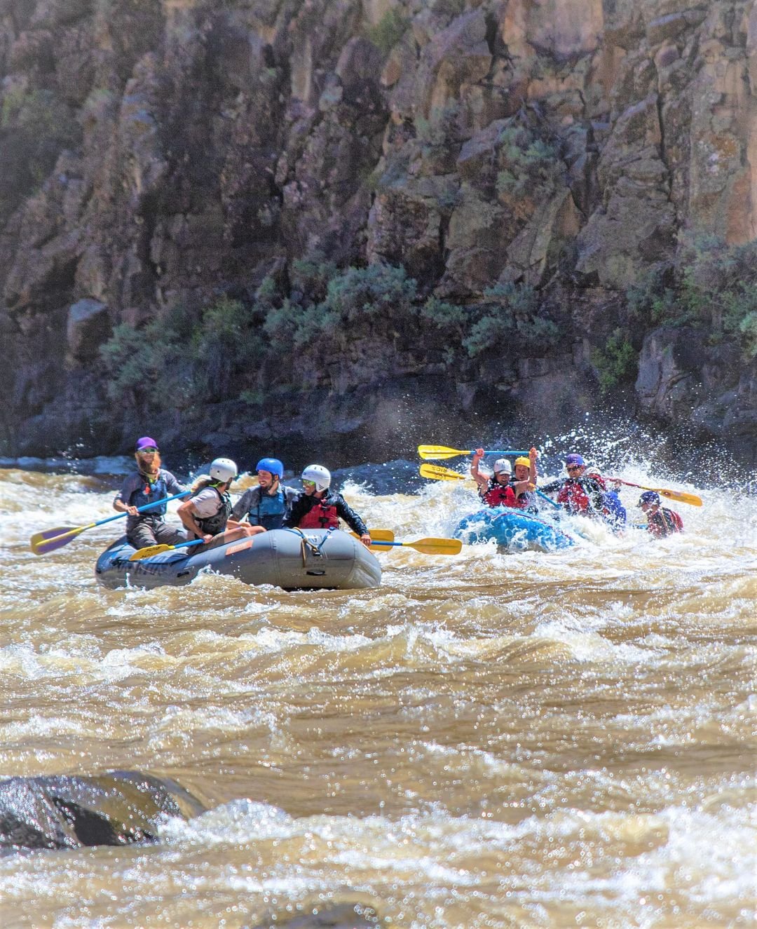 Rapid
I
Rapid
I
marked 'Rapids' #1
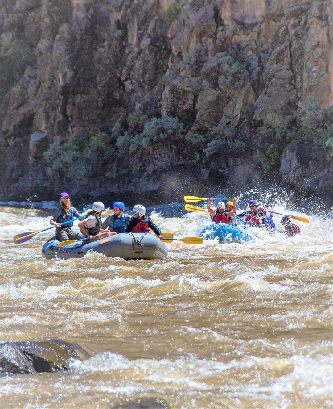 Rapid
N/A
Rapid
N/A
marked 'Rapids' #2
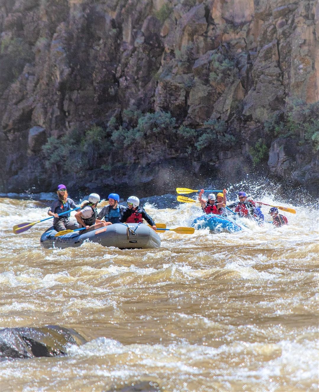 Rapid
N/A
Rapid
N/A
marked 'Rapids' #3
 Rapid
N/A
Rapid
N/A
marked 'Rapids' #4
 Rapid
N/A
Rapid
N/A
marked 'Rapids' #5
 Rapid
N/A
Rapid
N/A
marked 'Rapids' #6
 Rapid
N/A
Rapid
N/A
marked 'Rapids' #7
 Rapid
N/A
Rapid
N/A
marked 'Rapids' #8
 Rapid
N/A
Rapid
N/A
marked 'Rapids' #9
 Rapid
N/A
Rapid
N/A
marked 'Rapids' #10
View Full Run
Big Falls Campground Road to Hwy.73 wayside (11.1 miles)
Jump
I-II
11.1 mi
Current Conditions
5-Day Forecast
Whitewater data from
American Whitewater
American Whitewater