Rapid
WI
marked 'Rapids' #6
Save this feature with the run it belongs to.
Gauge Conditions
Runnable: 250.0 – 3,000.0 CFS
Uncertain. Likely low-to-moderate flow. (Please help your fellow boaters with your comments regarding flows.)
Data from American Whitewater & USGS
Photo
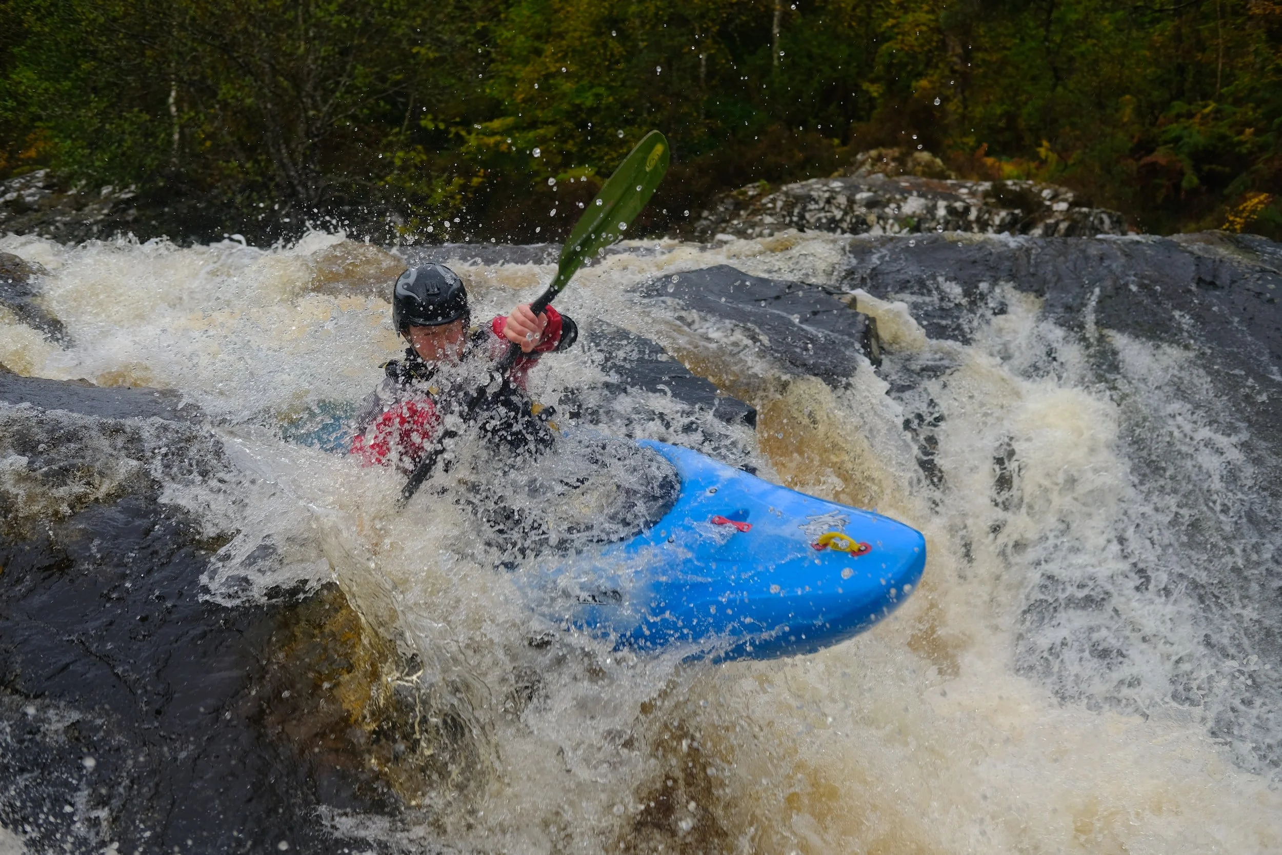
Photo courtesy of American Whitewater
Description
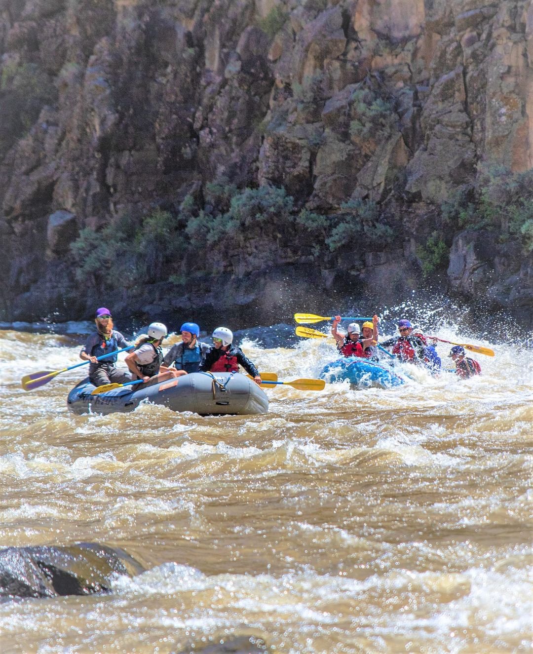
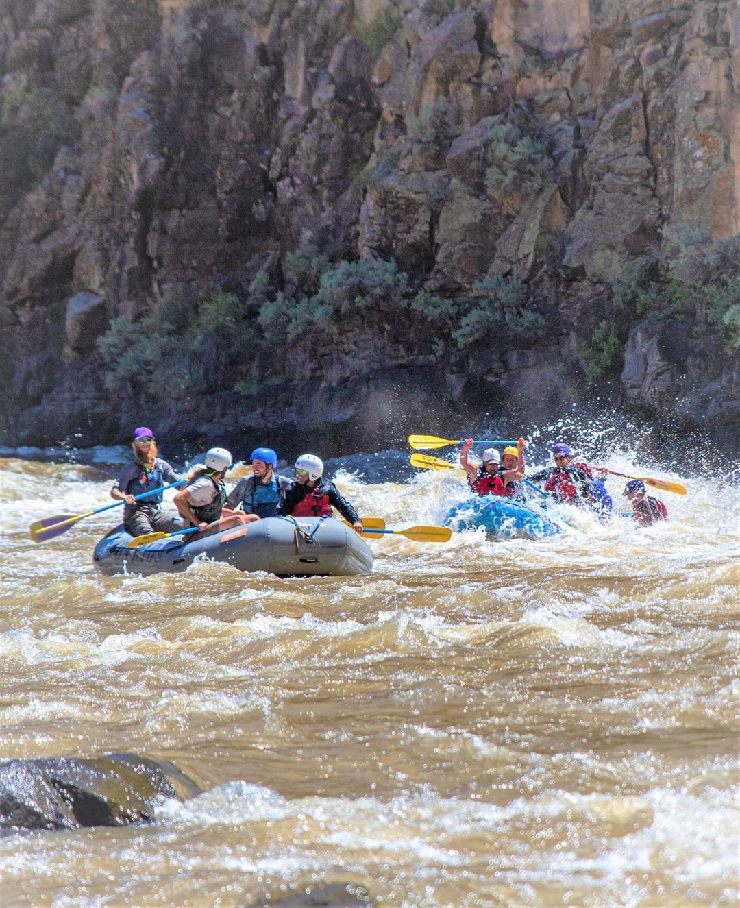
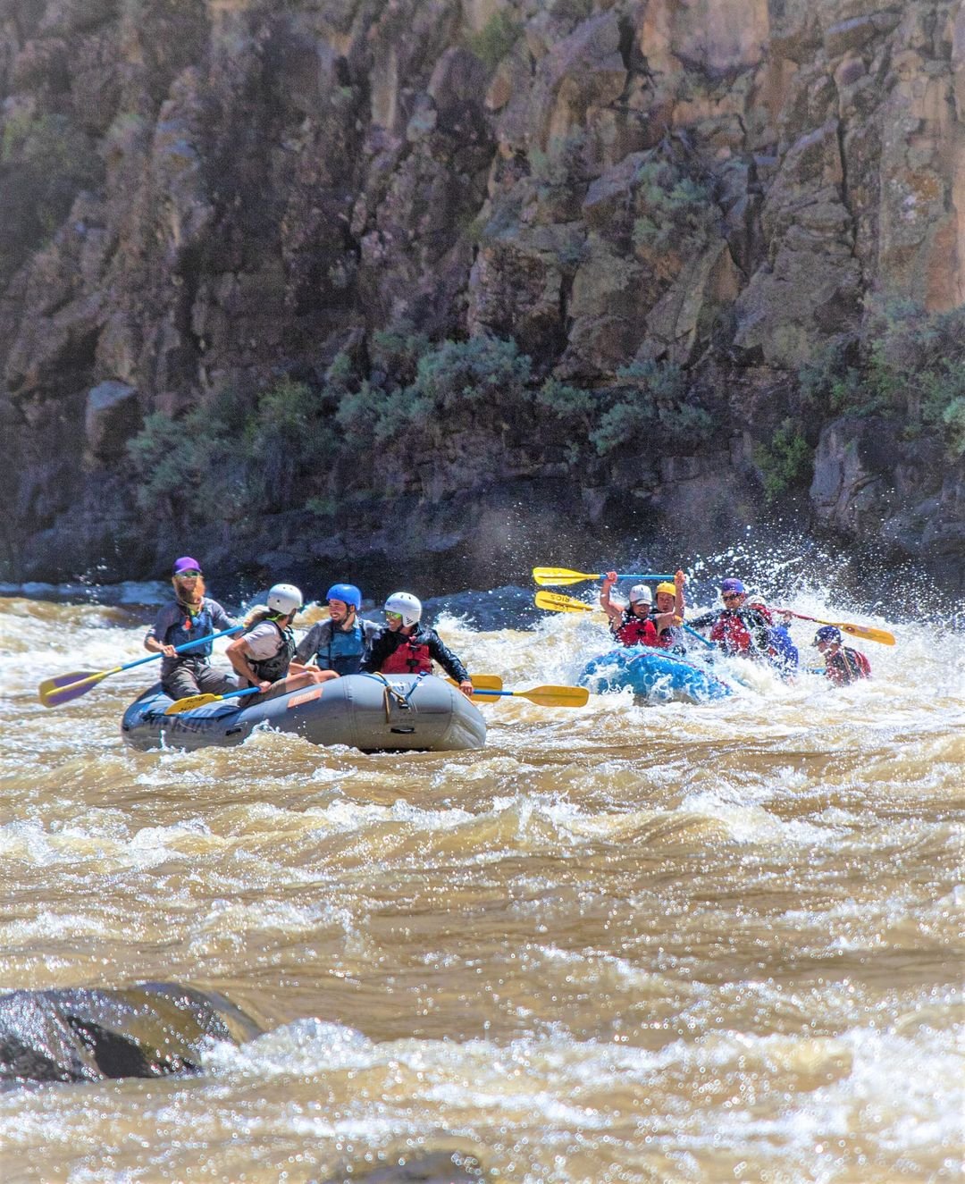
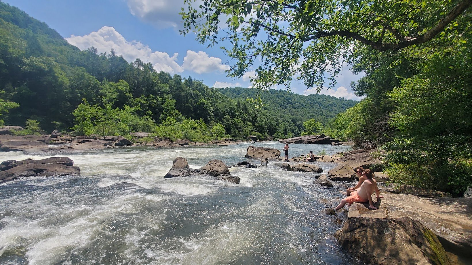
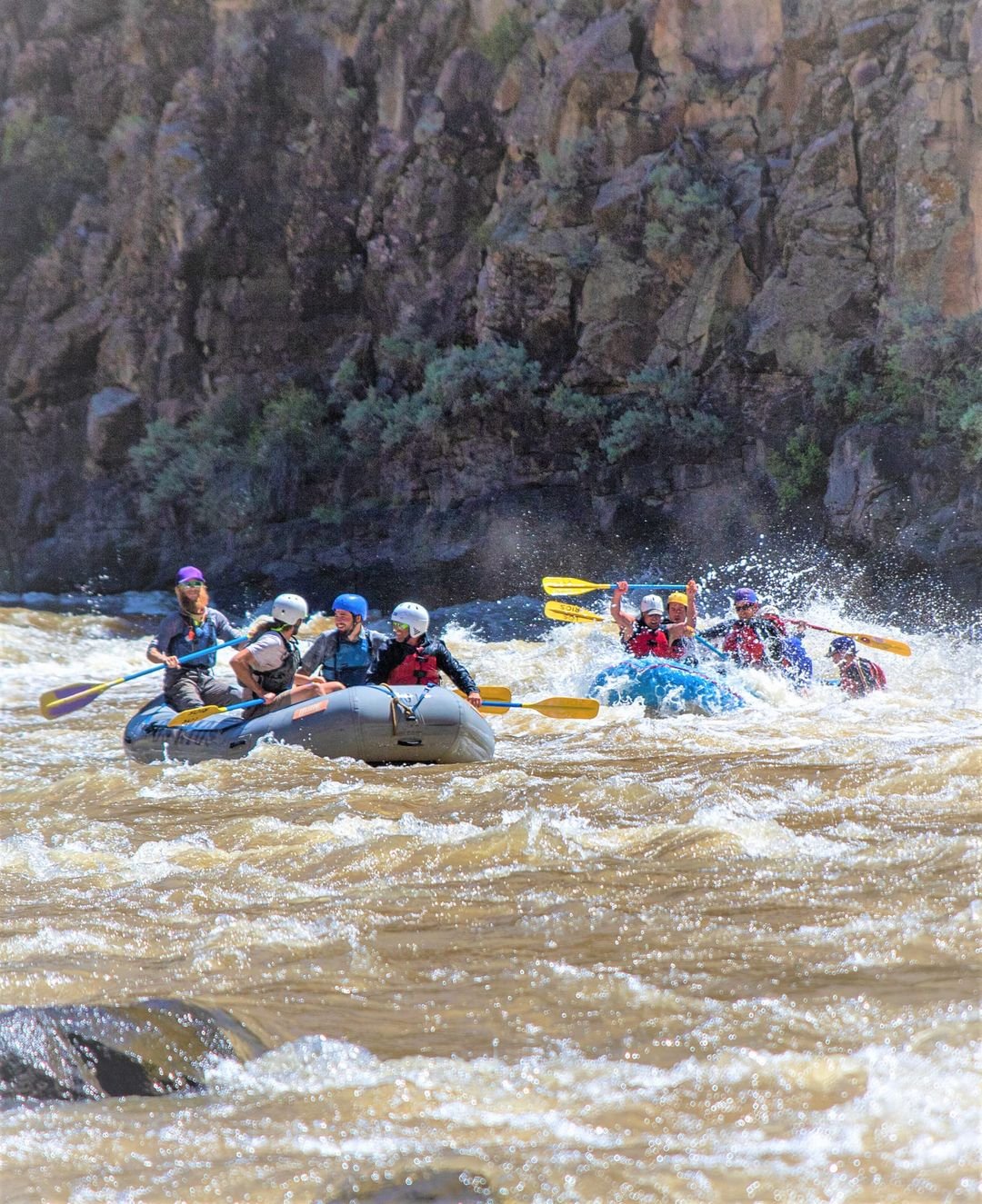
This unmarked rapid on the Jump River presents a technical descent with multiple mid-stream boulder obstacles requiring precise boat positioning and careful route selection. Paddlers should be prepared to navigate a series of tight channels between rocks, with potential for unexpected hydraulics and the need for quick maneuvering to avoid potential pinning hazards.
Location
Interactive river map
Loads as you approach this section.
Other Rapids on This Run (13)
 Rapid
N/A
Rapid
N/A
Put-in: Drainage area: ~355 sq.mi.
 Rapid
N/A
Rapid
N/A
Put-in and Big Falls run-out
 Rapid
N/A
Rapid
N/A
Confluence with N.Fk.Jump
 Rapid
I
Rapid
I
marked 'Rapids' #1
 Rapid
N/A
Rapid
N/A
marked 'Rapids' #2
 Rapid
N/A
Rapid
N/A
marked 'Rapids' #3
 Rapid
N/A
Rapid
N/A
marked 'Rapids' #4
 Rapid
N/A
Rapid
N/A
marked 'Rapids' #5
 Rapid
N/A
Rapid
N/A
marked 'Rapids' #7
 Rapid
N/A
Rapid
N/A
marked 'Rapids' #8
 Rapid
N/A
Rapid
N/A
marked 'Rapids' #9
 Rapid
N/A
Rapid
N/A
marked 'Rapids' #10
 Rapid
N/A
Rapid
N/A
Take Out
View Full Run
Big Falls Campground Road to Hwy.73 wayside (11.1 miles)
Jump
I-II
11.1 mi
Current Conditions
5-Day Forecast
Whitewater data from
American Whitewater
American Whitewater