C) Kaukauna/1000 Islands: Hwy.55/Main Ave. to CTH.ZZ (1.5 miles)
Gauge Conditions
Runnable: ? – ? CFS
Approximate reading: This gauge is 4.4 miles away on Fox. Use as a general reference only.
Data from American Whitewater & USGS
Run Map
Run Time Estimate
Select put-in and take-out to estimate time.
Plan This Trip
See wind-adjusted speed maps, forecast planning, and detailed time estimates.
Sign in to generate an AI timing estimate for this run.
Whitewater timing varies with scouting, portages, and group pace. Use as a planning baseline.
Description
Do not rely on our 'virtual gauge' reading (and consequent color-coding) to accurately reflect conditions for this run.
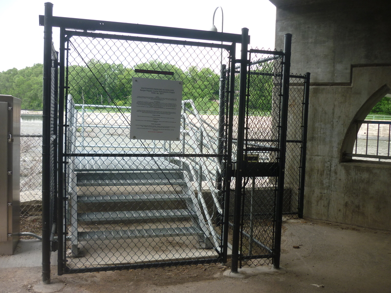
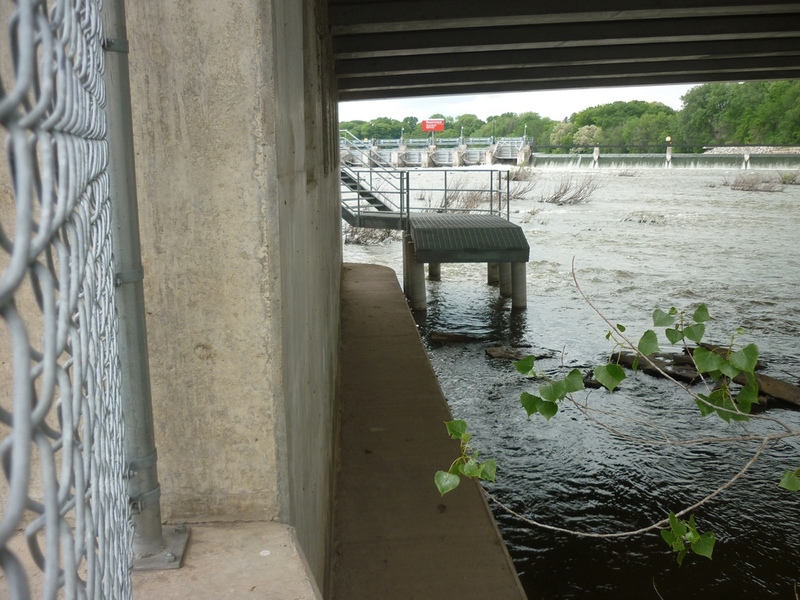
Actual flow through the dam into the 'bypass reach', is available at (clickable link):
All flow values (cfs) in this description refer to KU values for Tainter gate opening as reported in the chart on that website.
Quick Facts:
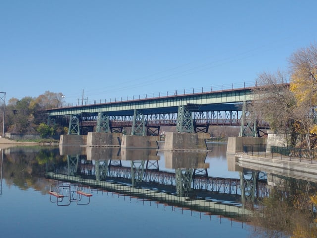
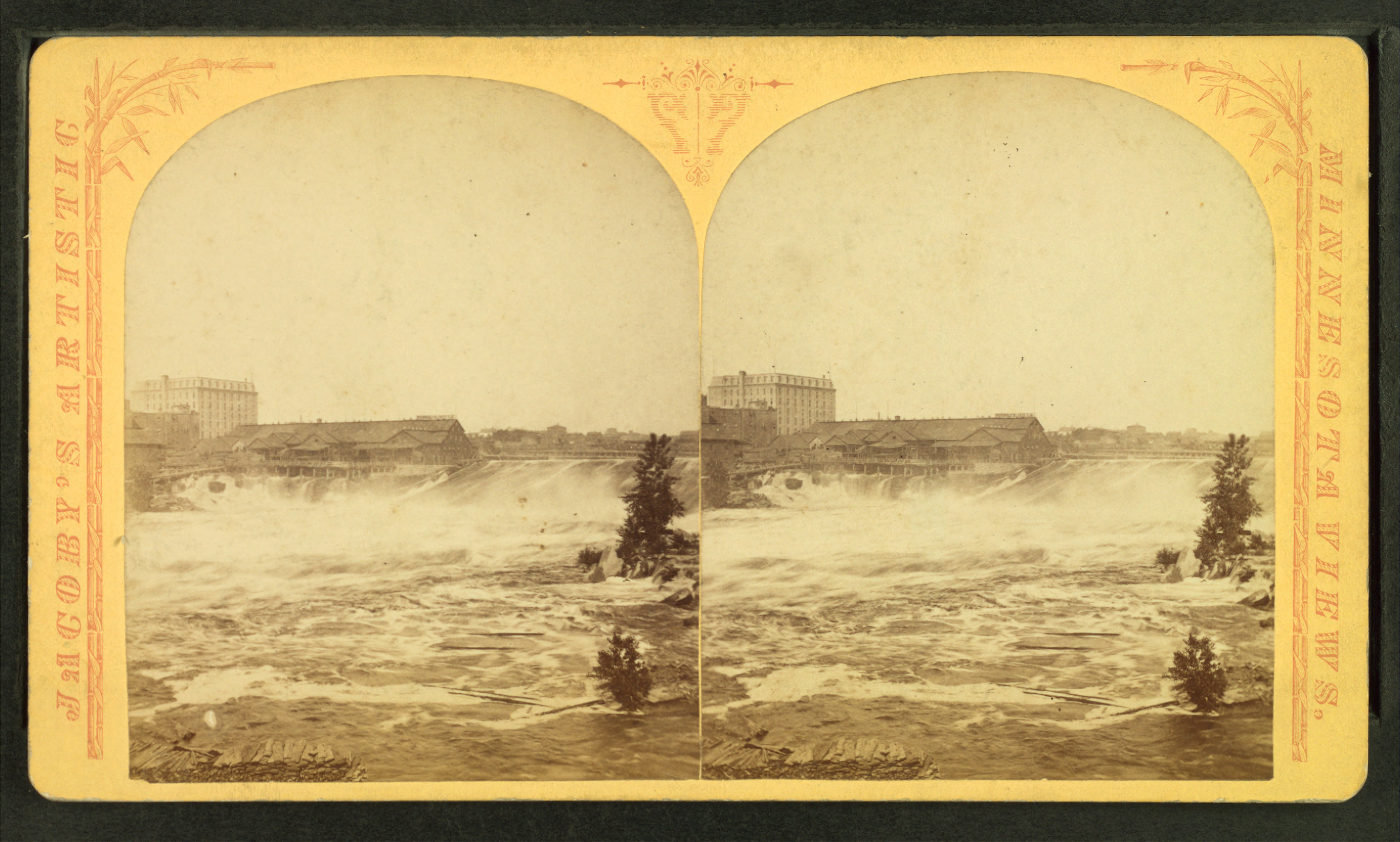
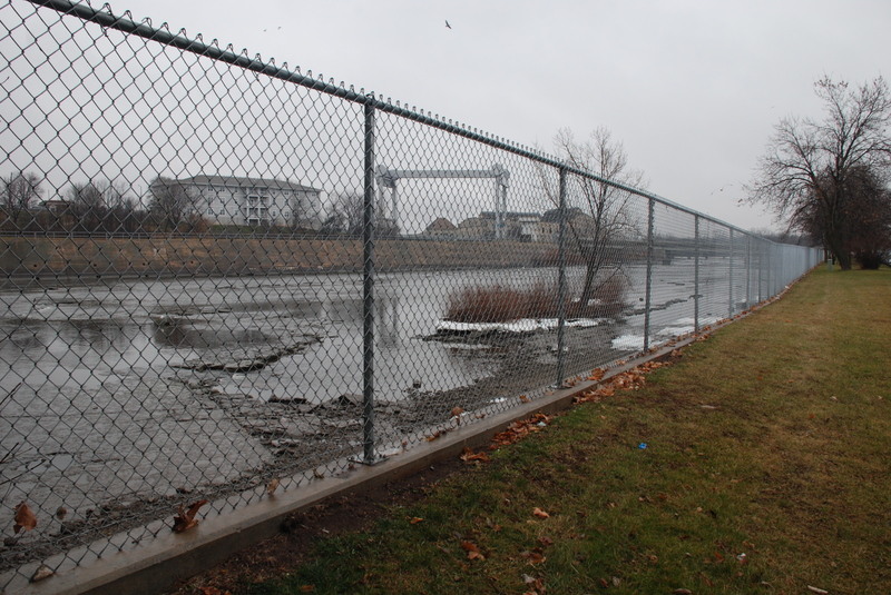
Location: Downtown Kaukauna.
Shuttle Length: up to 1.4 miles.
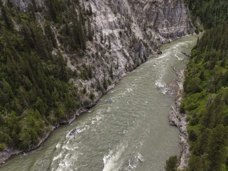
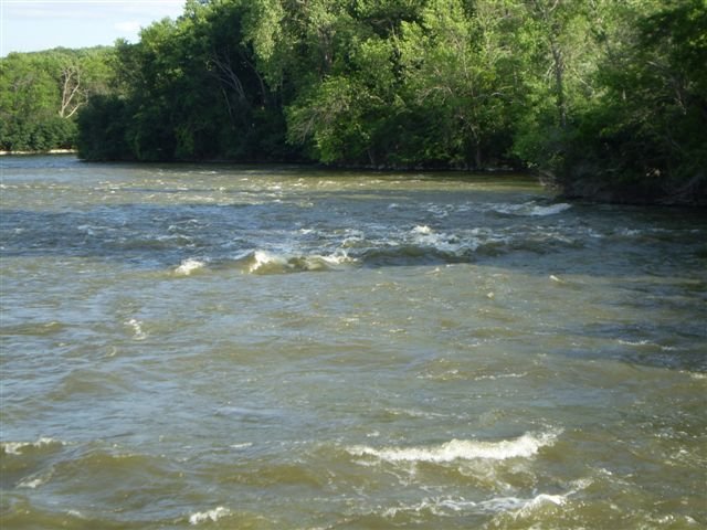
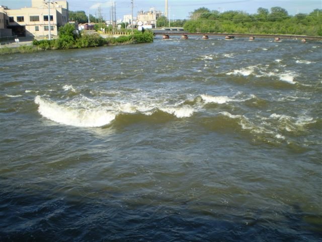
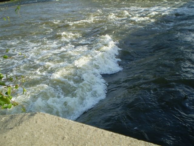
Character: Bedrock riverbed creates sweet waves for surfs and spins. The first two parts of this run are heavily 'citified' (cement and stonework banks, highway and railway crossings, buildings and industry surrounding), while the lower third part is braided channels between wooded islands within a nature preserve, having an amazingly 'wilderness' feel to it. (Watch for nesting Bald Eagles!)
**Scheduled Releases *may be requested* up to four days each year: the 3rd and 4th Saturdays of June, the final Saturday of September, and the 1st Saturday of October. DO NOT JUST SHOW UP ON THESE DATES AND EXPECT THERE TO BE WATER! Releases 'require notification to KU via email or telephone call no more than 30 days prior and no later than 10:00 a.m. CDT the Friday before a scheduled event. If a notification is not received within the required notification window, the scheduled releases into the main river channel for whitewater boating will not be released.' Target releases are 3,050 cfs (10' of Tainter gate opening), but subject to change (up or down) based upon flow available. Always check KU website for up-to-date information.
Put-in is approximately 643' elevation.
Take-out is approximately 602' elevation.
Thus total elevation change is approximately 41'.
General Overview
Sloping bedrock of the Fox River in Kaukauna provides Fox Valley paddlers in-town exercise. This stretch has garnered quite a following, with its east-central Wisconsin location drawing boaters from many parts of the state (and beyond!) to catch this when it has good flows.
A few features may be regainable (depending on water level, hull speed, and boater skill). However, many features are catch-on-the-fly, one-shot play which will frustrate many boaters. At most flows, features will be too shallow for vertical/aerial moves, and likely not 'retentive' enough (at usual flows) to consistently link multiple elevated moves, which means this isn't the best opportunity for the full-on freestyle crowd.
That said, various waves and holes should allow a great mix of fast dynamic surfs, flat-spins, low-angle moves, and good old-school 'blasting' for any paddler with solid whitewater paddling skills, making it a great intermediate whitewater play/run. Added to that, the huge drainage area means it occasionally 'goes big' (over 10,000 cfs), which is a rare treat for upper-Midwest boaters to experience and are actually the 'preferred flows' for a good number of boaters well-experienced with this run.
Caution: A potentially dangerous dam interrupts this stretch of river. The dam ( between Part II and Part III, as defined below) angles across the river (from river-right to river-left). The far river-right channel (above the dam) is the outflow from a powerhouse which almost always carries significant flow, causing strong crosscurrents as the dam diverts most or all that flow to a paper-plant far river-left! Excellent water reading skills and full knowledge and confidence in setting a ferry-angle to paddle across strong flows will be necessary to successfully negotiate this section of the river.
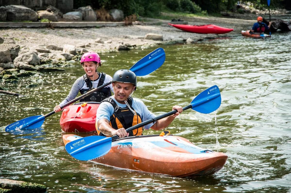
If you have an open-cockpit 'recreational kayak', if you don't know how to roll your boat, if you can't catch an eddy or do an upstream ferry (and definitely if you don't know what any of that means!), then you probably should not be considering this run! It is highly recommended that this section should not be boated alone (I.E., with just one watercraft, regardless the number of passengers), nor by boaters inexperienced in whitewater skills and without the company of experienced boaters for safety.
We highly recommend novice boaters attend any of the four scheduled recreational releases each year, when they should hook up with experienced boaters to teach them how to safely access the opportunities on this run.
All that having been said, moderately-experienced, reasonably skilled whitewater boaters should not be at all intimidated by this reach at a wide variety of flows. Flows of 1500-4000 cfs (and likely up to 5000-6000 cfs or higher) should easily be able to be paddled without incident**.
While the rapids descriptions below may be a bit confusing and likely to make this sound lengthy, this is just a 1.5 mile reach (and half of that is the 'paddle out'). However, at good flows, if you explore all the channels and options, you will have paddled much further than that, and should have an excellent workout.
It should also be noted that even when there is not sufficient flow for the upper part of this reach, it *may* still be possible to save your day. If you drive here and find the initial channel looking too low or lame/tame, don't leave before checking The Trolls, as well as the Thousand Islands area (which may receive some of the outflow from the hydro channel which may spill over the lower dam). Access to check and possibly boat the lower channels is typically by parking at Thousand Islands Environmental Center, then paddling/ferrying over to an island, to carry across and up into the 'Hidden Channel' to surf *Mystery Wave*, or ( *by folks who know where it is safe to do so*) carrying up to put-in above the 'ogee wall' (lower dam), paddling across to the necessary location, and dropping over the dam into the 'Infant Falls' channel or the 'Mystery Wave' channel. Levels of 4,000 to 7,000 cfs can make this wave quite fun, with fast carving and spins/roundhouses possible.
Be aware that mid-to-late summer water quality *may* be affected by algae blooms in Lake Winnebego. (Passing through the area July 24, 2013, the water quite literally looked like pea soup. This may not be an every-year situation.)
HUC has been 'fudged' (to 04040003 rather than 04030204) to allow this reach to sort into the 'Southwestern Lake Michigan' drainage rather than the already overlarge 'Northwestern Lake Michigan' drainage. If this causes anyone trouble or concern, post a note using the 'Comments' button which should appear below for all registered, logged-in users.
The following YouTube video overview showing much of the run (clickable link>>>>): ******
The following list identifies the time-stamp for various routes and river-features shown in this video:
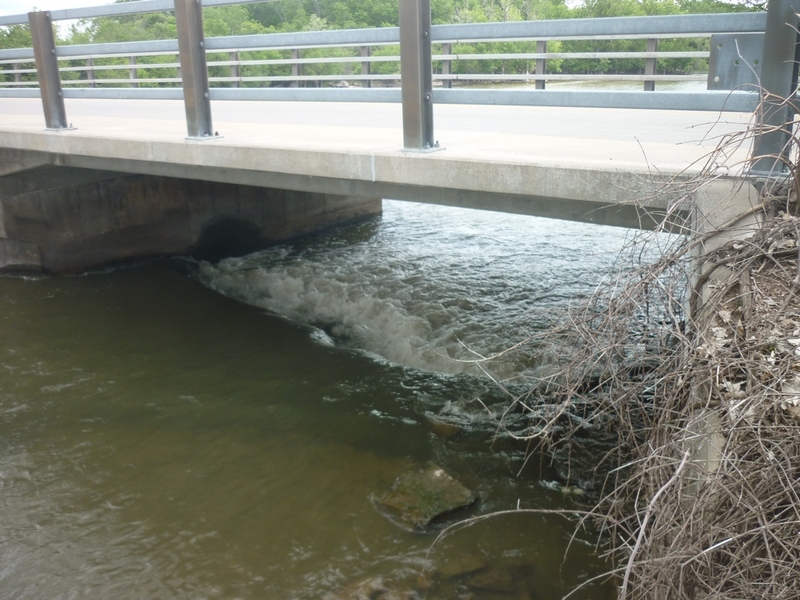
0:00 Island Street Bridge/Wave
0:25 Passing under Railroad, surfing unnamed wave in right channel above Elm Street
0:36 Left Channel, passing under Elm Street
0:54 Left Channel 'Pancake Wave'
1:26 Right Channel, passing under Elm Street, 'The Trolls'
1:39 Right Channel, heading down the right side (skirting to the right of UGH, the Uniform Gnarly Hydraulic)
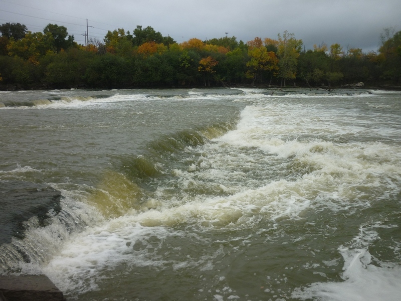
1:51 Below the Ogee: Right-most Channel, surfing 'Spin Cycle'
3:37 running the crossover channel below 'Spin Cycle'
4:32 running 'Infant Falls'
Rapids in this Run (6)
Waterfalls (2)
Playspots (9)
 Playspot
Ten Boat Wave
 Playspot
Island Street Wave
 Playspot
(Left Channel) Goose Ledges
 Playspot
(Left Channel) Elm Street Waves
 Playspot
(Right Channel) The Trolls
 Playspot
(Right Channel) Uniform Gnarly Hydraulic (UGH!)
 Playspot
(1st Channel) Spin Cycle
 Playspot
(3rd Channel) Mystery Wave
 Playspot
(4th Channel) Mill Wave
Hazards & Portages (4)
Caution: The following locations may require scouting or portaging. Always check current conditions.
Difficulty
Class II-III(IV)
Length
2.5 mi
Gradient
27 ft/mi
max 38
Rapids
6
4 Hazards
Access Points
Shuttle Info
Shuttle for the 'full run' is shown below.
Boaters doing various partial sections (such as the lower-water runs of just the '1000 Islands'/Mystery Channel) may just shuttle via walking up a boardwalk (through the woods on river-right, between the river and the road), or (for upper and middle sections of the run) along road shoulders, sidewalks, and river-access areas along the river in town.
Difficulty Classes
I Easy
II Novice
III Intermediate
IV Advanced
V Expert/Extreme
VI Unrunnable
Current Conditions
5-Day Forecast
Whitewater data from
American Whitewater
American Whitewater