The Transition =================== PART II-B ==
Save this feature with the run it belongs to.
Gauge Conditions
Approximate - nearest available gauge. Use as general reference only.
Photo
Description
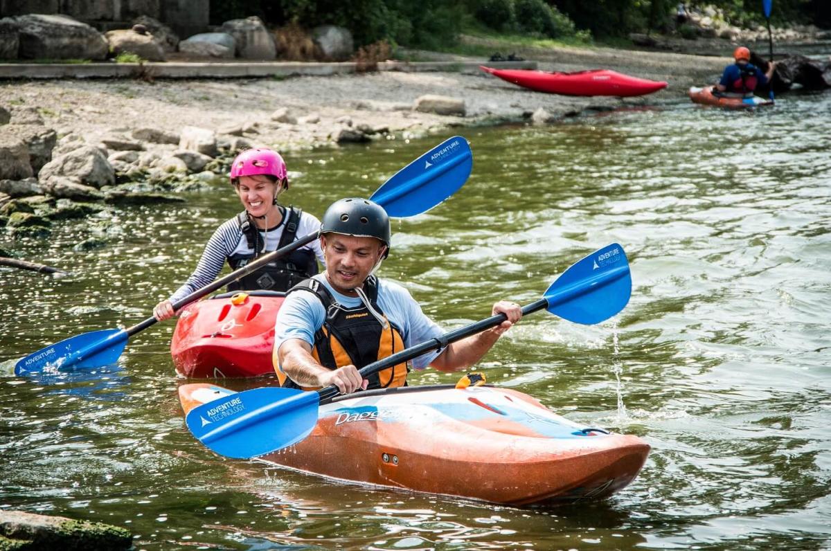
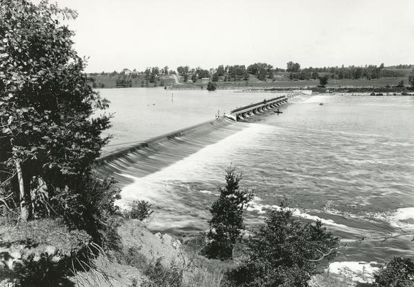
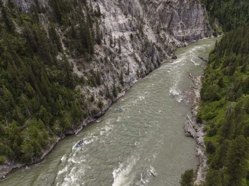
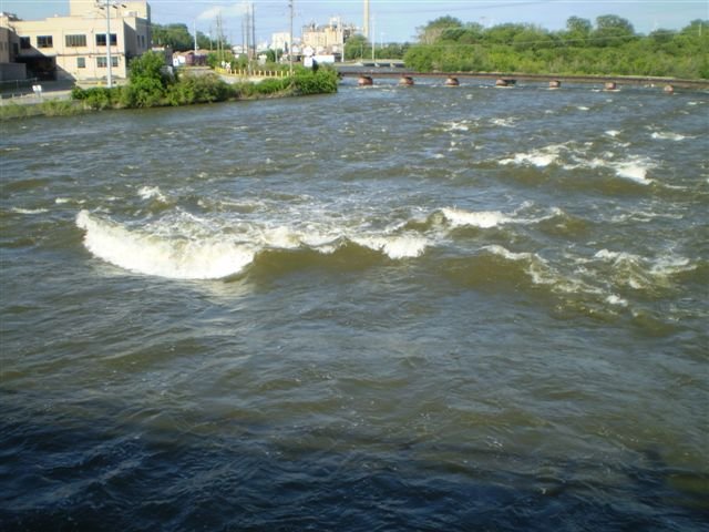
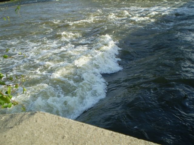
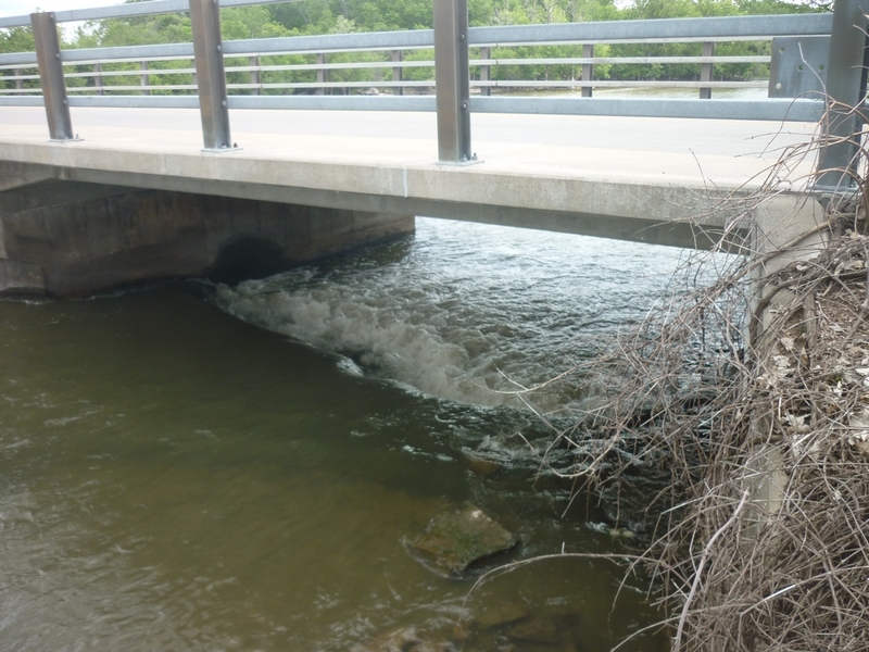
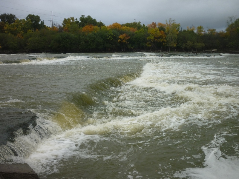
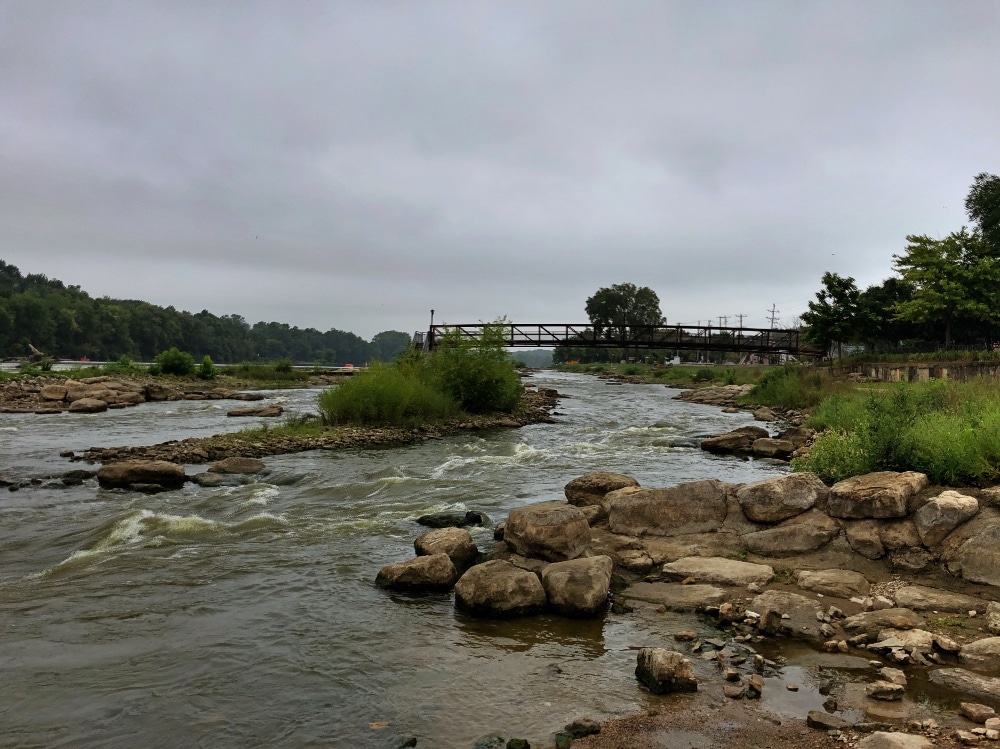
Looking downstream from below Elm Street, you will see the far-left portion of the lower dam on this reach. Even though the river has been split by an island, this channel is quite wide. Anyone missing a roll or swimming in this midsection ('PART II', either channel) will be swept toward the dam, which (below this left channel) varies from about four to seven feet in height and lands hard on bedrock (no cushion, and little-to-no boil). Rescue of a swimmer is most likely to be by grabbing onto another boater's kayak and aggressively swimming and paddling to the island (channel-right shore) or to river-left shore.
While there is plenty of distance to the dam, do not be too cavalier about any flips or swims here! Be aggressive (as a swimmer and as a rescuer) to get boater and gear into an eddy and secure on shore as quickly as possible! If you are swept past the end of the island (as a swimmer, or as a boater-with-swimmer-in-tow), there is much stronger current, and risk of being swept over the dam. In such a case, it is likely best to emphatically tell the swimmer to let go (if/when passing over the dam is imminent)! Both have a better chance of less injury if they can get some distance between them. A swimmer who has gotten too close to the dam may have little choice or effect on where they flush over, but a reasonably skilled boater (without swimmer clinging on) should attempt a more controlled launch and landing off the dam into the shallow bedrock below. (Best option is to make your way as far right as possible in this area before dropping over, to minimize the drop/height. Failing that ... whether you launch a solid boof or grunge over and pencil and piton, get ready for a hard hit. And, then, do your best to look for and continue to support the battered and bruised swimmer.)
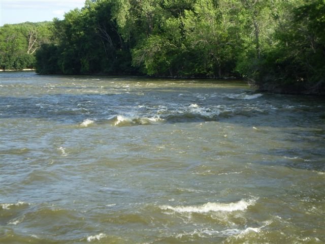
Those who have finished playing the features in this channel (without swimmers) should then head toward the island (far to channel-right). Immediately at the end of the island, hang a right and paddle 'upstream' (it's really across the width of the river, but it's against the flow which is being diverted parallel to the dam below). Stay as close to the island as possible (paddling around and under branches and brush from shore) to stay out of the strongest flow. As you get to the other side of the island, you will be in the outflow of the right-channel, and will need to turn your bow more 'upstream' to those currents to ferry across to beach at a public access area. From there, you can carry up to run (most of) the right channel (described below in 'option B'), or proceed to one of the options to pass over the lower dam.
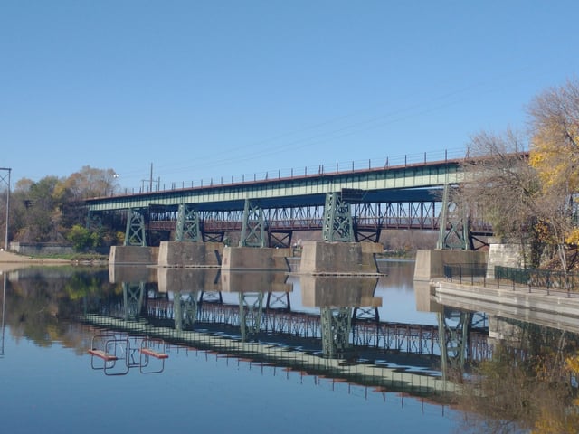
To run the right channel, you'll carry up to Elm Street. You then have three options.
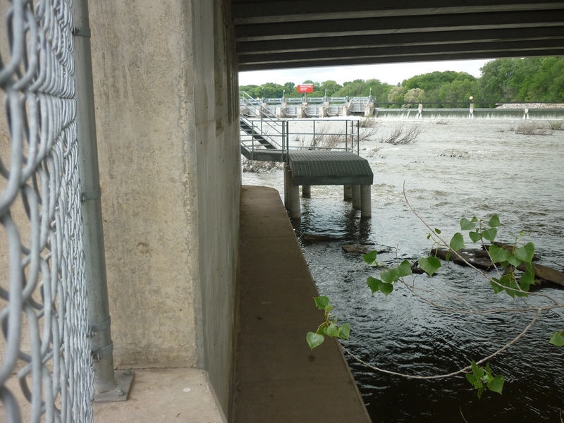
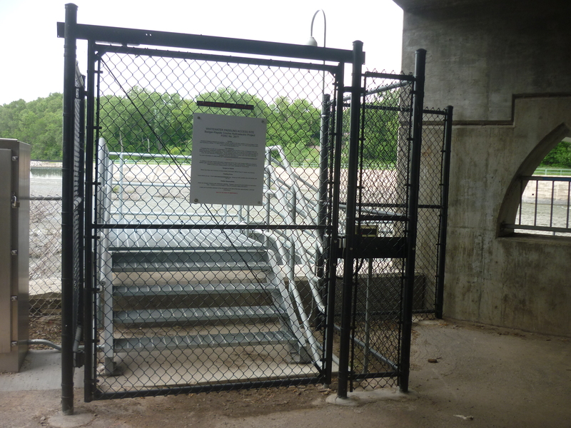
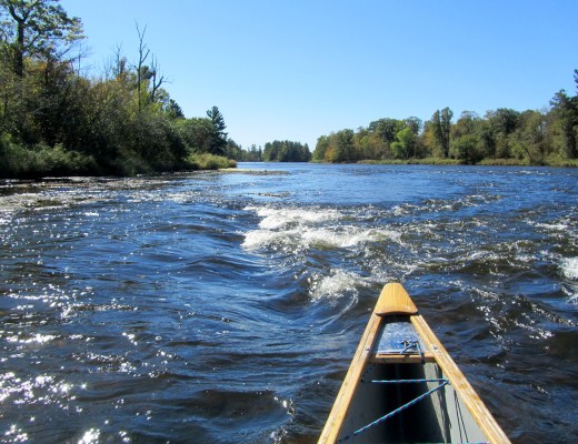
Option 1) At low-to-moderate flows, it may be easiest not to cross the railing up at Elm Street, but rather find a place to go down to the water. Make your way along shore to a cement 'hip' under the bridge. From there, you can carefully walk a bit further upriver in the water (feeling carefully with your feet for rocks, lest you stub your toes or trip). There should be enough eddy (and possibly some rocks in the water to 'anchor' your boat upon) to mount up, peel out, and run whichever route you have chosen under the bridge ("The Trolls", as described below).
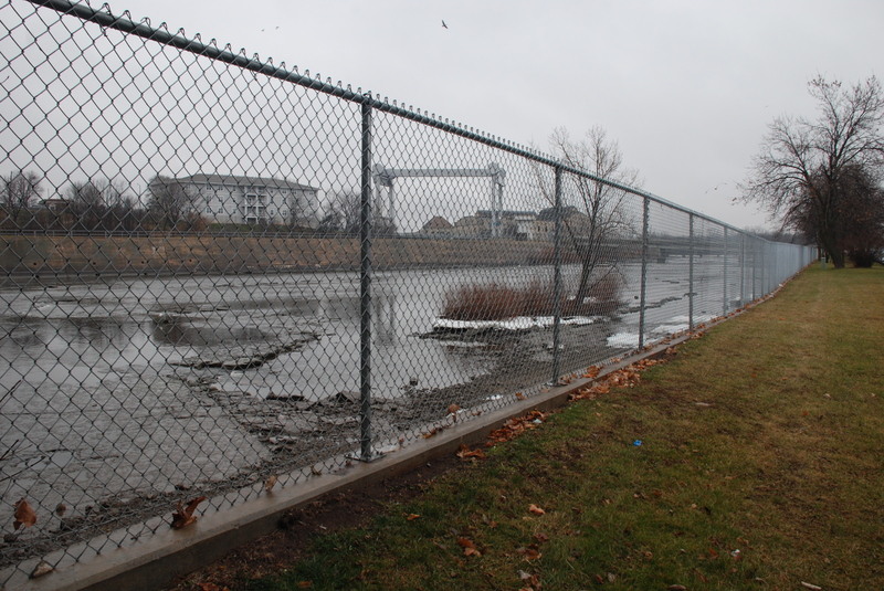
Option 2) Cross over the Elm Street railing, cross the street and (VERY CAREFULLY) cross over the precarious railing on that side. Carry upstream on the grassy shore, looking for a spot with enough eddy that looks decent to get down to, get into your boat, and head to the Trolls. (NOTE: I would strongly recommend against getting in your boat up on the lawn to 'seal launch' unless you are exceptionally good at 'butt-hopping' your boat off shore to land a 'boof'. This area is shallow at virtually all boatable flows, so anything which is not a boof will be a piton!)
Option 3) Cross over the first railing carry north on Elm Street to the island, then carry upstream (west) on the island. Unfortunately, there is a 'sea-wall' surrounding the island, protecting it from the flows, and fairly shallow and rocky waters surrounding. You will most likely have to place your boat atop the wall (likely parallel with it, rather than perpendicular as would be more normal), enter your boat, and then 'butt-hop' your boat off the wall, landing a sideways 'boof' (likely on a brace-stroke to stay upright). From here, you'll have a few minor set-up waves in the brief channel before getting to the Trolls.
Location
Other Rapids on This Run (20)
 Rapid
N/A
Rapid
N/A
 Rapid
N/A
Rapid
N/A
 Rapid
N/A
Rapid
N/A
 Rapid
N/A
Rapid
N/A
 Playspot
II
Playspot
II
 Playspot
II+
Playspot
II+
 Rapid
N/A
Rapid
N/A
 Rapid
N/A
Rapid
N/A
 Playspot
II
Playspot
II
 Playspot
II
Playspot
II
 Rapid
N/A
Rapid
N/A
 Playspot
III
Playspot
III
 Hazard
III+
Hazard
III+
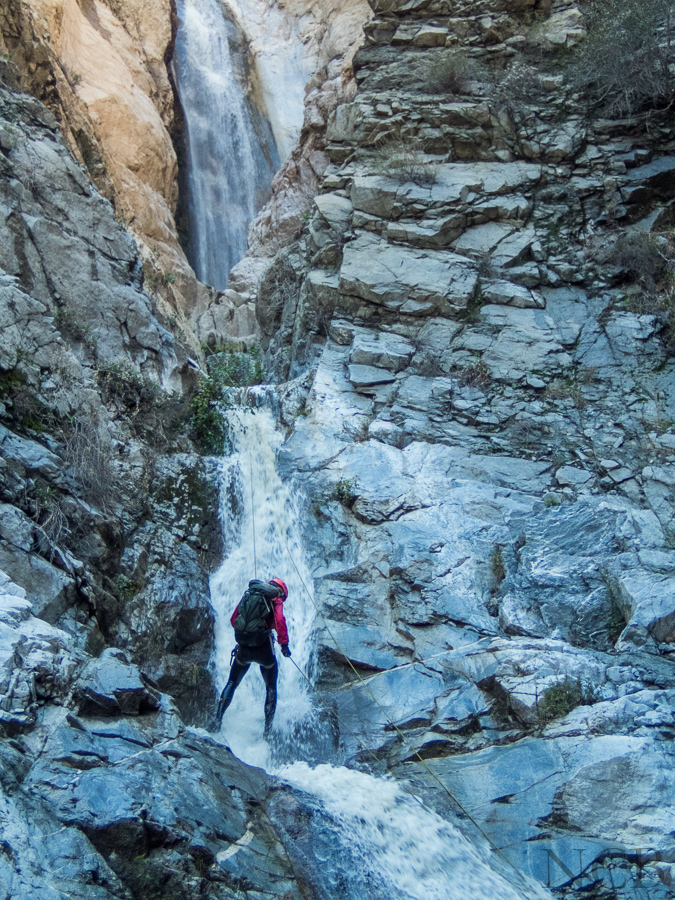
 Waterfall
III+
Waterfall
III+
 Playspot
II+
Playspot
II+
 Waterfall
III+
Waterfall
III+
 Playspot
III
Playspot
III
 Playspot
II+
Playspot
II+
 Rapid
N/A
Rapid
N/A
 Rapid
N/A
Rapid
N/A
Current Conditions
5-Day Forecast
American Whitewater