River Road (near oxbow) to Big Falls State Park Recreational
Gauge Conditions
Runnable: 400.0 – 1,200.0 CFS
Data from American Whitewater & USGS
Run Map
Put-in
Take-out
Rapids/Hazards
Recreational
Run Time Estimate
Select put-in and take-out to estimate time.
Plan This Trip
See wind-adjusted speed maps, forecast planning, and detailed time estimates.
Sign in to generate an AI timing estimate for this run.
Whitewater timing varies with scouting, portages, and group pace. Use as a planning baseline.
Description
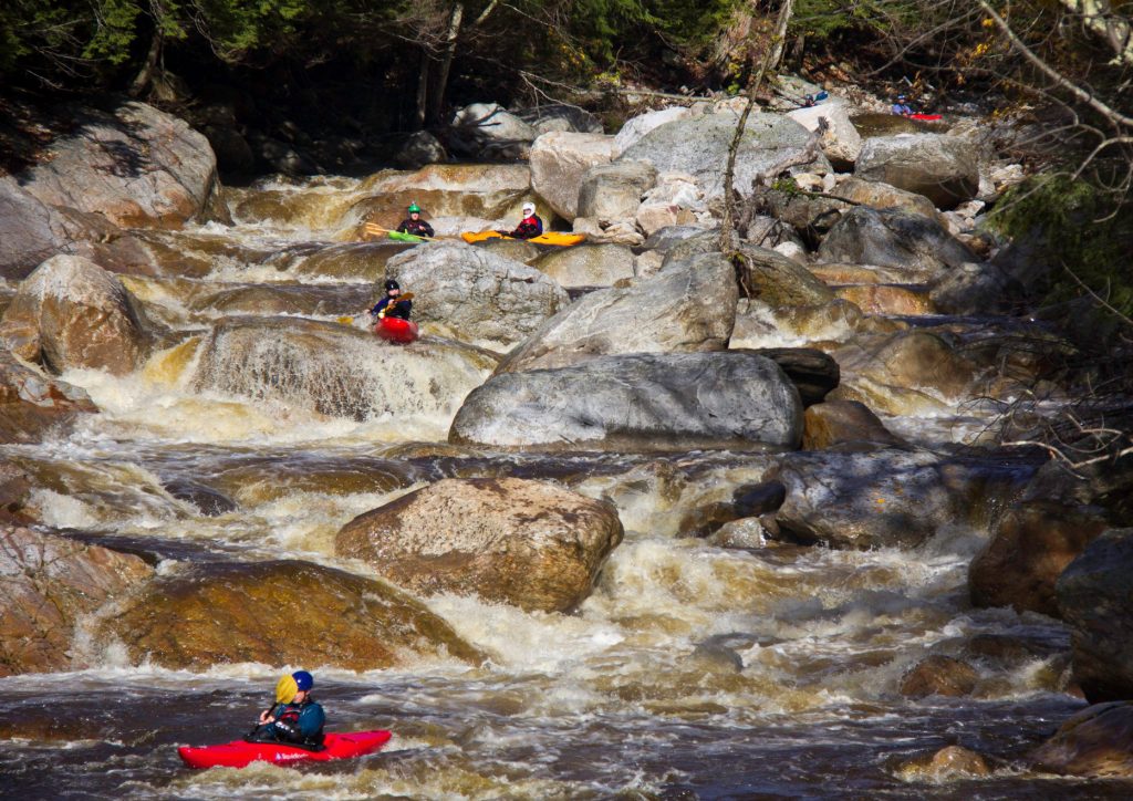
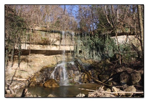
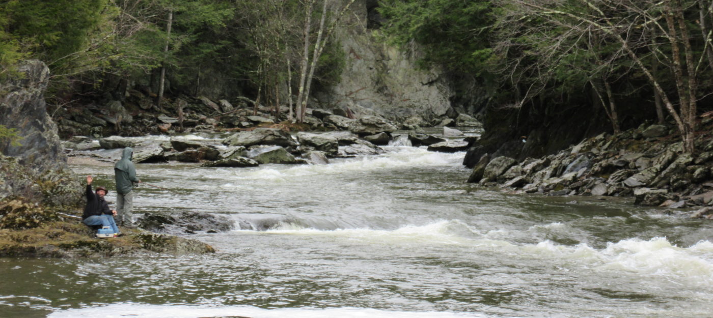
This run is high up in the Missisquoi's watershed, where the river is essentially a large creek. It is characterized by a series of fairly large and well separated drops and one longer rapid, and ends above Big Falls, a 60 foot unrunnable cascade. It is commonly referred to as the 'Missisquoi in North Troy' or 'MINT' for short.
Comes up regularly after summer rain
You could combo this section with the Jay branch section below au revoir flat road (IV+)
Rapids in this Run (6)
Waterfalls (2)
Hazards & Portages (1)
Caution: The following locations may require scouting or portaging. Always check current conditions.
Difficulty
Class II-IV
Length
4.2 mi
Rapids
6
1 Hazard
Access Points
Difficulty Classes
I Easy
II Novice
III Intermediate
IV Advanced
V Expert/Extreme
VI Unrunnable
Current Conditions
5-Day Forecast
Whitewater data from
American Whitewater
American Whitewater