CanAm
Save this feature with the run it belongs to.
Gauge Conditions
Description
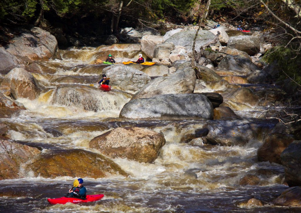
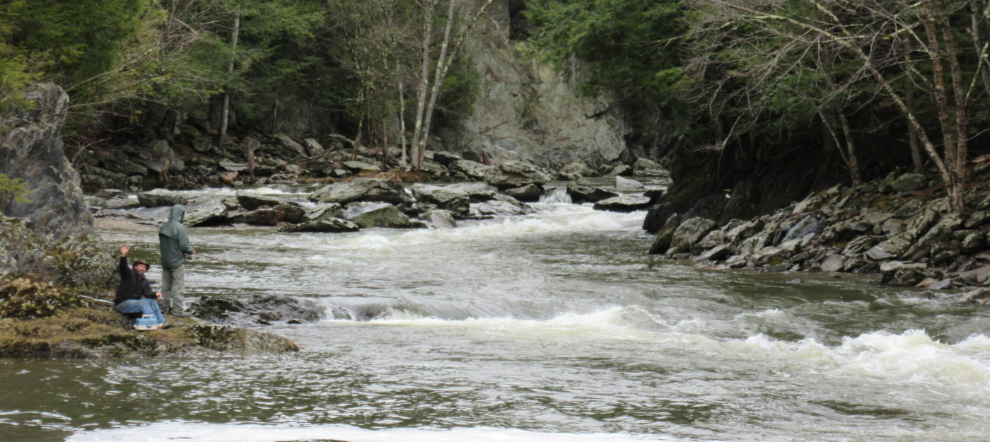
Name taken from a ski trail at Jay noting our shared passion for skiing and boating with our Canadian neighbors. CanAm cimes up after soon after Ironing Board,a short bit of moving water, horizon line, then CanAm. Scout left but if you decide on far river right line check it from right shore for wood and line thru a hole. Is a nice line in center running left side of a rock then making a move going over ledge. Also, can enter left and work center through ledgey drop.
Longest of MINT's rapids, some play water level dependent. This is followed by small rapids and flatwater to first takeout on river left at Bergeron rd/Vieulleux rd. There is a temporary bridge replacing burnt covered bridge destroyed in 2021. Takeout on left above bridge
Location
Other Rapids on This Run (10)

Current Conditions
5-Day Forecast
American Whitewater