Tigerton Dells: Hwy.45 to CTH.M (2.4 miles)
Gauge Conditions
Runnable: ? – ? CFS
Approximate reading: This gauge is 15.0 miles away on Embarrass. Use as a general reference only.
Data from American Whitewater & USGS
Run Map
Interactive run map
Loads as you approach this section.
Run Time Estimate
Select put-in and take-out to estimate time.
Plan This Trip
See wind-adjusted speed maps, forecast planning, and detailed time estimates.
Sign in to generate an AI timing estimate for this run.
Whitewater timing varies with scouting, portages, and group pace. Use as a planning baseline.
Description
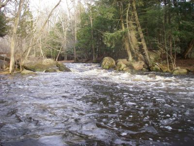
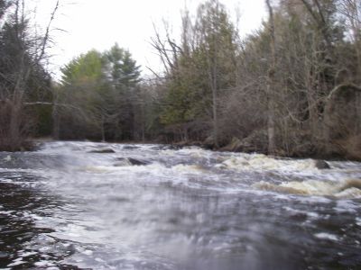
A mostly flatwater access paddle contains a few good warm-up drops which allow some fine, easy play. What could otherwise be a peaceful access is likely to be disturbed by the roar of off-road vehicles in the adjacent Tigerton OHV Park and Campground.
The crux of this run is a wonderful finale at the dells. A half-mile of continuous action, through a rock walled rocky dells, demands strong intermediate skills. (Be very vigilant, looking well downstream for rocks and possible wood! There will not be many eddies and action will be swift at moderate or higher flows.) Flips or swims are likely to be brutal. For strong paddlers, numerous play spots (generally with 'two-boat' eddies) exist in this stretch.
This reach is fairly short, so you may wish to combine it with one or more other sections which are close by (for a Shawano County double- or triple-header):
- Hayman Falls
- Rocky Run
- Upper Red
Rapids in this Run (2)
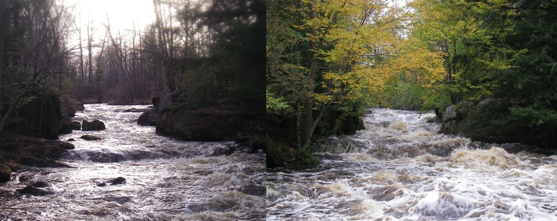
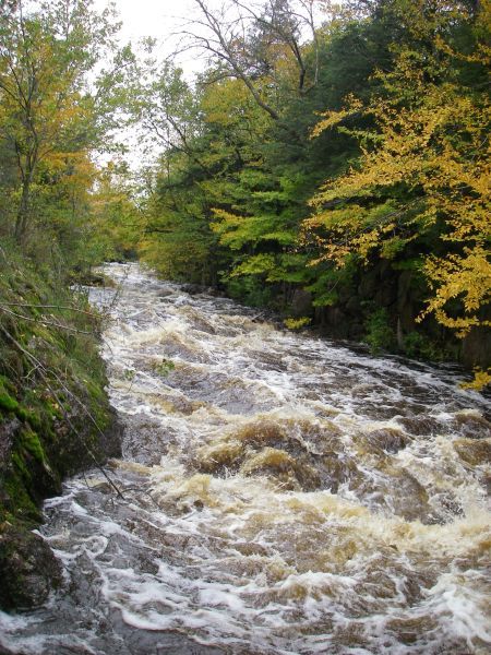
Playspots (4)
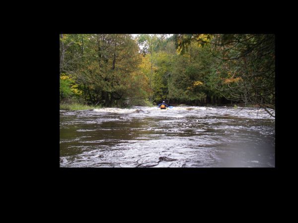
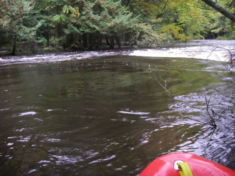
Hazards & Portages (1)
Caution: The following locations may require scouting or portaging. Always check current conditions.
Difficulty
Class II-III
Length
2.4 mi
Gradient
25 ft/mi
max 42
Rapids
2
1 Portage
Access Points
Difficulty Classes
I Easy
II Novice
III Intermediate
IV Advanced
V Expert/Extreme
VI Unrunnable
Current Conditions
5-Day Forecast
Whitewater data from
American Whitewater
American Whitewater