Upper (or Middle) and Lower Dells
Save this feature with the run it belongs to.
Gauge Conditions
Runnable: ? – ? CFS
Approximate - nearest available gauge. Use as general reference only.
Data from American Whitewater & USGS
Photo
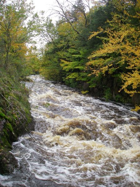
Photo courtesy of American Whitewater
Description
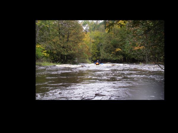
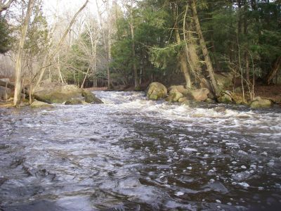
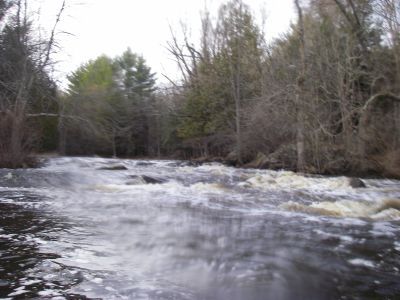
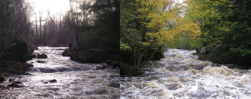
After running the Dells Entrance drop, the river swings 90-degrees to the right and immediately heads into a long, technical, boulder-garden dells. Depending on flows and your skills and interests, there may be some play possible through here, but action is pretty continuous until a brief pool midway along. This separates the Upper (or Middle) Dells from the Lower Dells, where more of the same technical boulder-bed leads to the final pool as you come to the bridge for your take-out.
Location
Interactive river map
Loads as you approach this section.


View Full Run
Tigerton Dells: Hwy.45 to CTH.M (2.4 miles)
Embarrass, S.Br.
II-III
2.4 mi
Current Conditions
5-Day Forecast
Whitewater data from
American Whitewater
American Whitewater