Dells Entrance
Save this feature with the run it belongs to.
Gauge Conditions
Approximate - nearest available gauge. Use as general reference only.
Photo
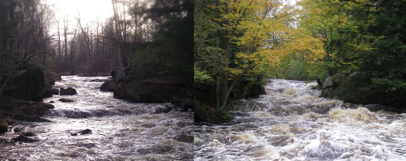
Description
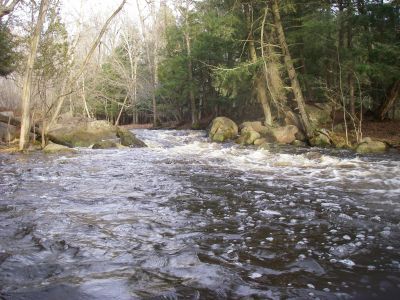
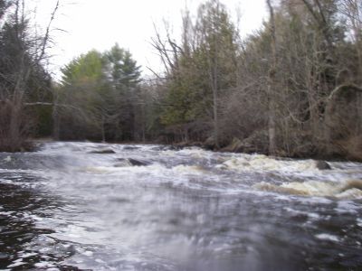
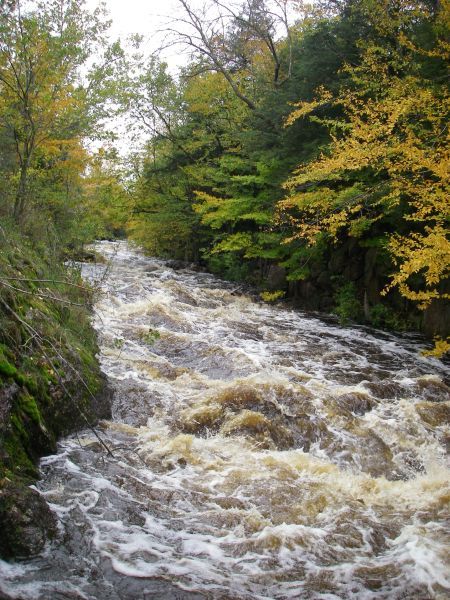
You will see an obvious narrowing and rocky shores, which should be your sign to get out and scout (river-right is generally best). The entrance to the dells has some interesting rocks, waves, and a hole which can be VERY keepy! It can be skirted to the left, but you want to be a strong paddler, and confident of your line to avoid betting worked (at least at some flows). (It may actually be more keepy at low-moderate flows, and less keepy at higher flows!)
For what it's worth, some call this the 'Upper Dells', and the entire rest of the run (after passing the bend) the 'Lower Dells'. I prefer calling this first bit the 'Dells Entrance', and then splitting the straight-away (after the bend) into the 'Upper' and 'Lower' Dells, since there is a brief pool which lies midway down that stretch.
Location


Current Conditions
5-Day Forecast
American Whitewater