Diamond-D Ranch Rapids
Save this feature with the run it belongs to.
Gauge Conditions
Runnable: ? – ? CFS
Approximate - nearest available gauge. Use as general reference only.
Data from American Whitewater & USGS
Photo
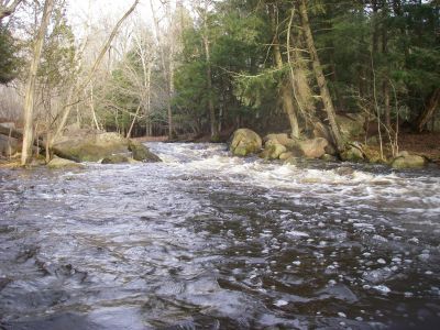
Photo courtesy of American Whitewater
Description
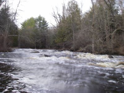
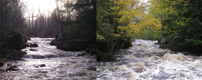
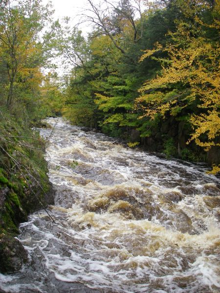
Islands split the river. The widest/main channel is to the right. At higher flows, a narrow center channel may be run (fairly simple), and the left channel offers a rock-boof move.
Location
Interactive river map
Loads as you approach this section.


View Full Run
Tigerton Dells: Hwy.45 to CTH.M (2.4 miles)
Embarrass, S.Br.
II-III
2.4 mi
Current Conditions
5-Day Forecast
Whitewater data from
American Whitewater
American Whitewater