Anunson Trace Rapids
Save this feature with the run it belongs to.
Gauge Conditions
Runnable: 200.0 – 1,000.0 CFS
Too low for reasonable whitewater. (May be paddled as a scenic float trip, but all gradient will be a scrape or carry.)
Data from American Whitewater & USGS
Description
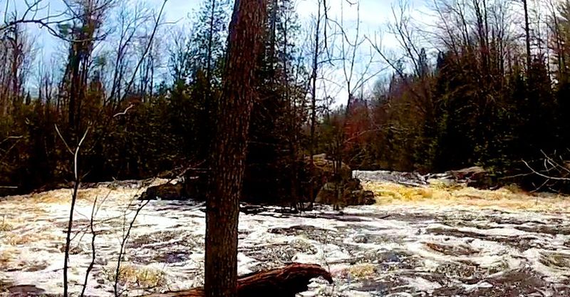
This rapids can be added to the run if you drag your boat a short ways above the bridge along the river-right. The bridge and bedrock ledge concentrate flow through this short drop. At high flow (>650 CFS) the center path leads to a large sucking hole directly under the bridge. At lesser flows the hole is a sweet s-shaped path past the brink of the hole. At low flow, the rapids ends in a confusing river-wide stone-field. Be prepared to stop or back-ferry immediately after s-shape drop.
Location
Interactive river map
Loads as you approach this section.
Other Rapids on This Run (15)
 Rapid
N/A
Rapid
N/A
Put In
Rapid
II
Nagler Rapids
Portage
N/A
Portage Landing
 Hazard
II+
Hazard
II+
Little Bull Falls
 Rapid
II
Rapid
II
Klopsteg Rapids
Rapid
II
Slide-by Rapids
Rapid
II
Little and Big Murphy Rapids
Rapid
II
Nine-Day Rapids
Rapid
II
Big Eddy Rapids
Portage
II
Temptation Rapids to Portage
 Portage
N/A
Portage
N/A
Portage Landing
 Rapid
III
Rapid
III
Big Bull Falls
 Rapid
II
Rapid
II
Long-Day Rapids
Rapid
N/A
Hwy.101
 Rapid
N/A
Rapid
N/A
Take Out
View Full Run
C) Morgan Lake Rd to Hwy 101 (5.4 miles)
Popple
II-III+
5.1 mi
Current Conditions
5-Day Forecast
Whitewater data from
American Whitewater
American Whitewater