Nine-Day Rapids
Save this feature with the run it belongs to.
Gauge Conditions
Runnable: 200.0 – 1,000.0 CFS
Too low for reasonable whitewater. (May be paddled as a scenic float trip, but all gradient will be a scrape or carry.)
Data from American Whitewater & USGS
Description
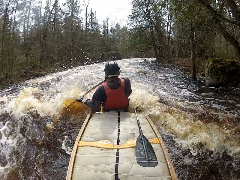
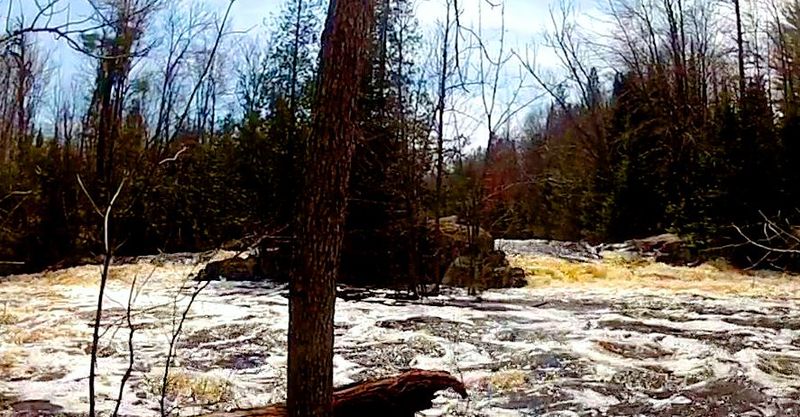
At 1/3 mile in length this is the longest rapids on this stretch. Many guide maps have the wrong location of this rapids. It is not where the DNR “nine-day” campsite is. Historically (from logging era), the original name for this rapids was changed from Long Rapids to Nine-Day Rapids when it took Anunson's crew 9 days to clear a log jam at the foot of this complex set of rapids. At flows under 300 CFS, to avoid hanging up on the rocky shallows, stay to the outside (river-right) as the river widens and turns abruptly left.
Location
Interactive river map
Loads as you approach this section.
Other Rapids on This Run (15)
Rapid
II
Anunson Trace Rapids
 Rapid
N/A
Rapid
N/A
Put In
Rapid
II
Nagler Rapids
Portage
N/A
Portage Landing
 Hazard
II+
Hazard
II+
Little Bull Falls
 Rapid
II
Rapid
II
Klopsteg Rapids
Rapid
II
Slide-by Rapids
Rapid
II
Little and Big Murphy Rapids
Rapid
II
Big Eddy Rapids
Portage
II
Temptation Rapids to Portage
 Portage
N/A
Portage
N/A
Portage Landing
 Rapid
III
Rapid
III
Big Bull Falls
 Rapid
II
Rapid
II
Long-Day Rapids
Rapid
N/A
Hwy.101
 Rapid
N/A
Rapid
N/A
Take Out
View Full Run
C) Morgan Lake Rd to Hwy 101 (5.4 miles)
Popple
II-III+
5.1 mi
Current Conditions
5-Day Forecast
Whitewater data from
American Whitewater
American Whitewater