Take-out
WI
Take Out
Save this feature with the run it belongs to.
Gauge Conditions
Runnable: 200.0 – 1,000.0 CFS
Too low for reasonable whitewater. (May be paddled as a scenic float trip, but all gradient will be a scrape or carry.)
Data from American Whitewater & USGS
Photo
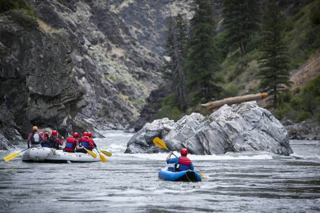
Photo courtesy of American Whitewater
Description
Take Out is the terminal rapid of this section, marking the end of the run where paddlers must exit the river at the highway bridge. The rapid itself appears relatively straightforward, but careful attention is required to navigate the takeout point safely, avoiding potential obstacles near the bridge abutments and ensuring a clean exit from the river.
Location
Interactive river map
Loads as you approach this section.
Other Rapids on This Run (15)
Rapid
II
Anunson Trace Rapids
 Rapid
N/A
Rapid
N/A
Put In
Rapid
II
Nagler Rapids
Portage
N/A
Portage Landing
 Hazard
II+
Hazard
II+
Little Bull Falls
 Rapid
II
Rapid
II
Klopsteg Rapids
Rapid
II
Slide-by Rapids
Rapid
II
Little and Big Murphy Rapids
Rapid
II
Nine-Day Rapids
Rapid
II
Big Eddy Rapids
Portage
II
Temptation Rapids to Portage
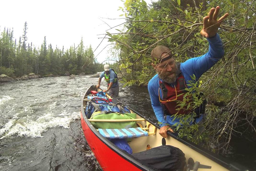 Portage
N/A
Portage
N/A
Portage Landing
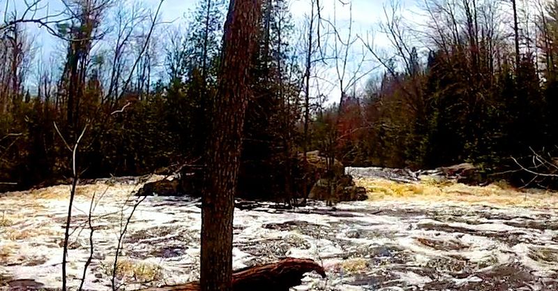 Rapid
III
Rapid
III
Big Bull Falls
 Rapid
II
Rapid
II
Long-Day Rapids
Rapid
N/A
Hwy.101
View Full Run
C) Morgan Lake Rd to Hwy 101 (5.4 miles)
Popple
II-III+
5.1 mi
Current Conditions
5-Day Forecast
Whitewater data from
American Whitewater
American Whitewater