Rapid
CA
Big Island split
Save this feature with the run it belongs to.
Gauge Conditions
Runnable: ? – ? CFS
Approximate - nearest available gauge. Use as general reference only.
Data from American Whitewater & USGS
CDEC Flow Data California
Data from California Data Exchange Center (CDEC)
Description
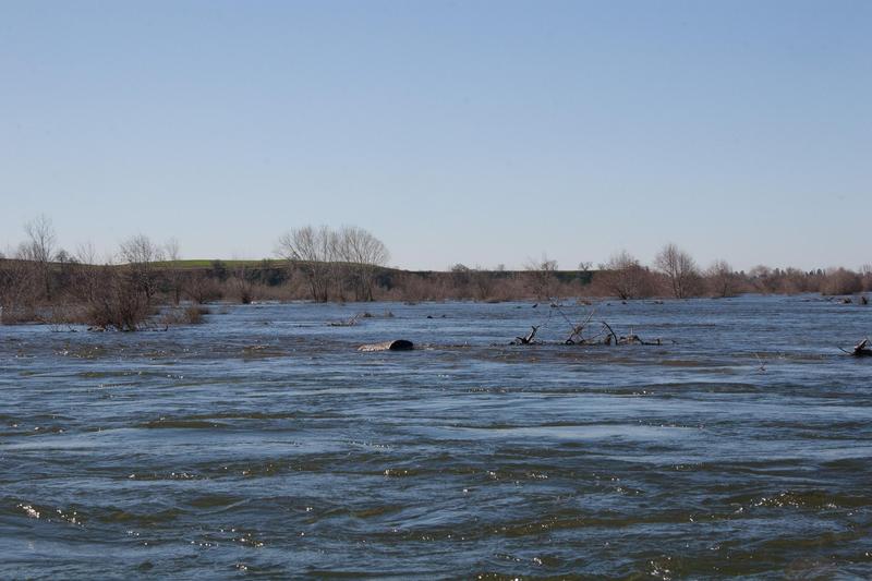
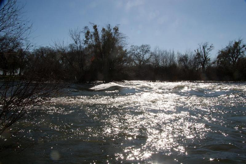
The river forks around a very large island. The left fork loops to the south and back in 1 mile. The right fork cuts directly across in 1/3 mile, but at the end has nasty tree and brush hazards. We got through (feb 8, 2011, 3200 cfs), but wasted time trying to find a route, scared ourselves even on the route we did find and fought with berry bushes. Take the left route.
Mileages from this point downstream are based on taking the right fork but will be adjusted soon.
Location
Other Rapids on This Run (17)
 Rapid
N/A
Rapid
N/A
Put In
Rapid
N/A
Put in and largest rapid
 Rapid
N/A
Rapid
N/A
Henderson Park
Rapid
N/A
Snelling access
Rapid
N/A
Snelling Road bridge
 Rapid
N/A
Rapid
N/A
Start of Restoration Area
 Rapid
N/A
Rapid
N/A
J59 Bridge
Rapid
N/A
Bridge (private)
Rapid
N/A
Weir
 Playspot
N/A
Playspot
N/A
Bridge, then weir
 Rapid
N/A
Rapid
N/A
Oakdale Road Bridge
Rapid
N/A
Road 37 / Railroad trestle
Rapid
N/A
McConnell Park
Rapid
N/A
Highway 99 bridge
Rapid
N/A
Hagaman Park
Rapid
N/A
George Hatfield State Rec Area
Rapid
N/A
San Joaquin River Confluence
View Full Run
8) Snelling diversion to San Joaquin confluence
Merced
I(II)
51.7 mi
Current Conditions
5-Day Forecast
Whitewater data from
American Whitewater
American Whitewater