Rapid
CA
J59 Bridge
Save this feature with the run it belongs to.
Gauge Conditions
Runnable: ? – ? CFS
Approximate - nearest available gauge. Use as general reference only.
Data from American Whitewater & USGS
CDEC Flow Data California
Data from California Data Exchange Center (CDEC)
Photo
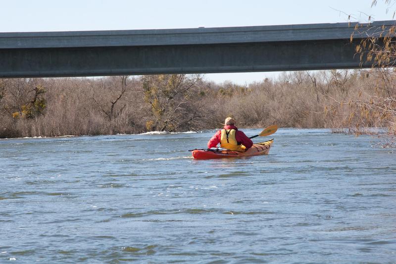
Photo courtesy of American Whitewater
Description
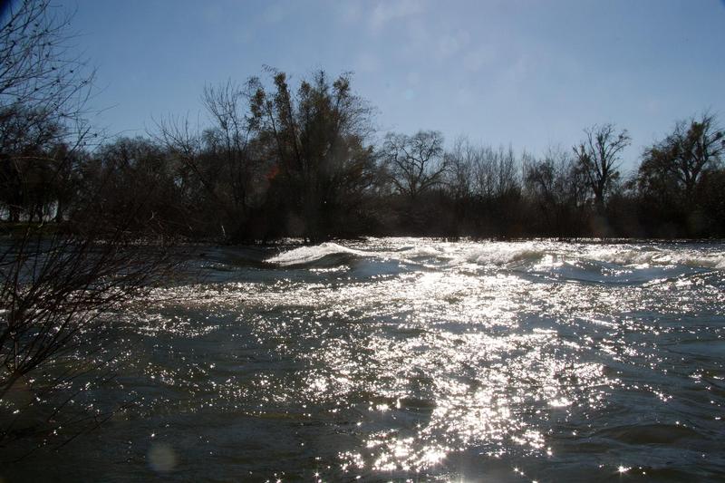
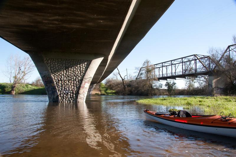
With the construction of a new bridge over the river, there is now designated river access with plenty of parking on the northwest side of the bridge. A trail leads down to the river and a sign states fishing regulations.
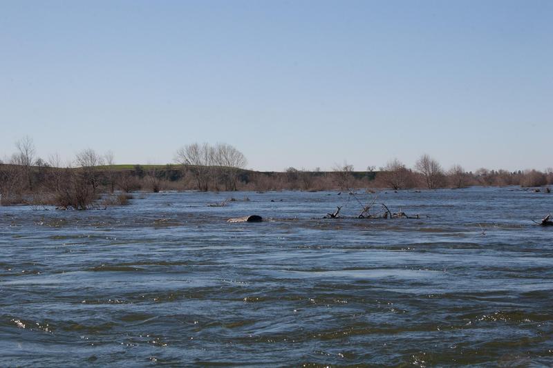
Downstream of J59, brush hazards are a bigger problem, along with deciding which channels to take. In a few places, the channel will split, then resplit, then filter through brush. There is generally a clear channel someplace, but it is easy to take channels that are not so clear.
Location
Other Rapids on This Run (17)
Rapid
N/A
Put in and largest rapid
 Rapid
N/A
Rapid
N/A
Put In
 Rapid
N/A
Rapid
N/A
Henderson Park
Rapid
N/A
Snelling access
Rapid
N/A
Snelling Road bridge
 Rapid
N/A
Rapid
N/A
Start of Restoration Area
Rapid
N/A
Bridge (private)
Rapid
N/A
Big Island split
Rapid
N/A
Weir
 Playspot
N/A
Playspot
N/A
Bridge, then weir
 Rapid
N/A
Rapid
N/A
Oakdale Road Bridge
Rapid
N/A
Road 37 / Railroad trestle
Rapid
N/A
McConnell Park
Rapid
N/A
Highway 99 bridge
Rapid
N/A
Hagaman Park
Rapid
N/A
George Hatfield State Rec Area
Rapid
N/A
San Joaquin River Confluence
View Full Run
8) Snelling diversion to San Joaquin confluence
Merced
I(II)
51.7 mi
Current Conditions
5-Day Forecast
Whitewater data from
American Whitewater
American Whitewater