Oakdale Road Bridge
Save this feature with the run it belongs to.
Gauge Conditions
Approximate - nearest available gauge. Use as general reference only.
CDEC Flow Data California
Photo
Description
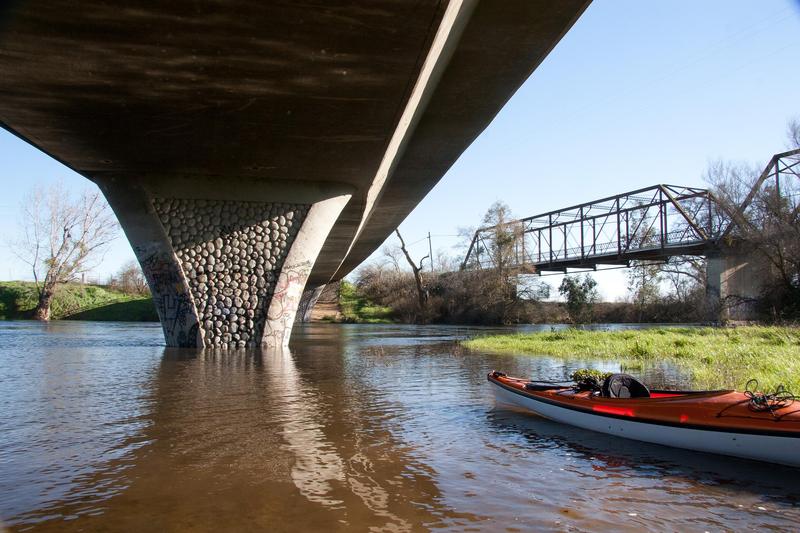
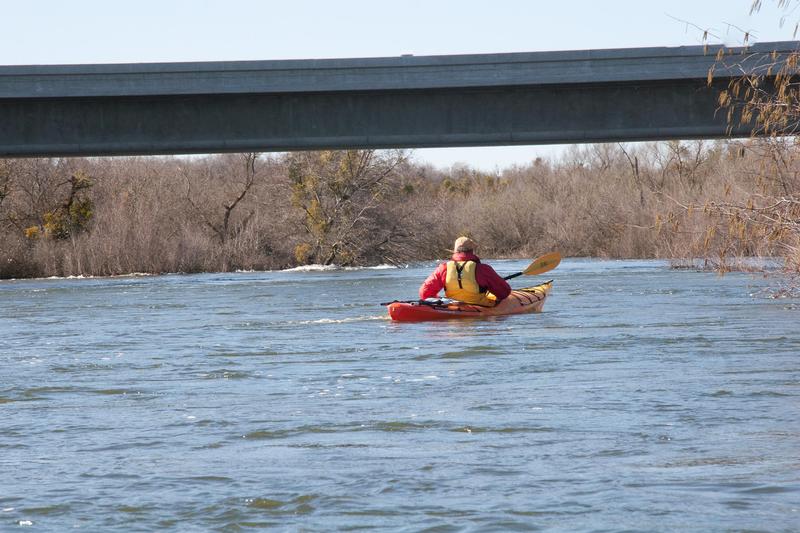
There is public parking on the northwest side of the Oakdale road bridge. From the parking area you can walk out onto the historic Shaffer Bridge. It is a nice stroll and gives a good view of the river downstream. The up river view is blocked by the newer bridge. Public access to the river is prohibited by penal code 602. Chain link fences completely block access, except where there is a big hole in the fence with a trail leading down to the river. We were not hassled when we left a car here in February and used this area as a take out. Might be very different in the summer.
Some water agreements require the Merced Irrigation District to provide certain minimum flows to this point in the river depending on the time of year. A gauging station is mounted on the downstream side of the Shaffer bridge towards the middle.
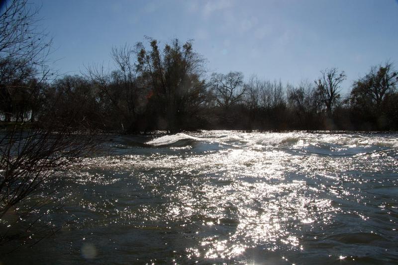
There probably are not any or many riffles below this point.
Location
Other Rapids on This Run (17)
 Rapid
N/A
Rapid
N/A
 Rapid
N/A
Rapid
N/A
 Rapid
N/A
Rapid
N/A
 Rapid
N/A
Rapid
N/A
 Playspot
N/A
Playspot
N/A
Current Conditions
5-Day Forecast
American Whitewater