Big Smokey Falls
Save this feature with the run it belongs to.
Gauge Conditions
Runnable: 150.0 – 1,000.0 CFS
~6-12"; medium runnable flow.
Data from American Whitewater & USGS
Photo
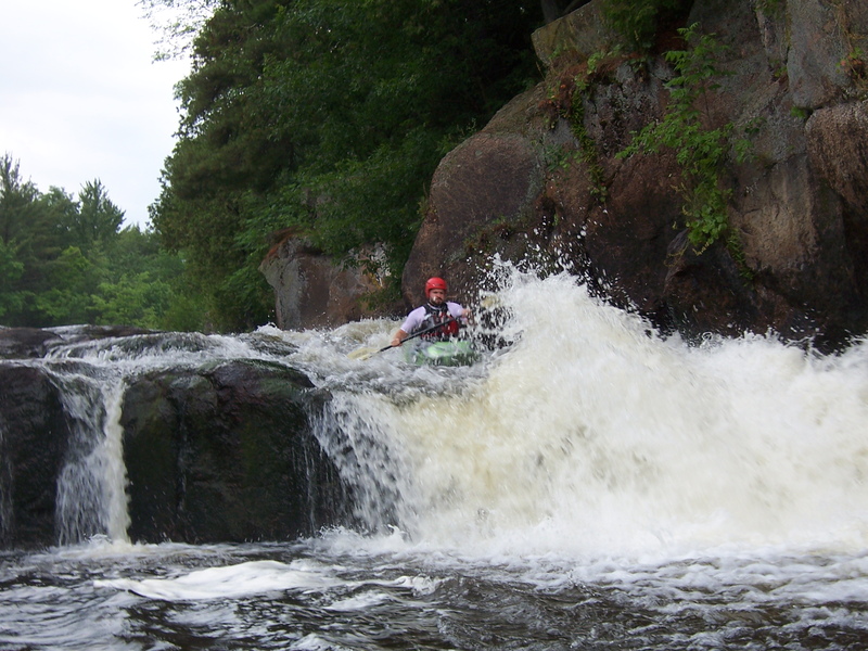
Photo courtesy of American Whitewater
Description
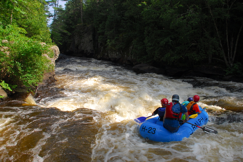
After nearly two miles of dead-flat water (the longest stretch of the run) you encounter an island. A very few people may plan to not run the grand finale, Big Smokey Falls, in which case you can take the left channel, and take out BEFORE passing under the footbridge.
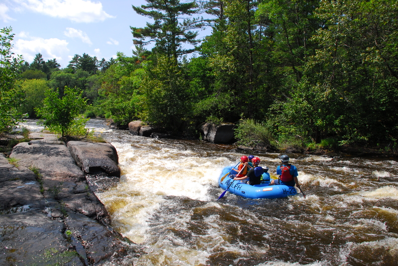
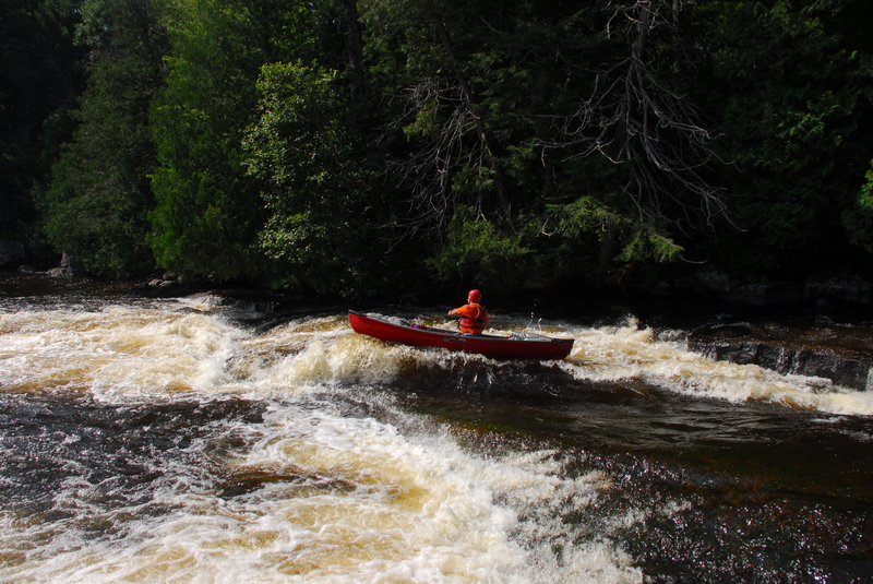
The usual route is to head to the right at this island to a wonderful long sliding drop, through a series of waves and holes (a few are playable if you have the 'stones' to do so with what lies downstream), a couple of fine diagonal waves (especially at high water), and a final 'whoopie' off a ledge/drop (with a nice rooster-tail) into the BIG pool below.
Location
Interactive river map
Loads as you approach this section.
Other Rapids on This Run (11)
Rapid
N/A
Otter Slide (Drainage ~501 sq.mi.)
 Playspot
II
Playspot
II
Trip Rapids
 Waterfall
III+
Waterfall
III+
Sullivan Falls
Rapid
II+
Evergreen Rapids
 Playspot
III
Playspot
III
Upper Ducknest
 Rapid
III
Rapid
III
Lower Ducknest
 Playspot
III
Playspot
III
Lunch Rock
 Playspot
III+
Playspot
III+
Upper Dells
 Playspot
II
Playspot
II
Ledge
 Playspot
III+
Playspot
III+
Lower Dells
Rapid
N/A
Big Smokey Take Out
View Full Run
F) Sec.4: Otter Slide to Big Smokey Falls (5.96 miles) ** Access Fee **
Wolf
II-III(IV)
5.9 mi
Current Conditions
5-Day Forecast
Whitewater data from
American Whitewater
American Whitewater