Sullivan Falls
Save this feature with the run it belongs to.
Gauge Conditions
Runnable: 150.0 – 1,000.0 CFS
~6-12"; medium runnable flow.
Data from American Whitewater & USGS
Photo
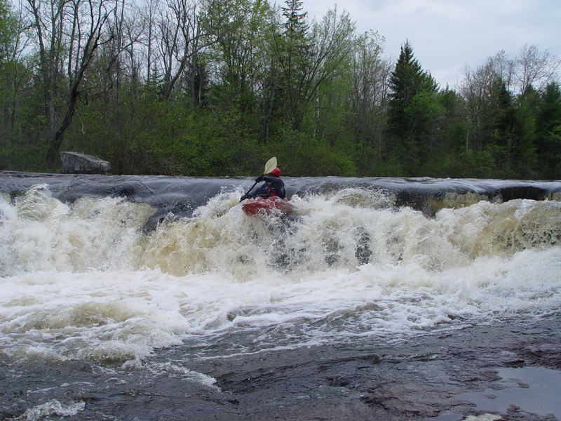
Photo courtesy of American Whitewater
Description
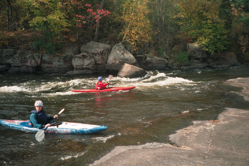
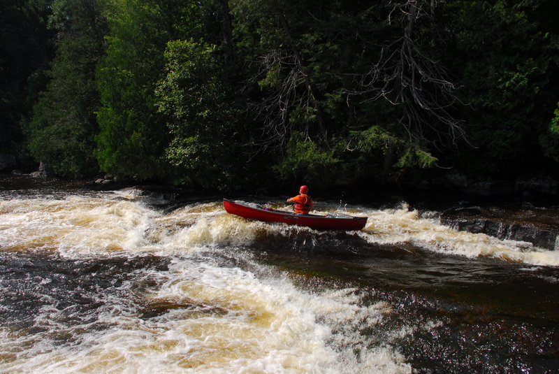
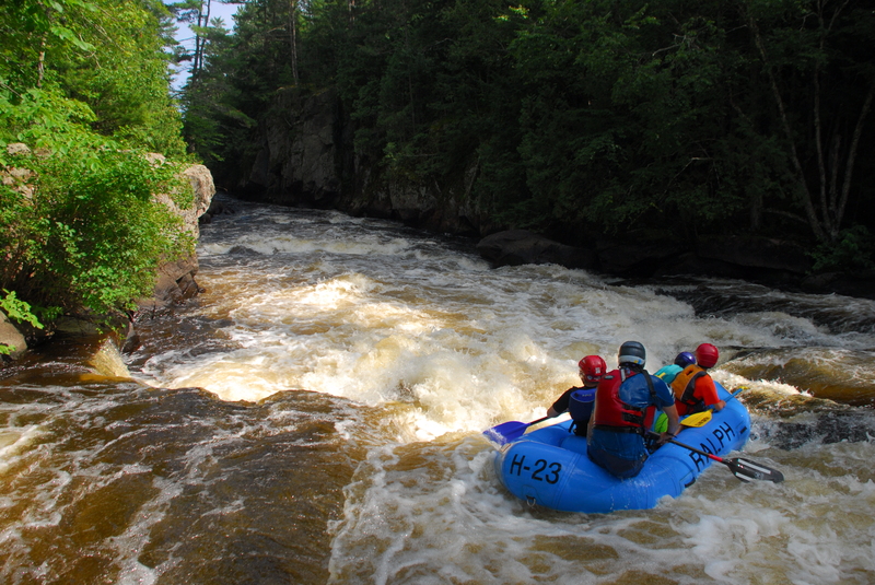
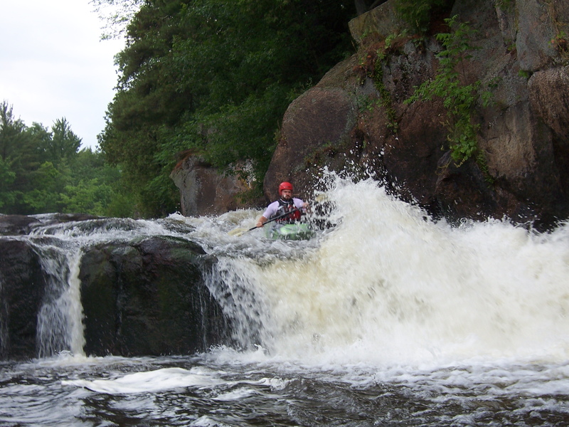
MOST boaters will stay in the main channel (to the left of an island) to head to Sullivan Falls. Usual preferred route is just left of center, to hit a 'flake' on the lip of the (~3-4-5') falls for an 'auto-boof'. Current mostly sheets off to the right (toward a wall of rock) and wraps back to the left. A crease/wave in the pool below allows fine surfs and spins at most flows.
Location
Interactive river map
Loads as you approach this section.
Other Rapids on This Run (11)
Rapid
N/A
Otter Slide (Drainage ~501 sq.mi.)
 Playspot
II
Playspot
II
Trip Rapids
Rapid
II+
Evergreen Rapids
 Playspot
III
Playspot
III
Upper Ducknest
 Rapid
III
Rapid
III
Lower Ducknest
 Playspot
III
Playspot
III
Lunch Rock
 Playspot
III+
Playspot
III+
Upper Dells
 Playspot
II
Playspot
II
Ledge
 Playspot
III+
Playspot
III+
Lower Dells
 Waterfall
IV
Waterfall
IV
Big Smokey Falls
Rapid
N/A
Big Smokey Take Out
View Full Run
F) Sec.4: Otter Slide to Big Smokey Falls (5.96 miles) ** Access Fee **
Wolf
II-III(IV)
5.9 mi
Current Conditions
5-Day Forecast
Whitewater data from
American Whitewater
American Whitewater