Lower Dells
Save this feature with the run it belongs to.
Gauge Conditions
Runnable: 150.0 – 1,000.0 CFS
~6-12"; medium runnable flow.
Data from American Whitewater & USGS
Photo
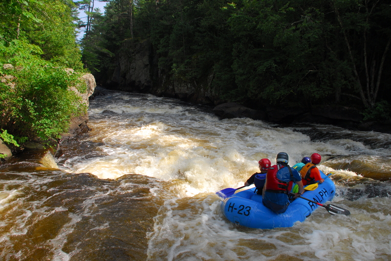
Photo courtesy of American Whitewater
Description
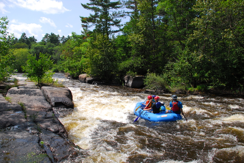
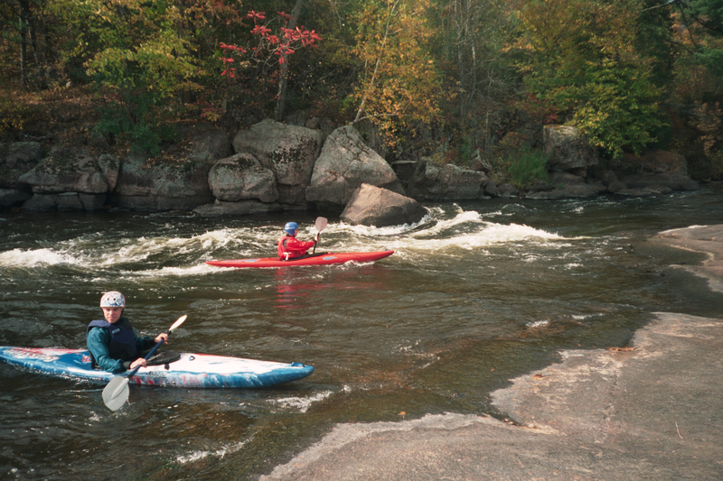
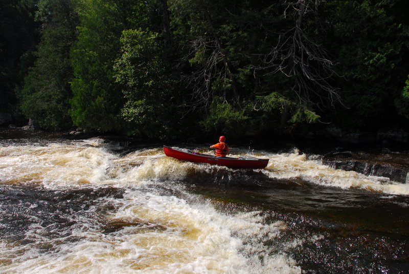
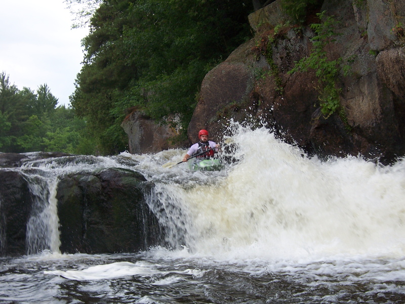
Most boaters will take out (river-left) above this area to scout. A somewhat complex entrance leads into the dells. The crux move comes early. A hump of rock center-river with (usually) a somewhat aggressive hole to the left, and rather grungy alternative to river-right. Almost immediately downstream, as the canyon walls rise overhead, advanced boaters may try to catch a near river-wide wave/hole which allows some play. The heart of the dells is little more than splishy-splash, but you will trip across one final short ledge before you exit the dells into a wide pool below.
Location
Interactive river map
Loads as you approach this section.
Other Rapids on This Run (11)
Rapid
N/A
Otter Slide (Drainage ~501 sq.mi.)
 Playspot
II
Playspot
II
Trip Rapids
 Waterfall
III+
Waterfall
III+
Sullivan Falls
Rapid
II+
Evergreen Rapids
 Playspot
III
Playspot
III
Upper Ducknest
 Rapid
III
Rapid
III
Lower Ducknest
 Playspot
III
Playspot
III
Lunch Rock
 Playspot
III+
Playspot
III+
Upper Dells
 Playspot
II
Playspot
II
Ledge
 Waterfall
IV
Waterfall
IV
Big Smokey Falls
Rapid
N/A
Big Smokey Take Out
View Full Run
F) Sec.4: Otter Slide to Big Smokey Falls (5.96 miles) ** Access Fee **
Wolf
II-III(IV)
5.9 mi
Current Conditions
5-Day Forecast
Whitewater data from
American Whitewater
American Whitewater