Boulder Pile
Save this feature with the run it belongs to.
Gauge Conditions
Runnable: ? – ? CFS
Approximate - nearest available gauge. Use as general reference only.
Data from American Whitewater & USGS
Photo
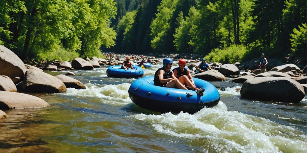
Photo courtesy of American Whitewater
Description
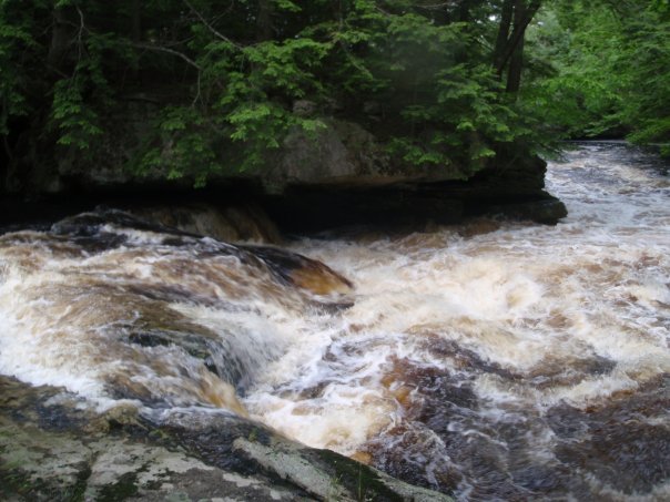
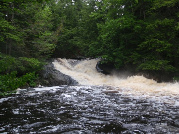
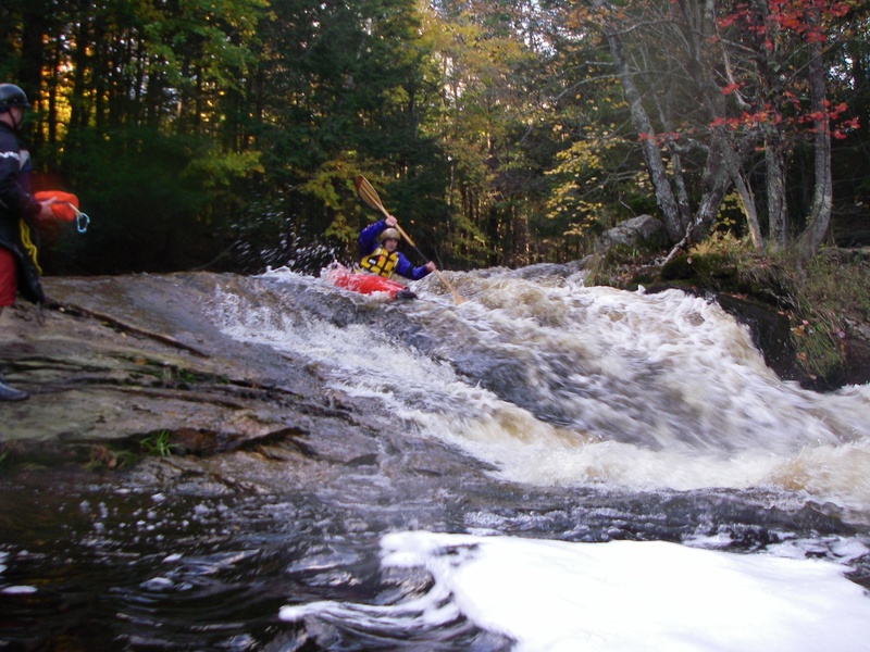
Another rapid where the river turns left and drops down a ledge level. In this one, there has historically been a giant tree/log on the right that isn't to be messed with. Stay left/center and take the smooth road down into the boulders, where things are bound to get a bit bumpy.
Location
Interactive river map
Loads as you approach this section.
View Full Run
U.S. 201 to Cathance Rd
Cathance (Sagadahoc Co.)
III-IV(V)
3.5 mi
Current Conditions
5-Day Forecast
Whitewater data from
American Whitewater
American Whitewater