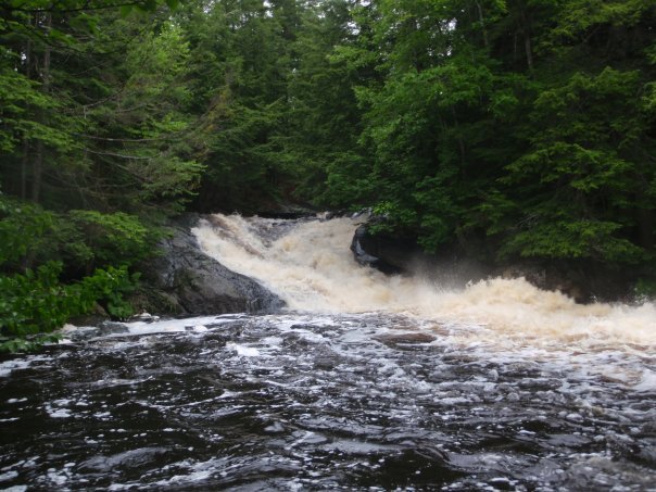
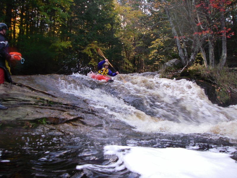
Cave Drop
Save this feature with the run it belongs to.
Gauge Conditions
Runnable: ? – ? CFS
Approximate - nearest available gauge. Use as general reference only.
Data from American Whitewater & USGS
Photo
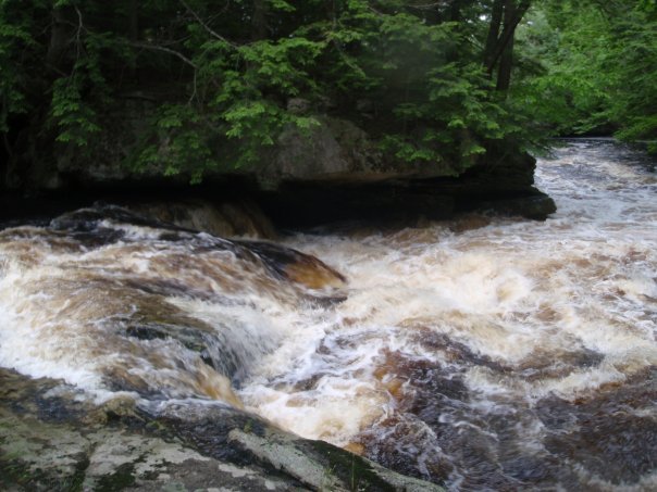
Photo courtesy of American Whitewater
Description
Easily scouted from the rocks on river right. At most levels you can paddle right up to the lip of this and get out there. This rapid goes down a ledge starting left and moving toward the center right of the river bed. There is a flake on the left side of the ledge that does not offer as smooth a boof as it looks and often leads into the cave on river left. Take the tongue from left to right and you'll plug a bit more but have a smooth line through the rapid.
Location
Interactive river map
Loads as you approach this section.

View Full Run
U.S. 201 to Cathance Rd
Cathance (Sagadahoc Co.)
III-IV(V)
3.5 mi
Current Conditions
5-Day Forecast
Whitewater data from
American Whitewater
American Whitewater