Naz's Hole
Save this feature with the run it belongs to.
Gauge Conditions
Runnable: ? – ? CFS
Approximate - nearest available gauge. Use as general reference only.
Data from American Whitewater & USGS
Photo
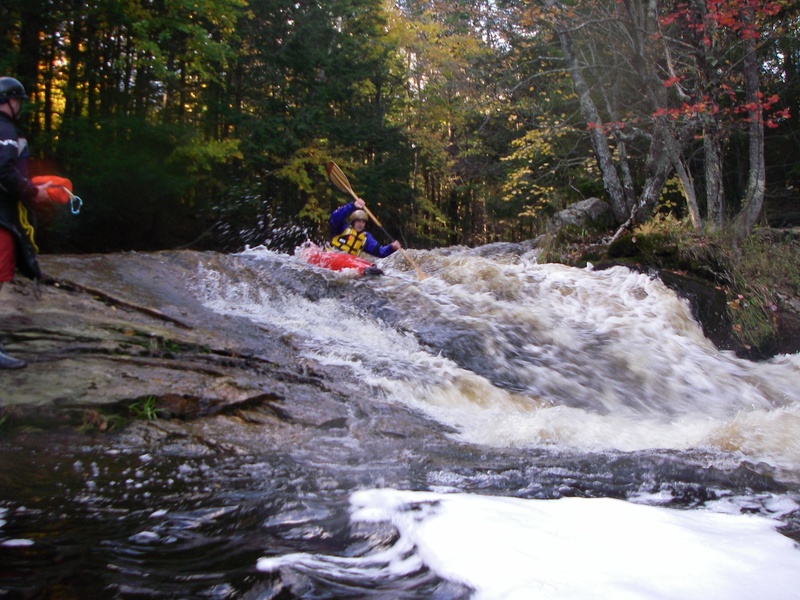
Photo courtesy of American Whitewater
Description
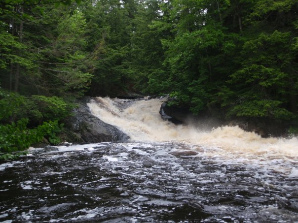
Final rapid of the run for most folks. The hiking trail out is right next to this drop. This is another slide somewhat similar to the previous though a bit more straightforward. Again, it is best to stay right, as the left can get nasty. However, there is a nice move that can be made with a pour-over rock on river left above the slide known as the 'Linehan Boof' that can be made before driving right.
Location
Interactive river map
Loads as you approach this section.

View Full Run
U.S. 201 to Cathance Rd
Cathance (Sagadahoc Co.)
III-IV(V)
3.5 mi
Current Conditions
5-Day Forecast
Whitewater data from
American Whitewater
American Whitewater