Bushy Creek Falls
Save this feature with the run it belongs to.
Photo

Description
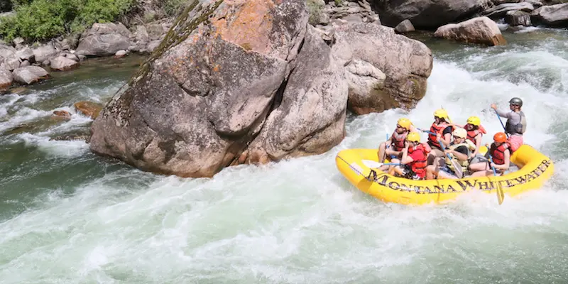
Another brief paddle brings you to a tight left bend and a falls (scout left). There is conflicting information about the correct name here. The topo maps label 'Brushy Creek' entering downstream on river-left, but road maps list 'Bushy Creek Truck Trail' and most references to the falls say 'Bushy Creek Falls'. (My guess is the topo maps label is a typo.) A couple short ledges and a brief pool precede a narrow slot. The river is stuffed between the rocks and into a couple violent holes before racing through the pool below. Numerous pourovers and rocky protuberances (for pitons) exist. "Other than that, it's a fairly straight-forward drop." (My preferred route so far has always been down the left . . . far left . . . walking.)
Location
Other Rapids on This Run (10)


Current Conditions
5-Day Forecast
American Whitewater