Put-in
MI
Put In: CR510
Save this feature with the run it belongs to.
No sufficiently local live gauge linked. 1 automated match was excluded because locality could not be verified. Use the parent run and local sources before making a trip decision.
Description
From 2005 through 2017, USGS had a gauge on this river. With that having gone unfunded, it's now just up to experienced boaters having a 'feel' for when this might have water.
Over the years, there have been a variety of gauges at the put-in bridge. We're uncertain what the present status of gauging is. Can anyone provide info?
Location
Interactive river map
Loads as you approach this section.
Other Rapids on This Run (10)
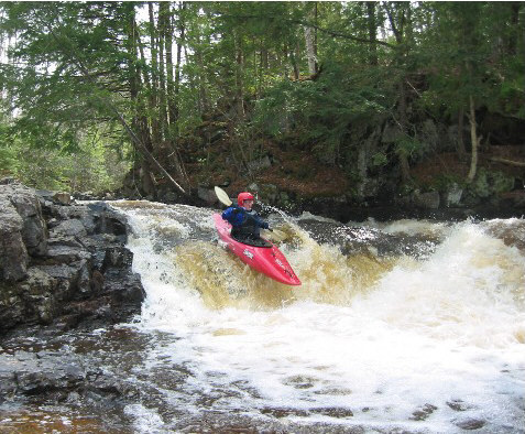 Waterfall
III+
Waterfall
III+
Wag (the tail of the Dog)
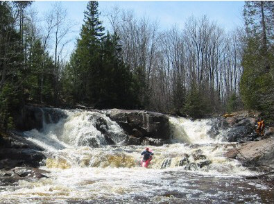 Waterfall
IV+
Waterfall
IV+
Hills Falls (Hair of the Dog)
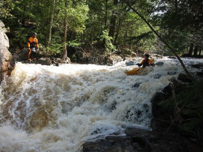 Waterfall
IV
Waterfall
IV
Eyeball (Eye of the Dog)
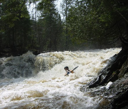 Waterfall
III+
Waterfall
III+
Gullet
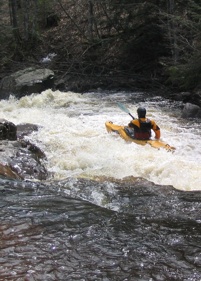 Waterfall
IV
Waterfall
IV
Upper Dog Leg
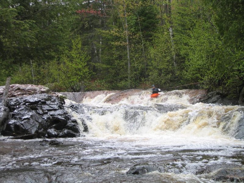 Waterfall
IV
Waterfall
IV
Lower Dog Leg
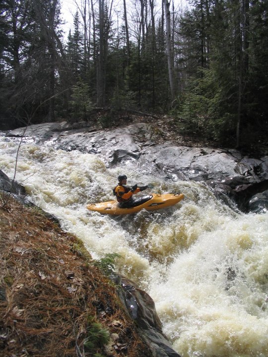 Waterfall
IV
Waterfall
IV
Bushy Creek Falls
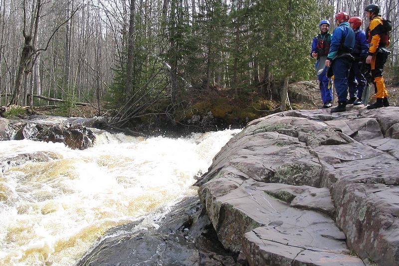 Waterfall
IV
Waterfall
IV
Junkyard
 Rapid
N/A
Rapid
N/A
Take Out: CR550
Rapid
N/A
USGS sampling site
View Full Run
B) 'Lower Dog': CR510 to CR550 (5.1 miles)
Yellow Dog
II-V
5.0 mi
Current Conditions
5-Day Forecast
Whitewater data from
American Whitewater
American Whitewater