Gullet
Save this feature with the run it belongs to.
No sufficiently local live gauge linked. 1 automated match was excluded because locality could not be verified. Use the parent run and local sources before making a trip decision.
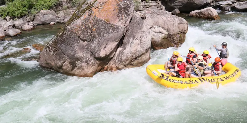
Photo
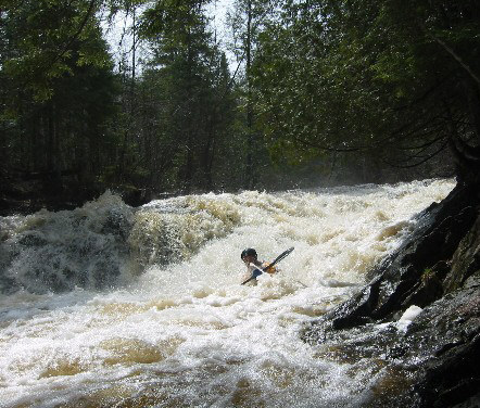
Photo courtesy of American Whitewater
Description
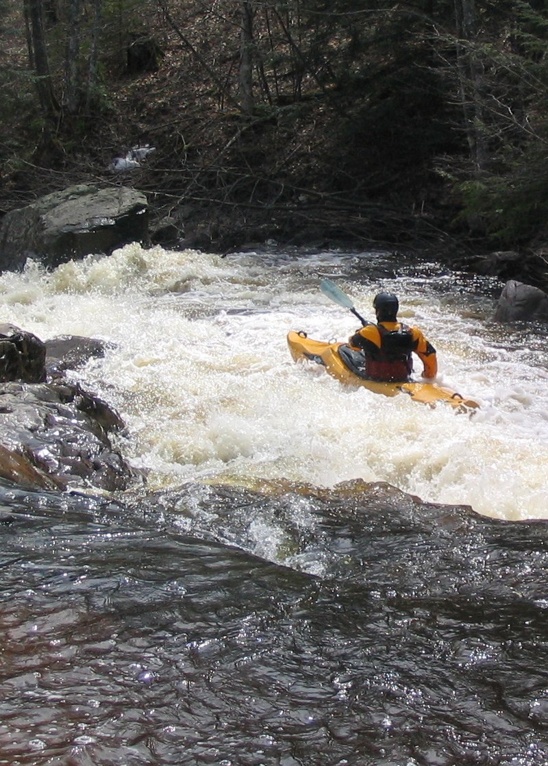
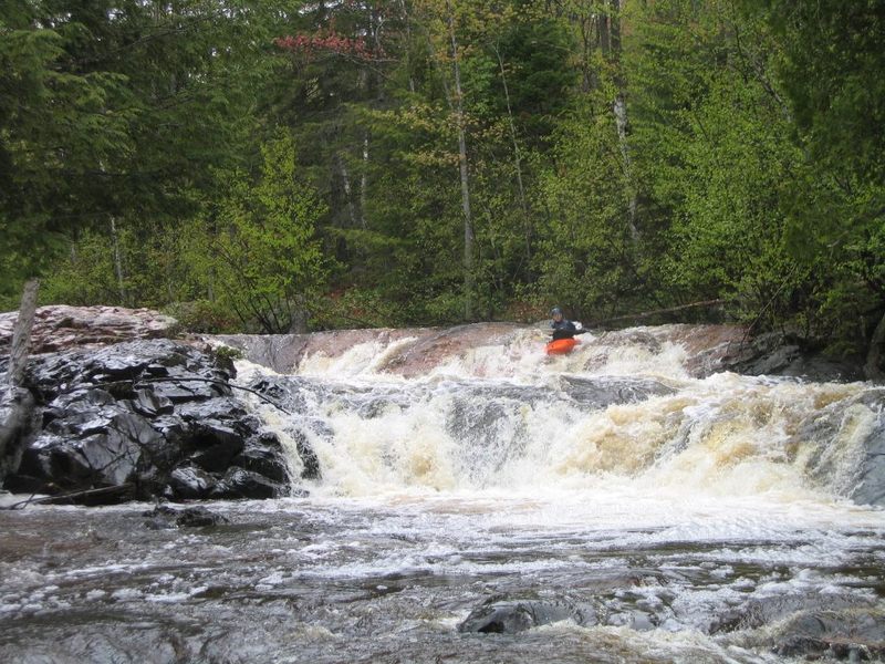
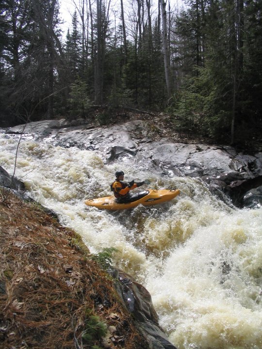
Trailing rapids from the prior drop quickly lead to a right hand bend and Gullet (scout left), where the river drops over an irregular sloping ledge. The right side stays higher, then drops off (forward and diagonally left) mostly onto shallow angular rock. River left (between the left shore-rock and the diagonally sloping river right bedrock) forms a deepening "V," funneling into a (not keepy) hole, some "funny water," and a final ledge/hole. Some play may be possible here, though the water temperature when this is runnable and desire to keep muscles "fresh" for the remainder of the run usually dissuades us from much dallying.
Location
Interactive river map
Loads as you approach this section.
Other Rapids on This Run (10)
Rapid
N/A
Put In: CR510
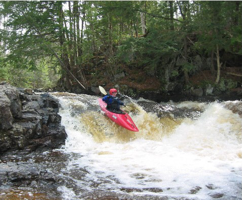 Waterfall
III+
Waterfall
III+
Wag (the tail of the Dog)
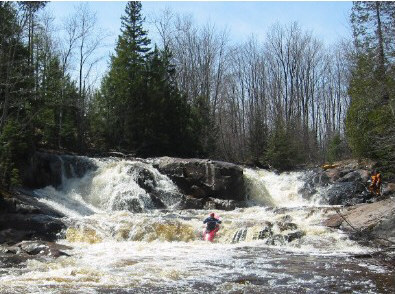 Waterfall
IV+
Waterfall
IV+
Hills Falls (Hair of the Dog)
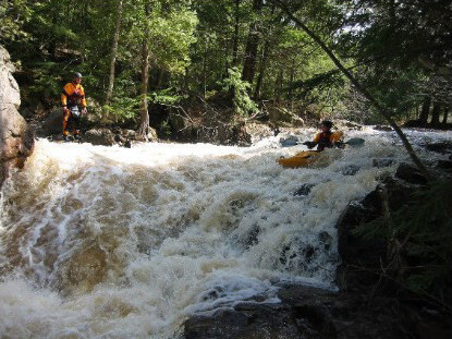 Waterfall
IV
Waterfall
IV
Eyeball (Eye of the Dog)
 Waterfall
IV
Waterfall
IV
Upper Dog Leg
 Waterfall
IV
Waterfall
IV
Lower Dog Leg
 Waterfall
IV
Waterfall
IV
Bushy Creek Falls
 Waterfall
IV
Waterfall
IV
Junkyard
 Rapid
N/A
Rapid
N/A
Take Out: CR550
Rapid
N/A
USGS sampling site
View Full Run
B) 'Lower Dog': CR510 to CR550 (5.1 miles)
Yellow Dog
II-V
5.0 mi
Current Conditions
5-Day Forecast
Whitewater data from
American Whitewater
American Whitewater