Wag (the tail of the Dog)
Save this feature with the run it belongs to.
No sufficiently local live gauge linked. 1 automated match was excluded because locality could not be verified. Use the parent run and local sources before making a trip decision.
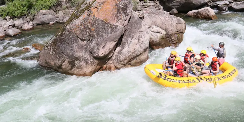
Photo
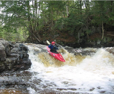
Photo courtesy of American Whitewater
Description
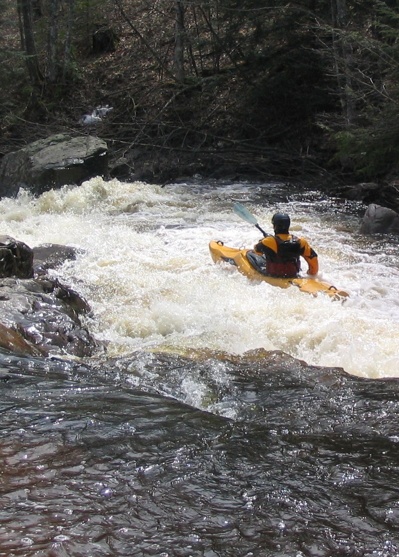
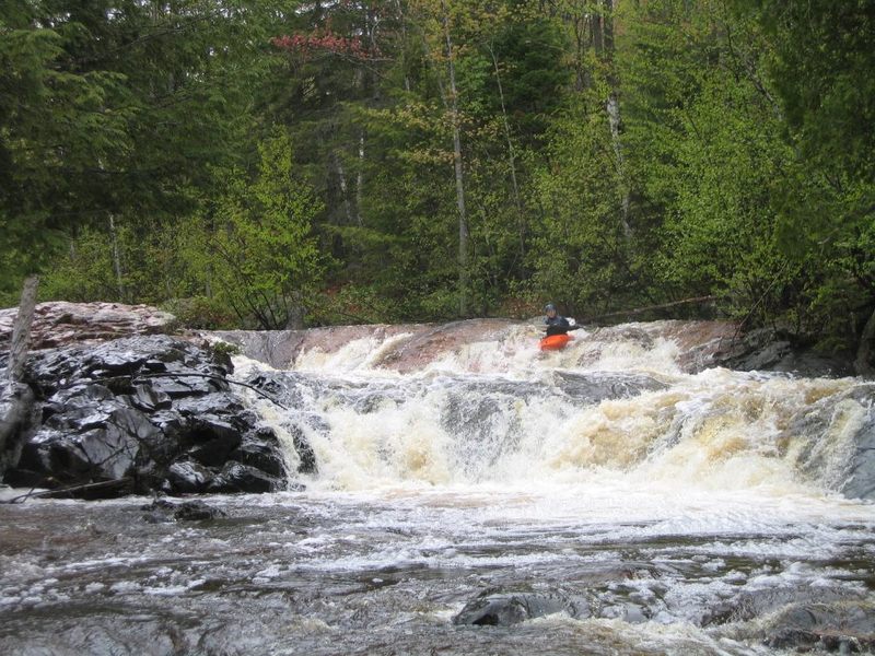
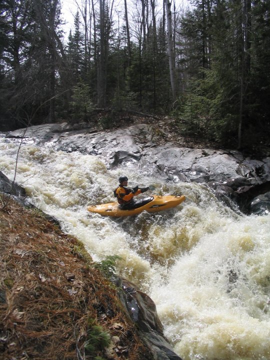
Not far downstream, the river again bends to the left and jumps over Wag (scout right, if so inclined). This short (~3') ledge may be boofed to the right, though be aware it may be a hard landing (piton). Center is ok, though there are some rocks to contend with as well, and far left is an easy slide through a wrapping wave into strong current along a wall of rock rising from the river.
From here the current quickly diminishes, and the only action for the (roughly) 3 mile paddle-out is dodging shoals and strainers ... and talk of how good the first beer and the food at Vierling will be when we get back to Marquette!
Location
Interactive river map
Loads as you approach this section.
Other Rapids on This Run (10)
View Full Run
B) 'Lower Dog': CR510 to CR550 (5.1 miles)
Yellow Dog
II-V
5.0 mi
Current Conditions
5-Day Forecast
Whitewater data from
American Whitewater
American Whitewater