Rapid
WI
Confluence: N.Br.Pike
Save this feature with the run it belongs to.
Gauge Conditions
Runnable: ? – ? CFS
Approximate - nearest available gauge. Use as general reference only.
Data from American Whitewater & USGS
Description
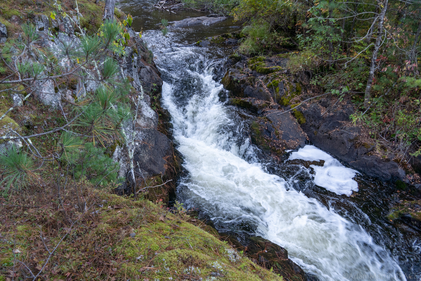
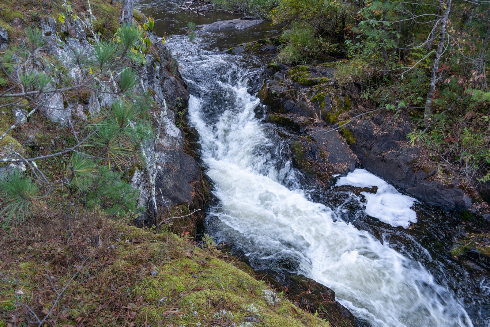
At this point the South Branch meets the North Branch, together becoming the Pike River. This could be used as an access point (as it is our listed take-out for the lower North Branch Pike run). However, most folks will wish to proceed to Dave's Falls to finish their run there.
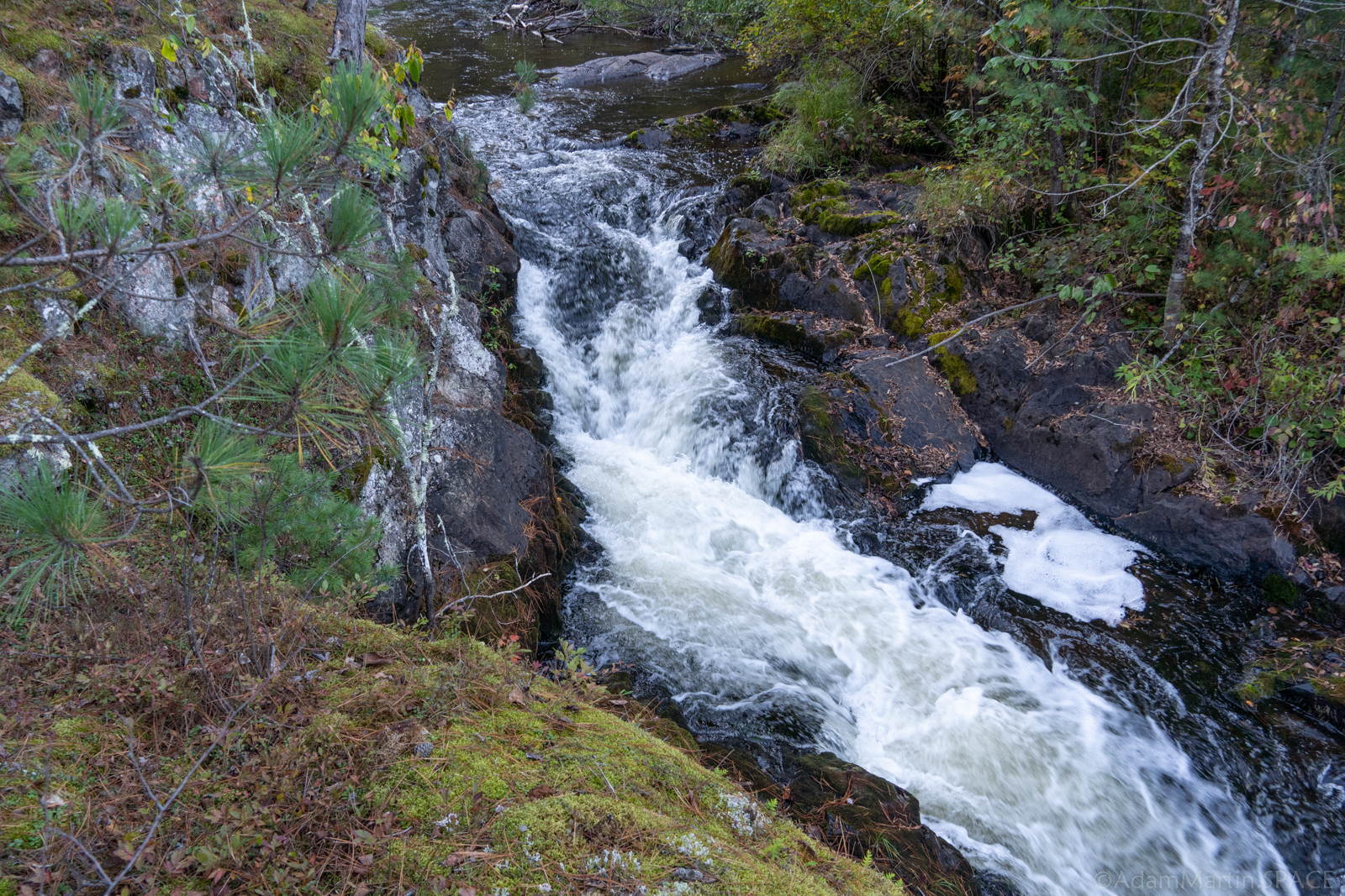
Topo maps show a "rapids" on S.Br.Pike just above this confluence (as well as one on the N.Branch). My recollection (confirmed by aerial views) is that there is no rapids on the S.Branch before the confluence, and the area immediately after the confluenc does have relatively light boulder-bed rips for nearly the next half-mile.
Location
Interactive river map
Loads as you approach this section.
View Full Run
B) LSB Pike: Mathias Lake Road to Dave's Falls
Pike, South Branch
II-IV
4.9 mi
Current Conditions
5-Day Forecast
Whitewater data from
American Whitewater
American Whitewater