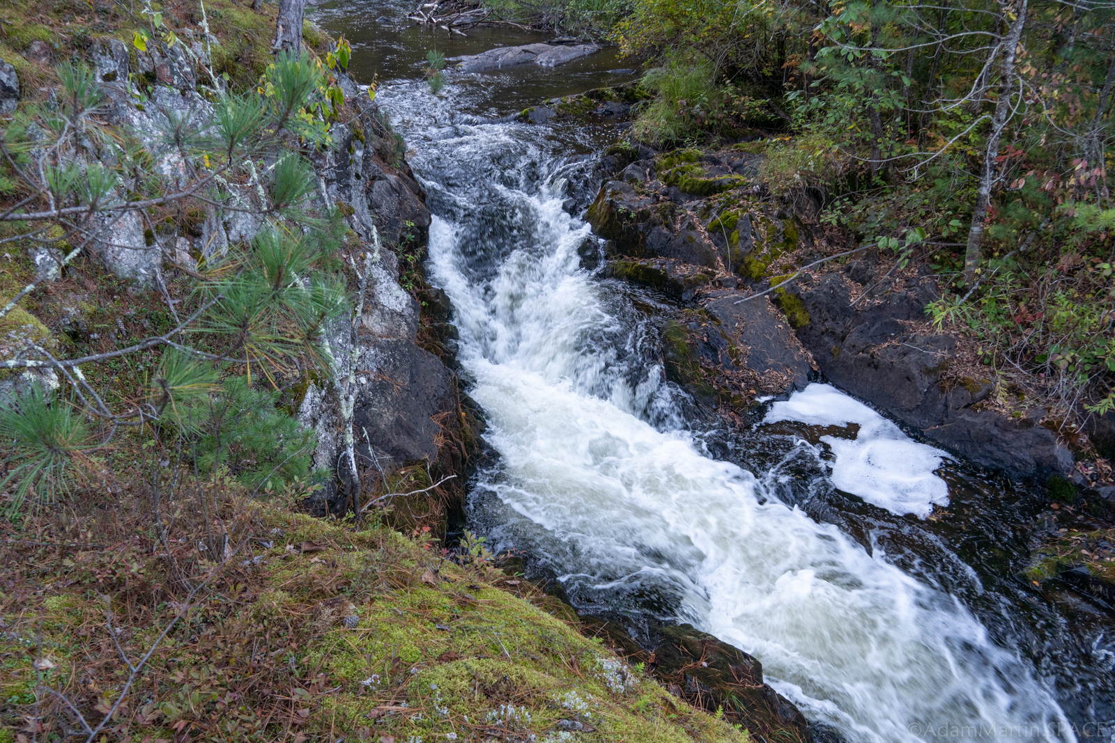
Little South Branch Falls
Save this feature with the run it belongs to.
Gauge Conditions
Runnable: ? – ? CFS
Approximate - nearest available gauge. Use as general reference only.
Data from American Whitewater & USGS
Photo
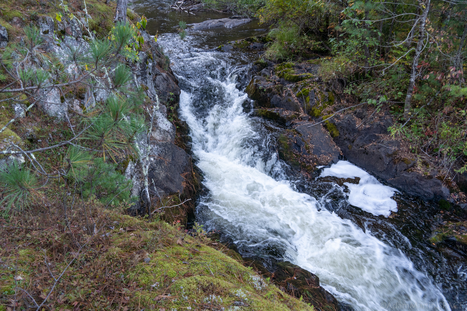
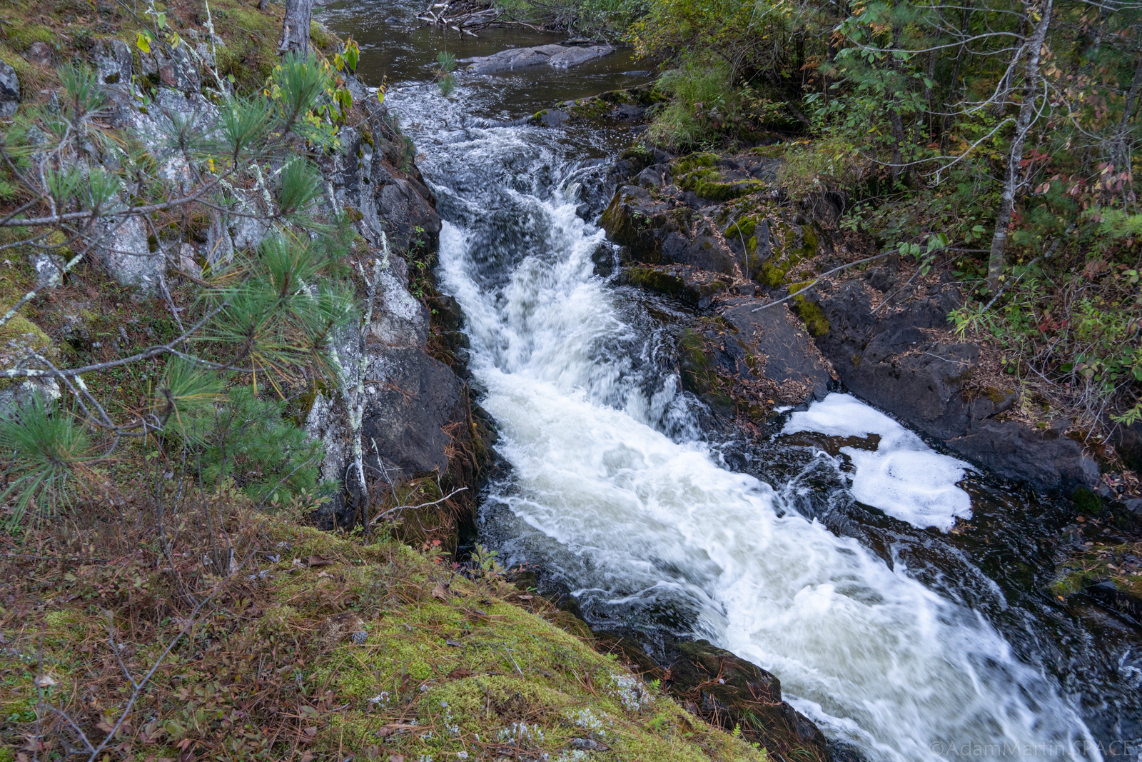
Photo courtesy of American Whitewater
Description
If you look for the confluence of this tributary, if there is decent flow in it, you may wish to paddle/hike upstream to check out a falls (maybe 100 yards long, about 0.1-0.2 mile upstream on it), which may be runnable, to add some more variety to your run.
(At the confluence, the drainage area for the Little South Branch is 26.5 square miles, so ... it's a decent sized tributary.)
Location
Interactive river map
Loads as you approach this section.

View Full Run
B) LSB Pike: Mathias Lake Road to Dave's Falls
Pike, South Branch
II-IV
4.9 mi
Current Conditions
5-Day Forecast
Whitewater data from
American Whitewater
American Whitewater