Waterfall
WI
Dave's Falls
Save this feature with the run it belongs to.
Gauge Conditions
Runnable: ? – ? CFS
Approximate - nearest available gauge. Use as general reference only.
Data from American Whitewater & USGS
Photo
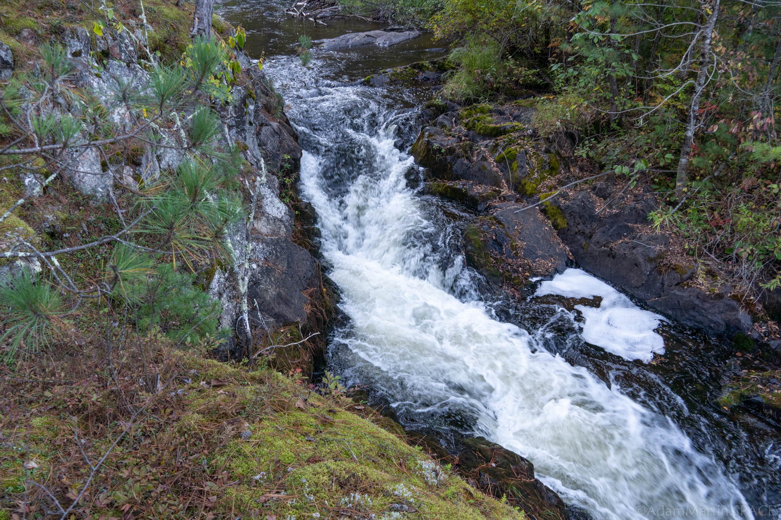
Photo courtesy of American Whitewater
Description
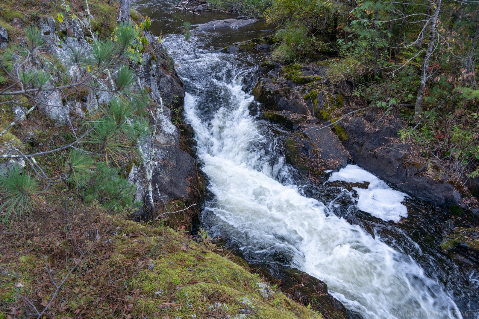
Dave's Falls has been run many times since at least back in the 1980s, if not earlier. (I've even heard rumor of at least one early daredevil intentionally running it backwards!) While some who have run it have claimed it's much smoother/easier than it looks, there are at least as many reports of nasty/ugly runs.
There is a fine pool below (to have a safety boater staged to collect any 'yard sales' which may occur). Exit river-right for a fairly easy short carry back to the parking area for Dave's Falls County Park.
Location
Interactive river map
Loads as you approach this section.
View Full Run
B) LSB Pike: Mathias Lake Road to Dave's Falls
Pike, South Branch
II-IV
4.9 mi
Hazard — Exercise extreme caution in this area.
Current Conditions
5-Day Forecast
Whitewater data from
American Whitewater
American Whitewater