Upper Dave's Falls
Save this feature with the run it belongs to.
Gauge Conditions
Runnable: ? – ? CFS
Approximate - nearest available gauge. Use as general reference only.
Data from American Whitewater & USGS
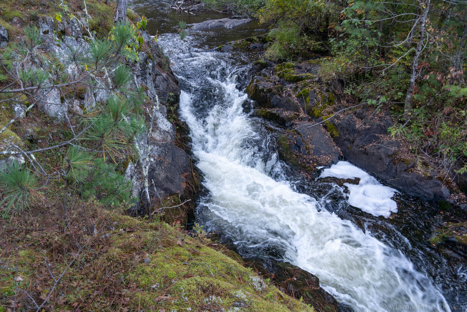
Photo
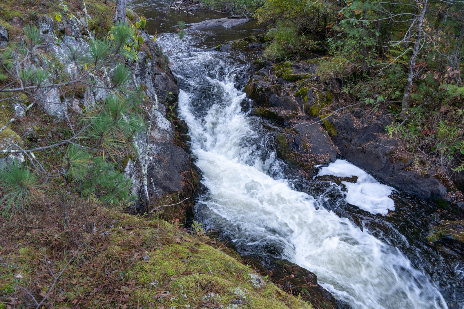
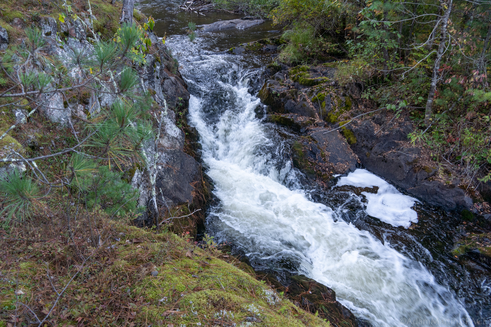
Photo courtesy of American Whitewater
Description
After you pass under a railroad trestle, the river bends right (south) and head into Dave's Falls County Park. A large rock outcropping (small island) splits the flow. The left side is more gradual, but (at most flows) grungy. The right has a couple small 'set-up waves', then plunges about 4' into a pool. The hole at the base can be quite 'keepy' at good flows.
The river bends left (east) after the pool, and heads under a footbridge with a sweet little wave under it. A brief pool precedes the main drop of Dave's Falls. Most boaters will take out before dropping down this steep rather violent-looking chute.
Location
Interactive river map
Loads as you approach this section.
View Full Run
B) LSB Pike: Mathias Lake Road to Dave's Falls
Pike, South Branch
II-IV
4.9 mi
Current Conditions
5-Day Forecast
Whitewater data from
American Whitewater
American Whitewater