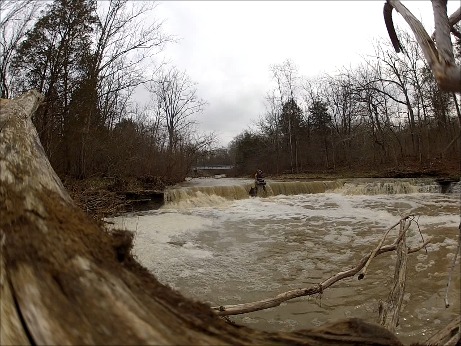
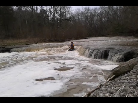
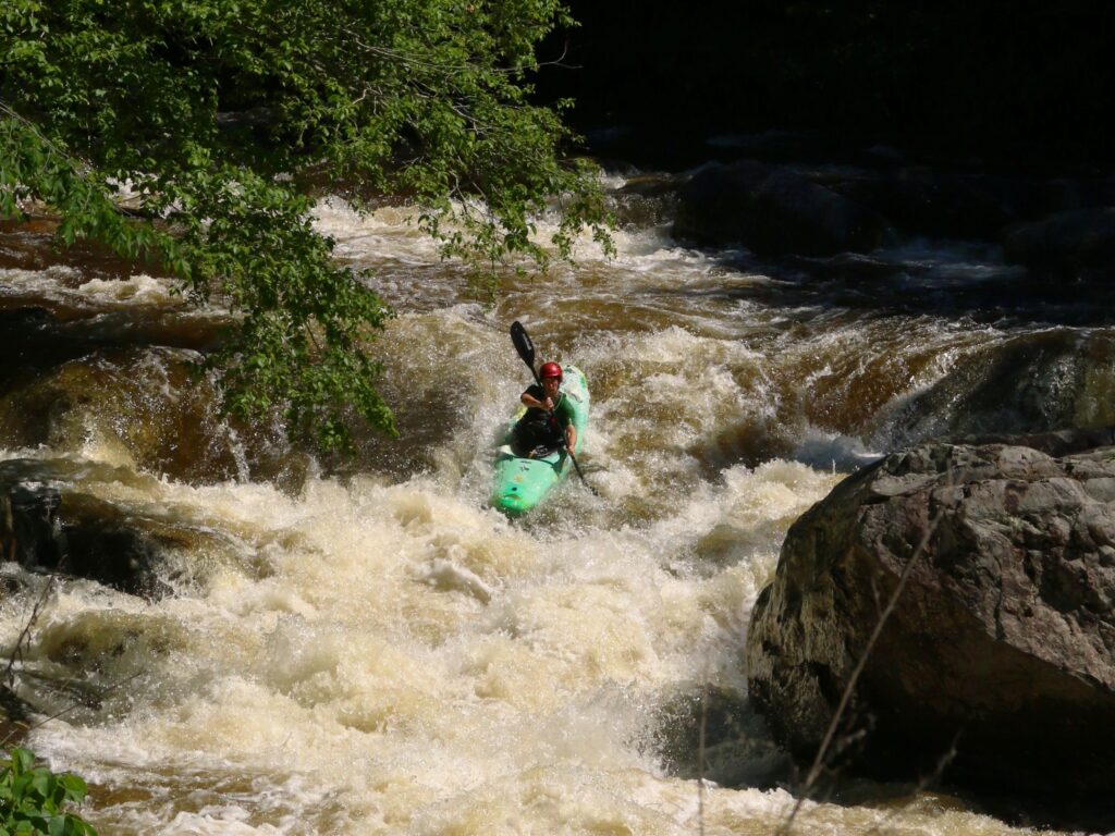
Rapid
OH
Drainage areas:
Save this feature with the run it belongs to.
Gauge Conditions
Runnable: ? – ? CFS
Approximate - nearest available gauge. Use as general reference only.
Data from American Whitewater & USGS
Description
Drainage at our listed put-in (as calculated by USGS StreamStats 4.0 Beta software) is about 17.2 square miles. At the confluence with Todd Fork, it has increased to 20 square miles. After that confluence, Todd Fork has drainage area of 239 square miles. (You may have two rather different experiences, as flow from here down is likely nearly ten-times flow in the creek!) At the listed take-out, Todd Fork has 262 square mile drainage.
Location
Interactive river map
Loads as you approach this section.


View Full Run
State Rte. 132 to Confluence with Todd's Fork
Second Creek
II-III
6.3 mi
Current Conditions
5-Day Forecast
Whitewater data from
American Whitewater
American Whitewater