Rapid
OH
Roachester Cozaddale Road
Save this feature with the run it belongs to.
Gauge Conditions
Runnable: ? – ? CFS
Approximate - nearest available gauge. Use as general reference only.
Data from American Whitewater & USGS
Photo
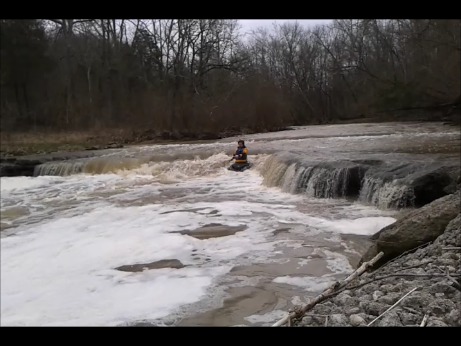
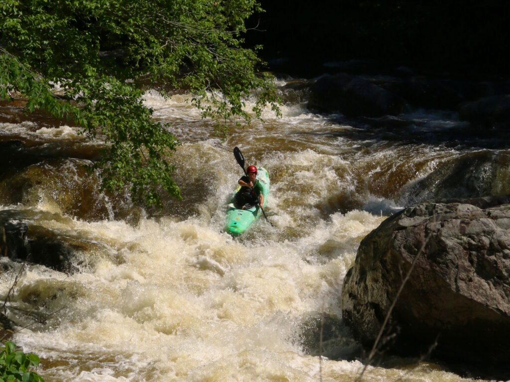
Photo courtesy of American Whitewater
Description
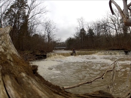
A fine ledge lies just upstream of this bridge, and another decent drop lies just downstream of it ... meaning this would e a great location to scout and verify flows for the creek as you are setting shuttle!
Location
Interactive river map
Loads as you approach this section.
View Full Run
State Rte. 132 to Confluence with Todd's Fork
Second Creek
II-III
6.3 mi
Current Conditions
5-Day Forecast
Whitewater data from
American Whitewater
American Whitewater