Rapid
WI
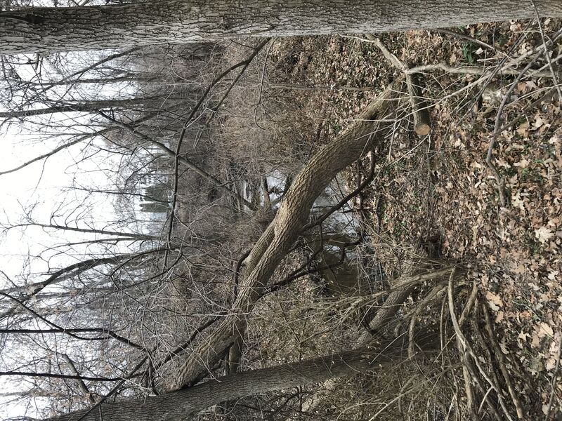
End 2017 'remediated' area, begin 2025 'remediated' area.
Save this feature with the run it belongs to.
Gauge Conditions
Runnable: 400.0 – 999.0 CFS
Almost certainly too low to boat.
Data from American Whitewater & USGS
Description
The 2017 project ended at this point, and the 2025 project begins here, running to the next road bridge.
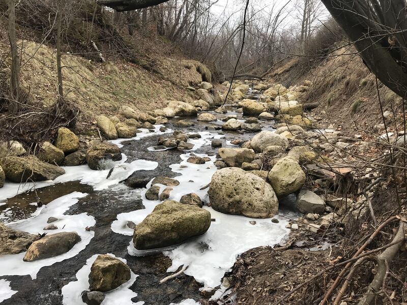
We expect this will result in this stretch being filled with large boulders (to reduce erosion).
This section should be walked to thoroughly scout the status of this project area (to see what twists and turns remain, and whether wood may have come down and hung up here) before putting on upstream in any watercraft!
Location
Interactive river map
Loads as you approach this section.
Other Rapids on This Run (10)
 Waterfall
N/A
Waterfall
N/A
Sunset Road (CTH.CC)
 Rapid
N/A
Rapid
N/A
S.Park Street
Rapid
N/A
Drainage Area: 1.4-2.8 square miles
 Rapid
N/A
Rapid
N/A
Put In: S.Ravine Street
 Waterfall
II
Waterfall
II
Opening stretch
Rapid
N/A
Left Twist
Rapid
II+
Oakland Avenue (old post-pile)
Rapid
N/A
S.Division Street Jump
Rapid
N/A
Take Out: Milwaukee Avenue
 Hazard
N/A
Hazard
N/A
No Good Choices!
View Full Run
S.Ravine St. to S.Milwaukee St. (0.5 mile)
Mineral Springs Creek
II+
0.5 mi
Current Conditions
5-Day Forecast
Whitewater data from
American Whitewater
American Whitewater