Opening stretch
Save this feature with the run it belongs to.
Gauge Conditions
Almost certainly too low to boat.
Photo
Description
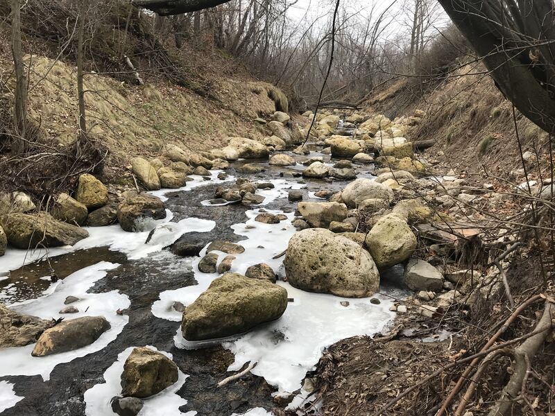
A 5' dam at this location was removed winter/early-spring 2017. Stream banks were sloped back and denuded to facilitate that work. To reduce erosion, large boulders line the bed and banks.
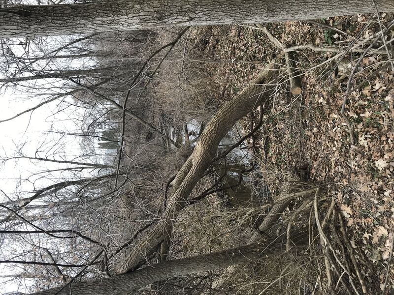
Downstream, the creek narrowed, and had long held a myriad of snags and sweepers, twists and turns. However, a project (November 2025 - March 2026) with goals of:
"addressing severe erosion, habitat degradation, and infrastructure vulnerability" "may include re-grading the stream channel, stabilizing eroding banks, and implementing native vegetation plantings", "outcomes include reduced sedimentation, improved stormwater management, enhanced fish passage, and increased habitat quality for native fish, birds, and wildlife".
Numerous areas of woody debris have been removed, making this tiny creek the most potentially runnable I've seen it in 25+ years!
Location
Other Rapids on This Run (10)
 Waterfall
N/A
Waterfall
N/A
 Rapid
N/A
Rapid
N/A
 Rapid
N/A
Rapid
N/A
 Hazard
N/A
Hazard
N/A
Current Conditions
5-Day Forecast
American Whitewater