Waterfall
WI
Sunset Road (CTH.CC)
Save this feature with the run it belongs to.
Gauge Conditions
Runnable: 400.0 – 999.0 CFS
Almost certainly too low to boat.
Data from American Whitewater & USGS
Photo
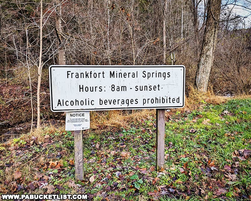
Photo courtesy of American Whitewater
Description
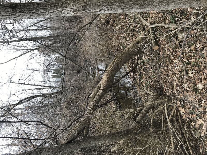
To add some length to this really short run, the creek could be theoretically boatable between Sunset Road (CTH.CC) and S.Ravine Street ... were it not for the fact that the banks are significantly wooded and are subject to erosion. There is so much deadfall blocking numerous locations that only a glutton for punishment would ever try!
Location
Interactive river map
Loads as you approach this section.
Other Rapids on This Run (10)
 Rapid
N/A
Rapid
N/A
S.Park Street
Rapid
N/A
Drainage Area: 1.4-2.8 square miles
 Rapid
N/A
Rapid
N/A
Put In: S.Ravine Street
 Waterfall
II
Waterfall
II
Opening stretch
Rapid
N/A
End 2017 'remediated' area, begin 2025 'remediated' area.
Rapid
N/A
Left Twist
Rapid
II+
Oakland Avenue (old post-pile)
Rapid
N/A
S.Division Street Jump
Rapid
N/A
Take Out: Milwaukee Avenue
 Hazard
N/A
Hazard
N/A
No Good Choices!
View Full Run
S.Ravine St. to S.Milwaukee St. (0.5 mile)
Mineral Springs Creek
II+
0.5 mi
Current Conditions
5-Day Forecast
Whitewater data from
American Whitewater
American Whitewater