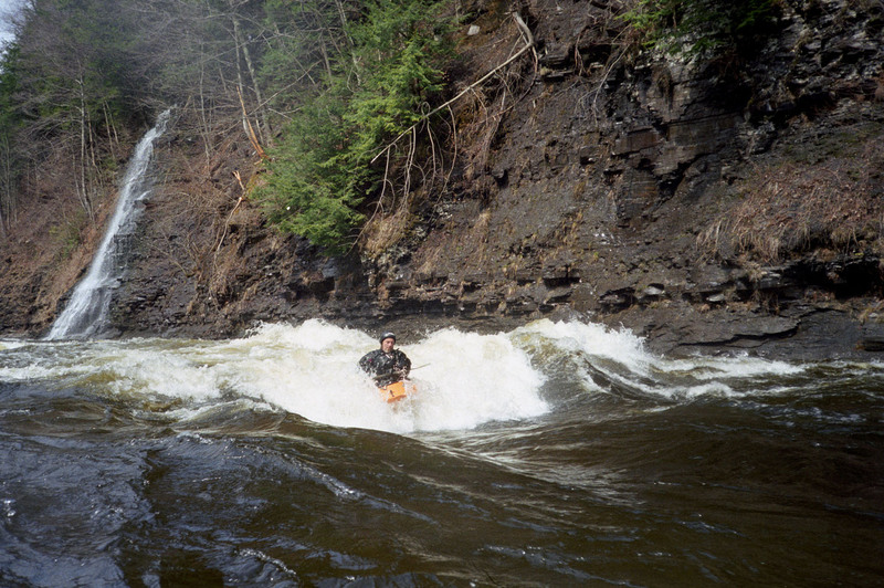
Fall Brook Falls
Save this feature with the run it belongs to.
Gauge Conditions
Runnable: 1,000.0 – 6,000.0 CFS
Min and max ranges are an educated guess.
Data from American Whitewater & USGS
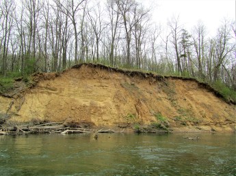
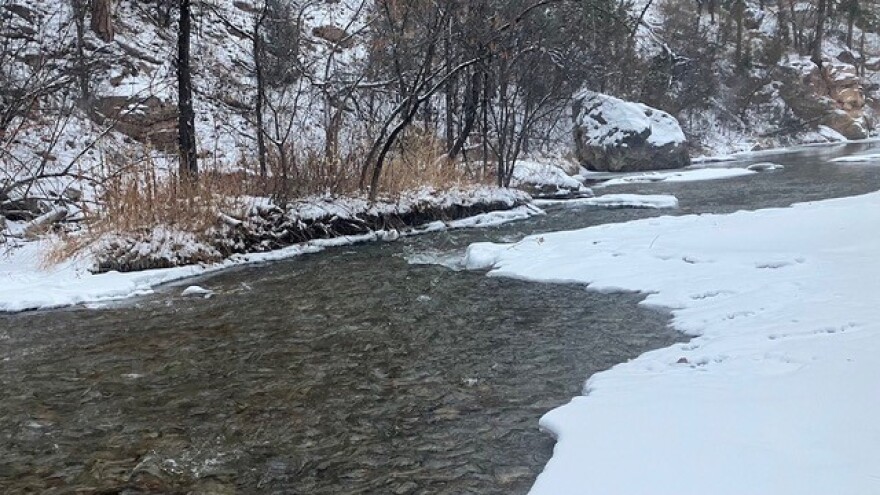
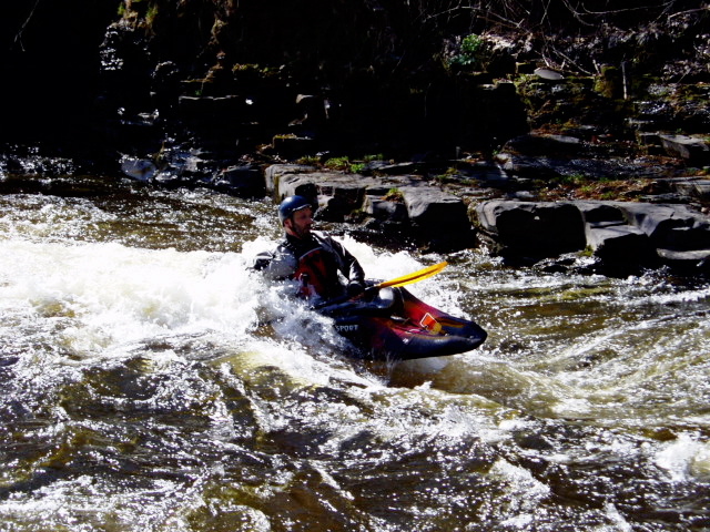
Photo

Photo courtesy of American Whitewater
Description
This is a beautiful waterfall on the tributary, river right, just before the confluence with the East Branch Fish. We have no indication that this has ever been run, but some paddlers have the opinion that it's runnable.
Location

View Full Run
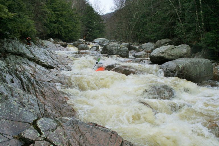
Point Rock to Taberg
Fish Creek, E. Branch
II-IV
9.3 mi
Hazard — Exercise extreme caution in this area.
Current Conditions
5-Day Forecast
Whitewater data from
American Whitewater
American Whitewater