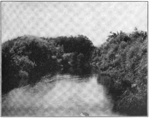
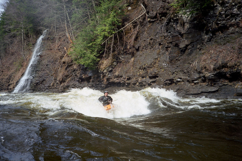
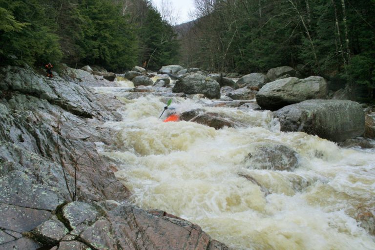
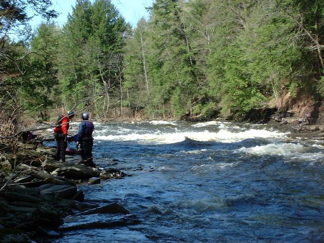
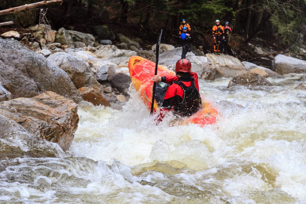
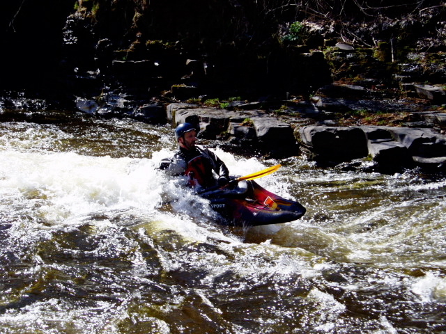
The Narrows
Save this feature with the run it belongs to.
Gauge Conditions
Runnable: 1,000.0 – 6,000.0 CFS
Min and max ranges are an educated guess.
Data from American Whitewater & USGS
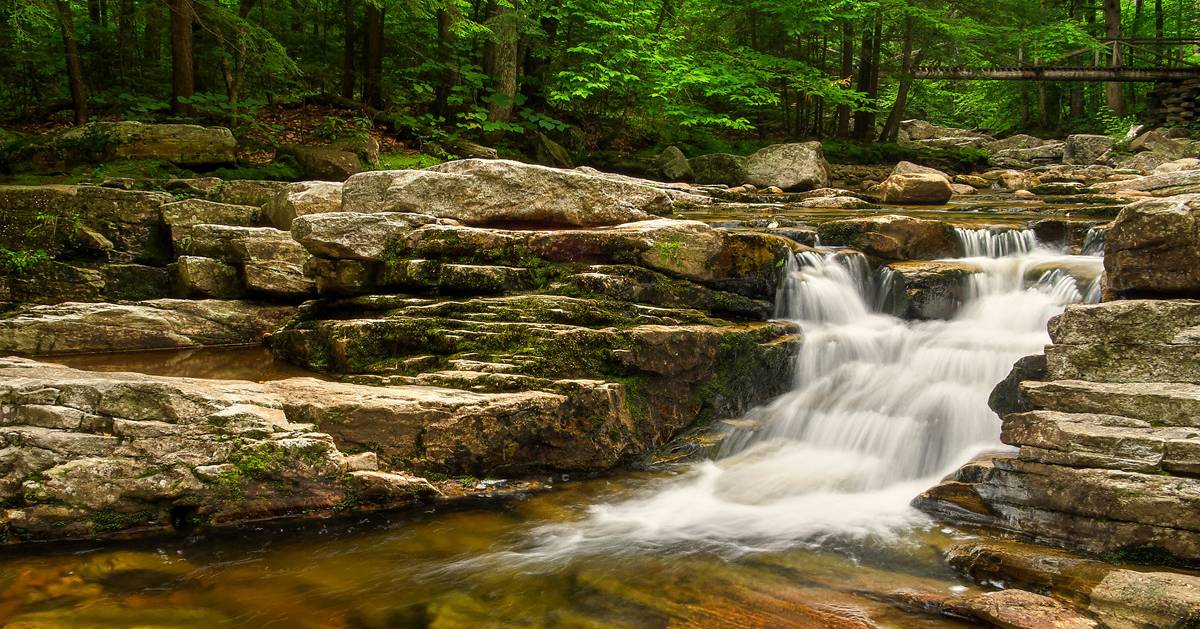
Photo
Photo courtesy of American Whitewater
Description
Not a hard rapid; it has some phenomenal surfing holes/waves at the end.
Location
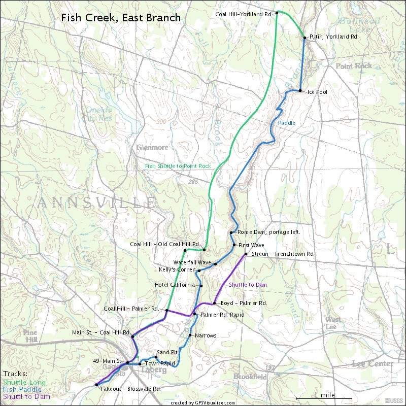

View Full Run
Point Rock to Taberg
Fish Creek, E. Branch
II-IV
9.3 mi
Current Conditions
5-Day Forecast
Whitewater data from
American Whitewater
American Whitewater