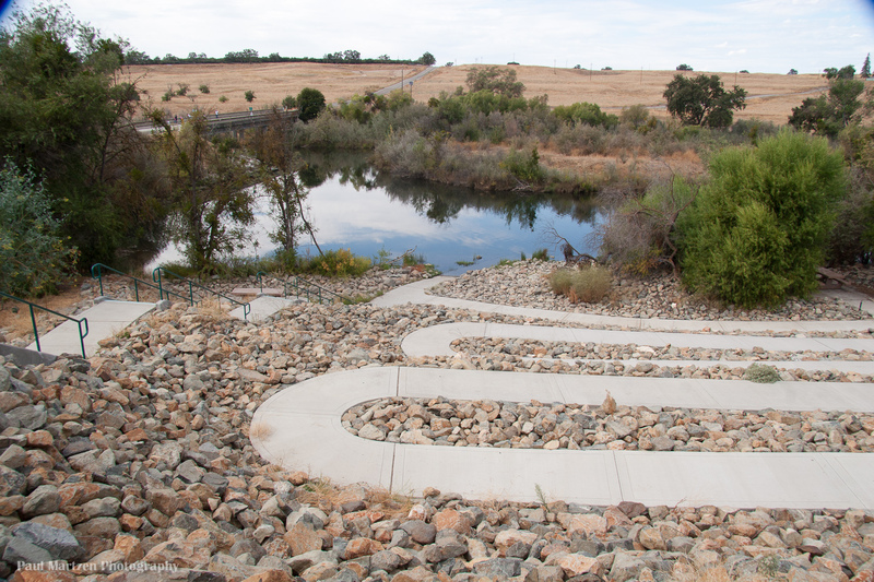
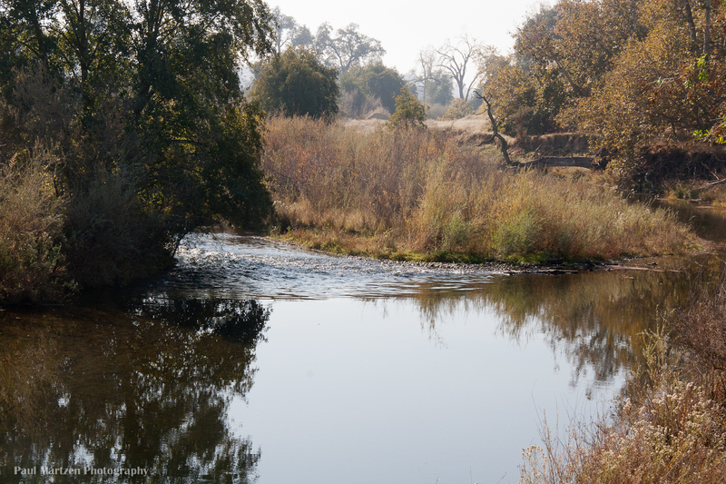
Friant Cove
Save this feature with the run it belongs to.
Gauge Conditions
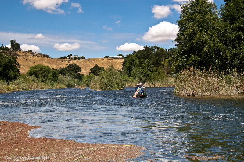
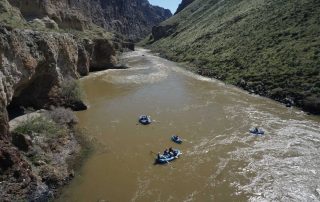
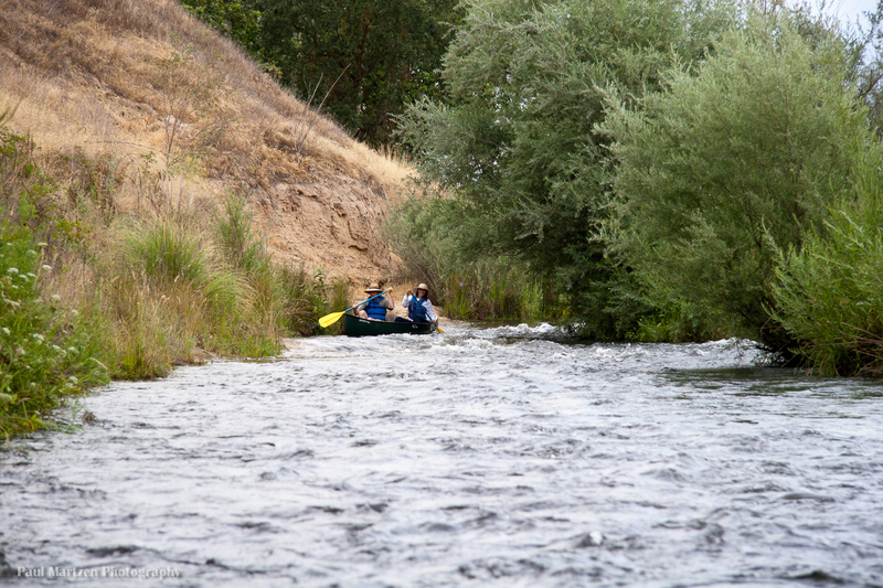
Good for canoes and beginners.
CDEC Flow Data California
Photo
Description
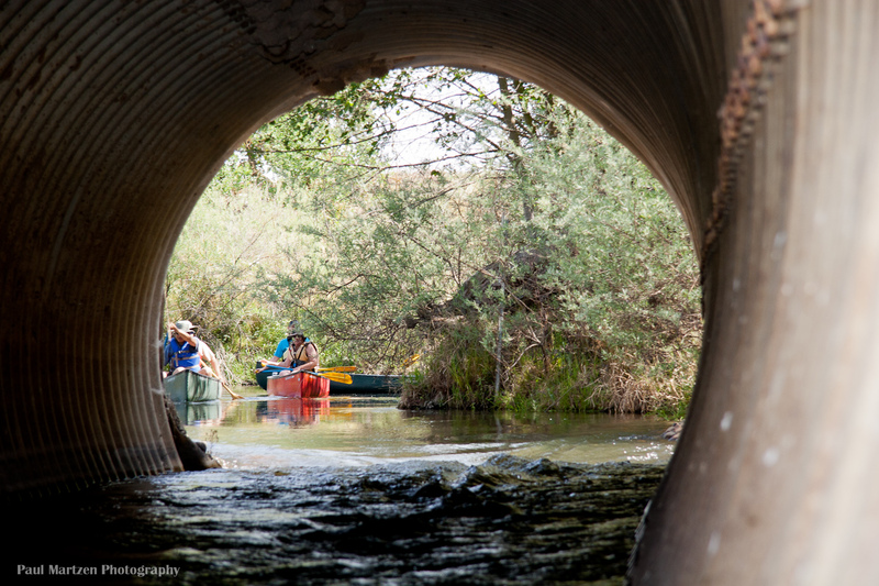
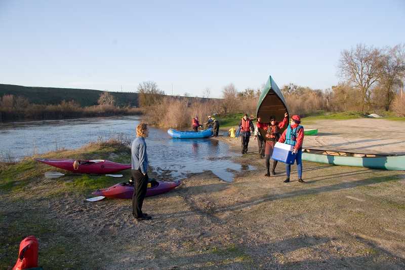
There is a launching area on the upstream, east side of the bridge in Friant. In 2007, the lower parking area was eliminated and replaced with stairs and a winding access ramp. A paved parking area was constructed up above, next to the highway. The parking area is gated at night, but there is an empty lot on the other side of road where you can also leave a car.
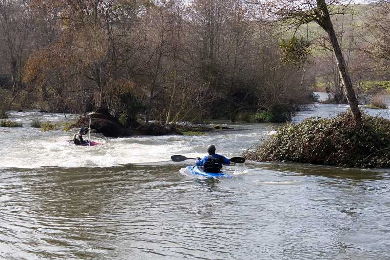
Boaters can paddle upstream towards the dam and explore this interesting area. A small rapid/cascade marks the turn around point a safe distance below the dam.
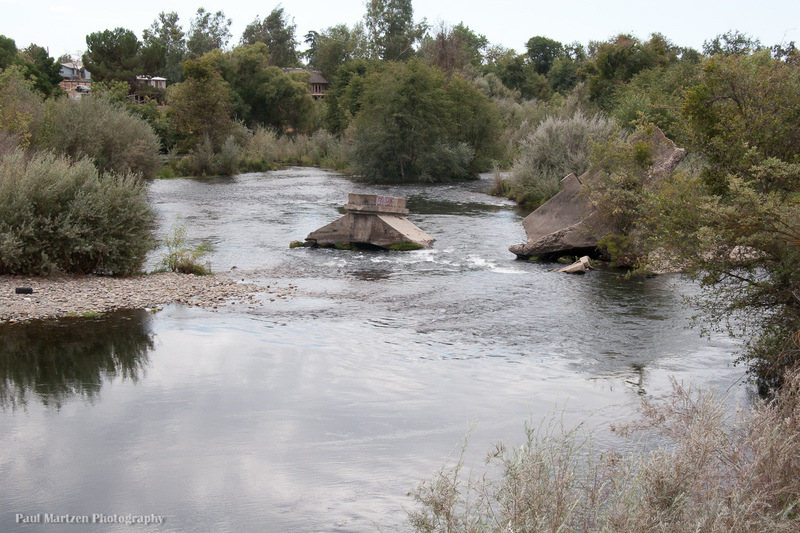
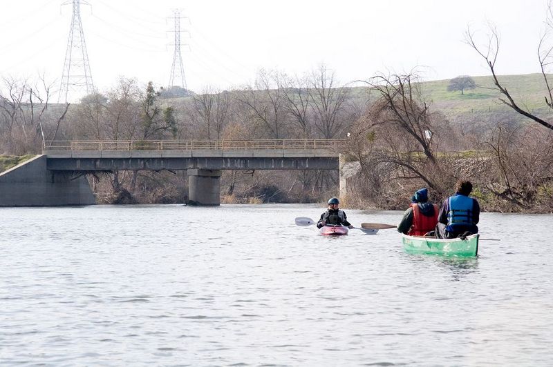
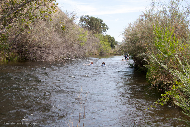
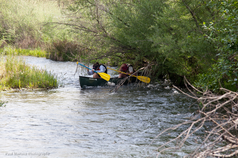
Boaters can also proceed downstream towards Lost Lake, but need to beware of the difficulties immediately downstream. As soon as you round the corner and pass under the bridge, an old Broken Bridge presents several obstacles directly in your way. The water turbulence here can easily flip unskilled boaters.
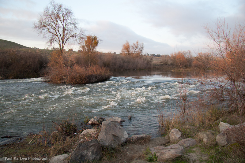
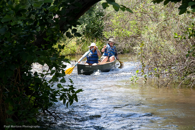
Immediately past the Broken Bridge, a grove of trees spreads across the entire river, with only two clear, but narrow channels through. At low flows the current feeds debendably into these channels, but careful manuvering is required. At high flows the current flushes straight through the grove and good paddling skills are required to find a safe route.
Location
Other Rapids on This Run (20)
 Hazard
I
Hazard
I
 Playspot
I
Playspot
I
 Playspot
II
Playspot
II
 Rapid
I
Rapid
I
 Rapid
I
Rapid
I
 Rapid
I
Rapid
I
 Rapid
N/A
Rapid
N/A
 Hazard
I
Hazard
I
 Rapid
I
Rapid
I
 Hazard
I
Hazard
I
 Hazard
I
Hazard
I
 Rapid
I
Rapid
I
 Rapid
I
Rapid
I
 Rapid
N/A
Rapid
N/A
 Rapid
I
Rapid
I
Current Conditions
5-Day Forecast
American Whitewater