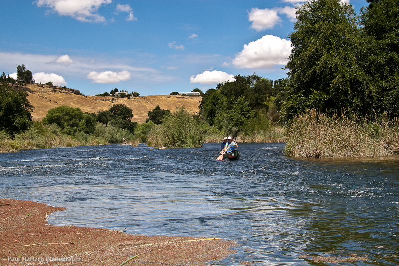
Ledger Island Riffle (Beaver Riffle)
Save this feature with the run it belongs to.
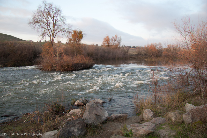
Gauge Conditions
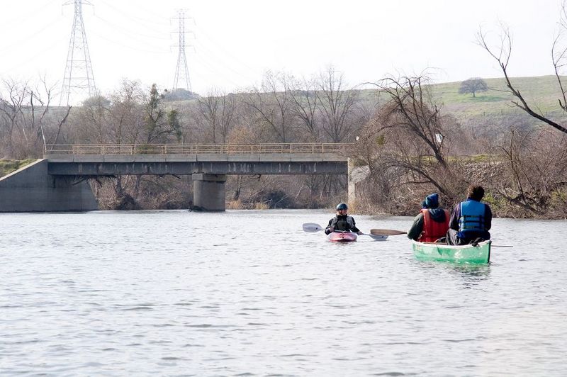
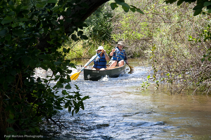
Good for canoes and beginners.
CDEC Flow Data California
Photo
Description
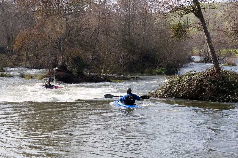
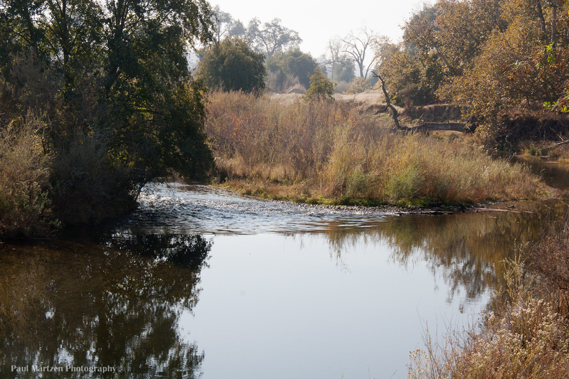
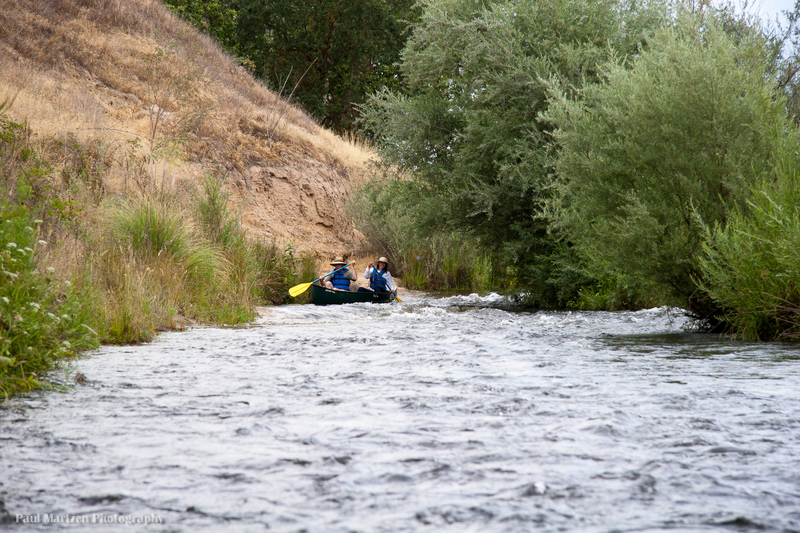
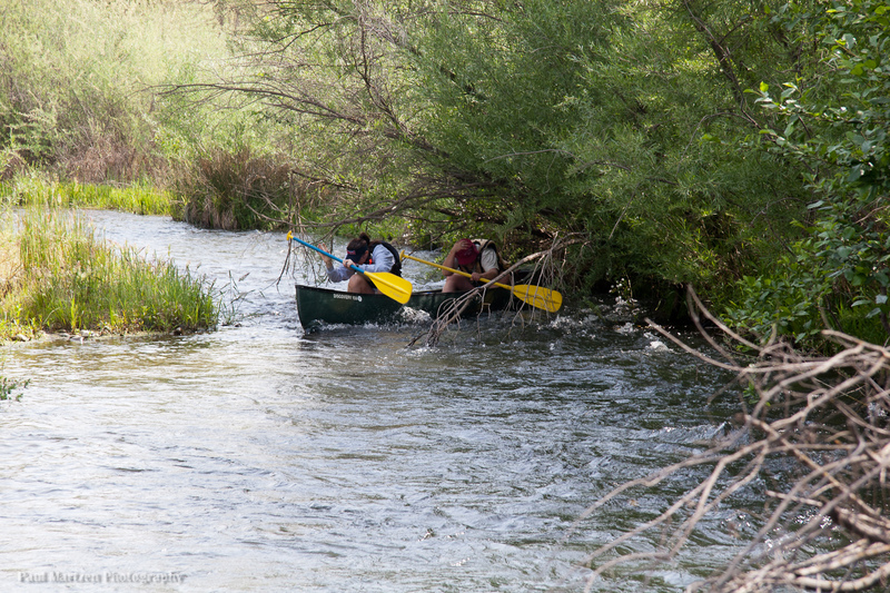
After a long flat straight section, the river comes to the head of Ledger Island and makes a sharp bend to the left. The river drops down a wide, shallow, but long riffle. On the sides at the top of the riffle look for the handiwork of beavers trying to dam the river.
At low flows the deepest water has been on the far river left, but this can change from year to year.. Pass to the left of two very small bushy islands then cut back out to the right of a third very small bushy island.
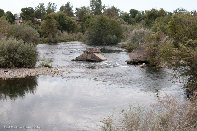
Indian grinding holes can be seen in the top of the boulder on river right at the bottom.
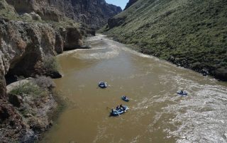
During high flood releases above 5,000 cfs, part of the river above the rapid, flows to the right into a large expance of gravel pits and flood plains in the center of Ledger Island. This flow rejoins the main channel a few hundred yards below the concrete bridge.
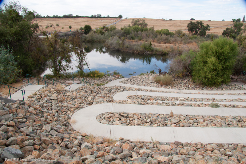
Location
Other Rapids on This Run (20)
 Rapid
N/A
Rapid
N/A
 Hazard
I
Hazard
I
 Playspot
I
Playspot
I
 Playspot
II
Playspot
II
 Rapid
I
Rapid
I
 Rapid
I
Rapid
I
 Rapid
N/A
Rapid
N/A
 Hazard
I
Hazard
I
 Rapid
I
Rapid
I
 Hazard
I
Hazard
I
 Hazard
I
Hazard
I
 Rapid
I
Rapid
I
 Rapid
I
Rapid
I
 Rapid
N/A
Rapid
N/A
 Rapid
I
Rapid
I
Current Conditions
5-Day Forecast
American Whitewater