Take-out
CA
Ft Washington Beach
Save this feature with the run it belongs to.
Gauge Conditions
Runnable: 150.0 – 15,000.0 CFS
Good for canoes and beginners.
Data from American Whitewater & USGS
CDEC Flow Data California
Data from California Data Exchange Center (CDEC)
Photo
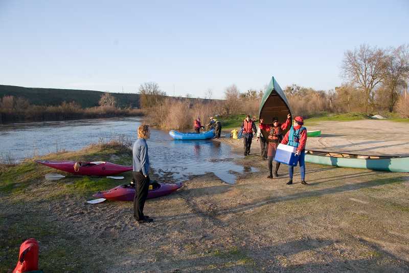
Photo courtesy of American Whitewater
Description
Ft Washington was a privately owned camping, fishing and river access park. After the death of the owner, the property was mismanaged and eventually closed. Since 2021, there is no longer public access available here.
Location
Interactive river map
Loads as you approach this section.
Other Rapids on This Run (20)
 Rapid
N/A
Rapid
N/A
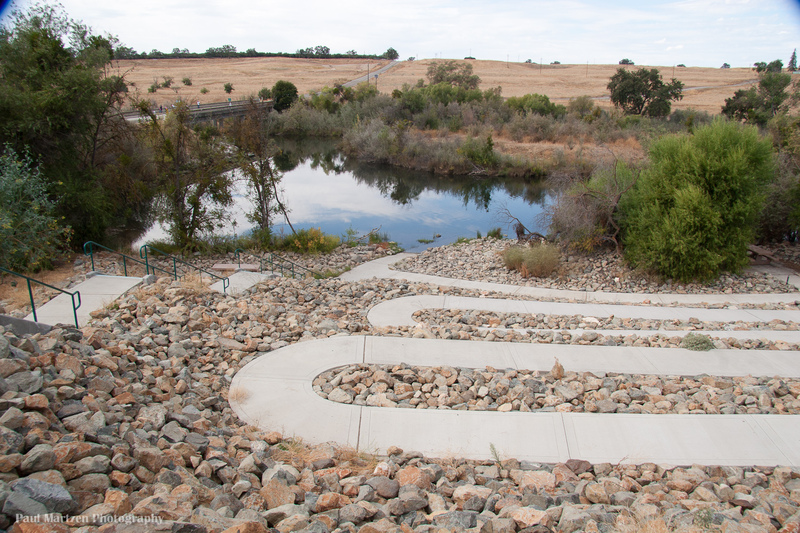
Friant Cove
 Hazard
I
Hazard
I
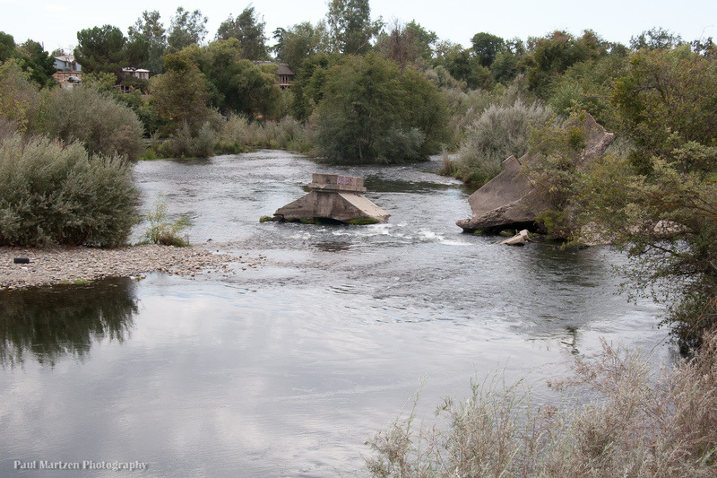
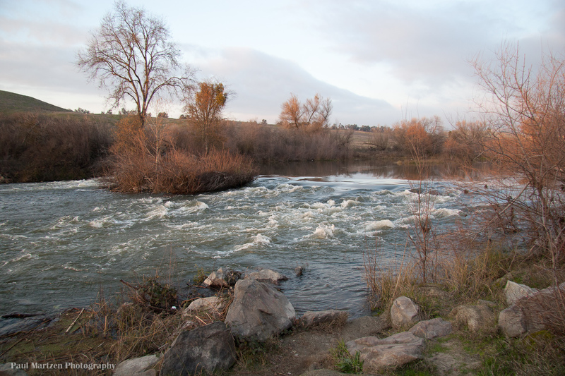
Broken Bridge
 Playspot
I
Playspot
I
Lost Lake: 1st rapid
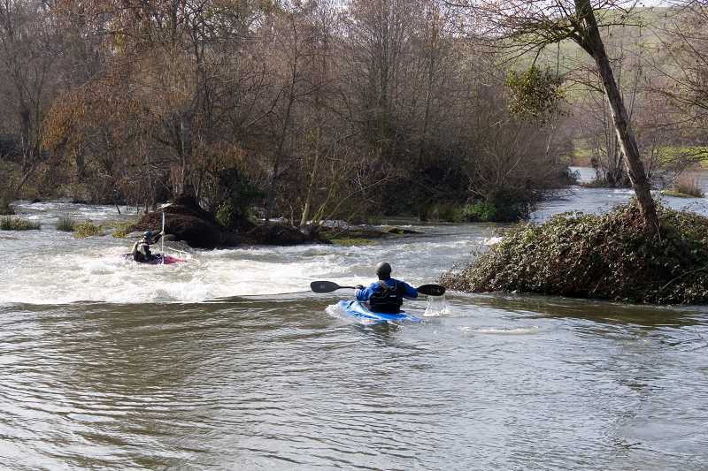 Playspot
II
Playspot
II
Lost Lake: Middle Falls
Rapid
I
Lost Lake: Long Riffle
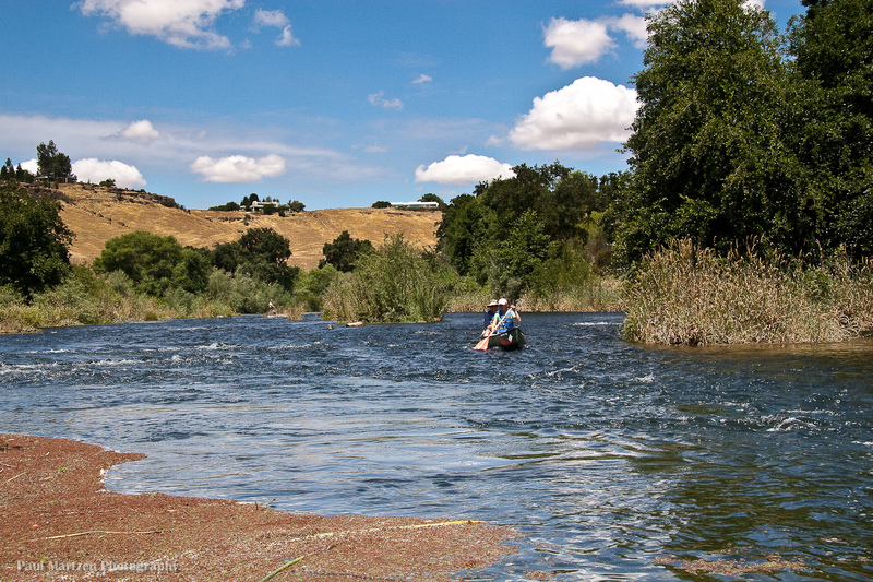 Rapid
I
Rapid
I
Ledger Island Riffle (Beaver Riffle)
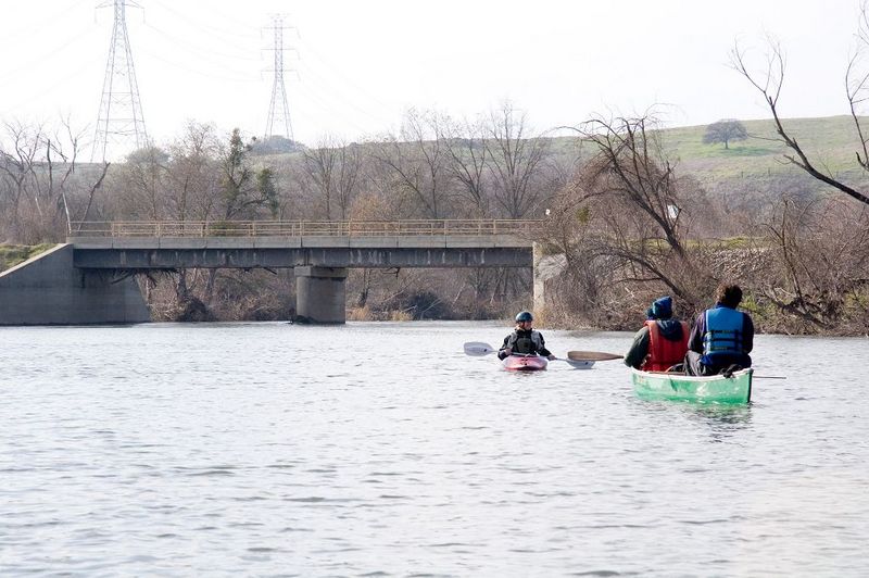 Rapid
I
Rapid
I
Concrete Bridge Riffle
Rapid
I
Shady Riffle
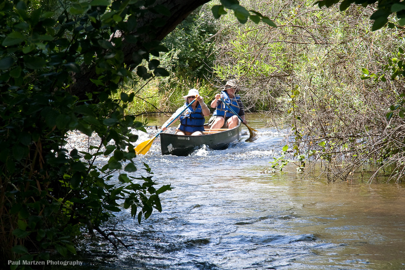 Rapid
I
Rapid
I
Cobb Channel Diversion
Rapid
N/A
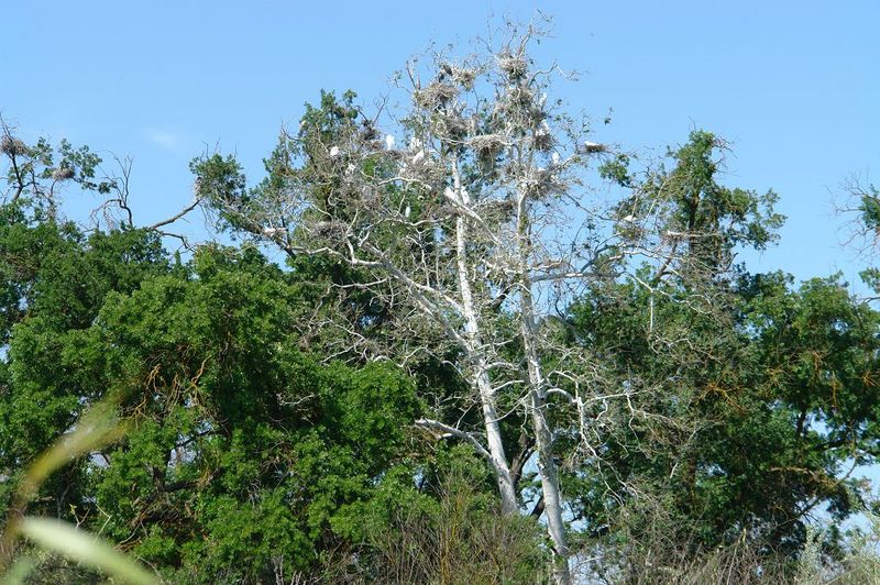
Mansion
 Rapid
N/A
Rapid
N/A
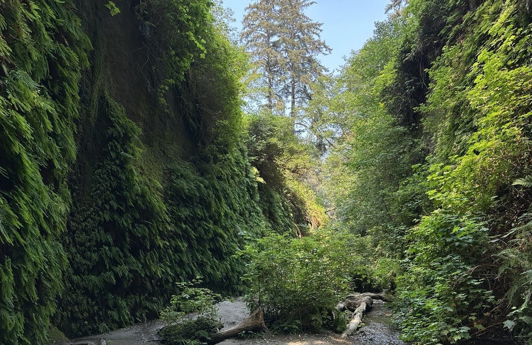
Heron and Egret Rookery
 Hazard
I
Hazard
I
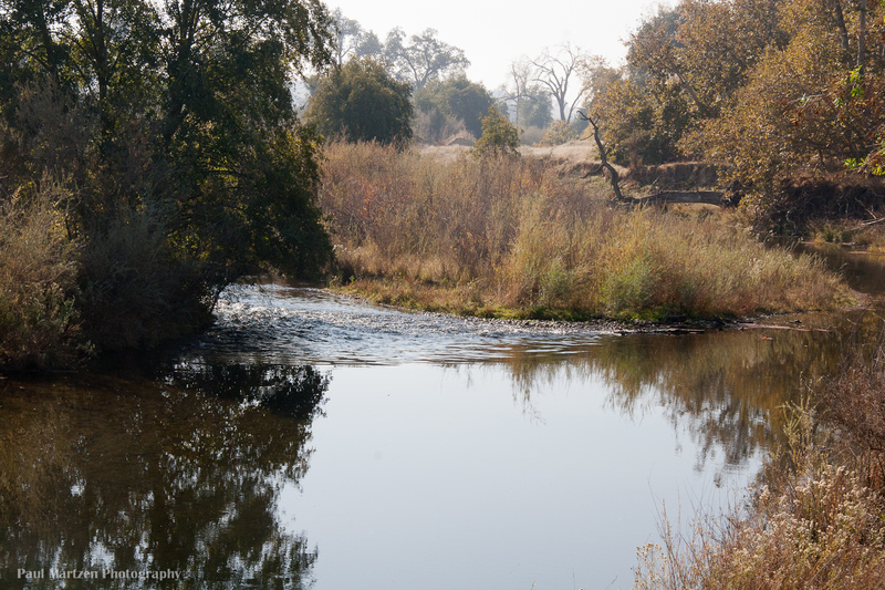
Rookery Riffle
 Rapid
I
Rapid
I
Upper Owl Hollow Riffle
Rapid
N/A
Owl Hollow
 Hazard
I
Hazard
I
Lower Owl Hollow Riffle
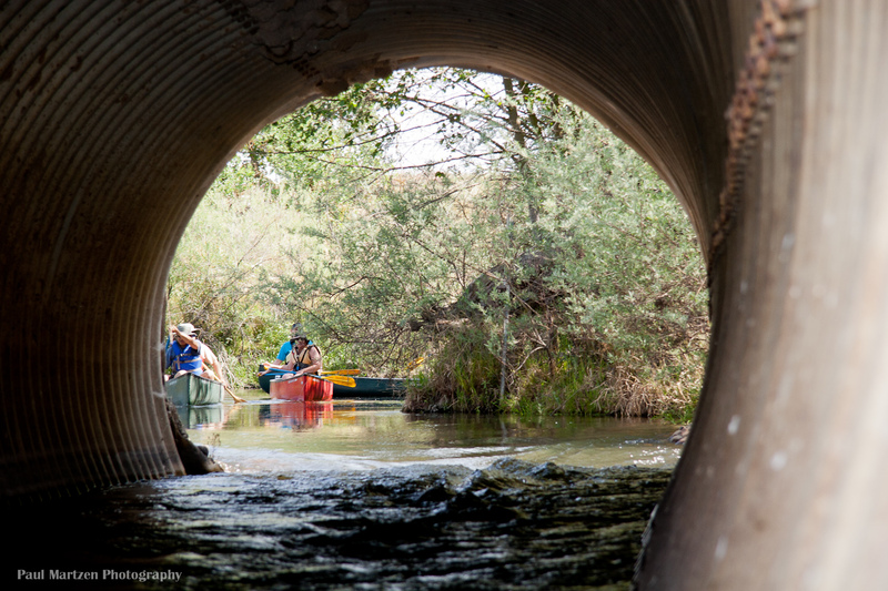 Hazard
I
Hazard
I
Causeway Culvert
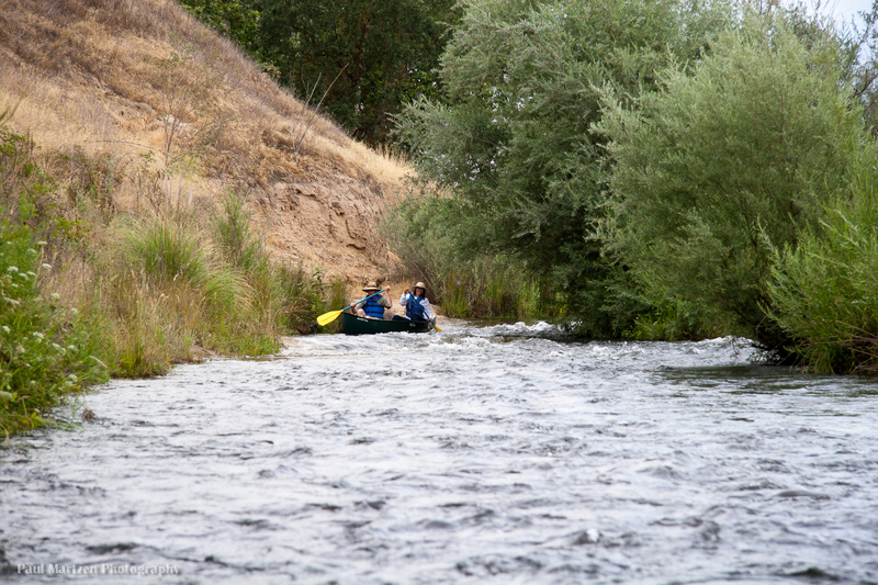 Rapid
I
Rapid
I
Rock and Roll
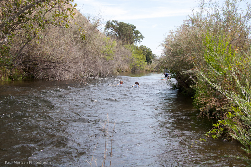 Rapid
I
Rapid
I
Swimmers Riffle
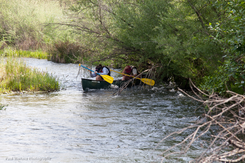 Rapid
I
Rapid
I
Wildwood Riffles
Rapid
I
Wildwood River Access
View Full Run
Friant Dam to Mendota Pool Dam
San Joaquin
I
61.6 mi
Current Conditions
5-Day Forecast
Whitewater data from
American Whitewater
American Whitewater