Gile Falls
Save this feature with the run it belongs to.
Gauge Conditions
Runnable: ? – ? CFS
Approximate - nearest available gauge. Use as general reference only.
Data from American Whitewater & USGS
Photo
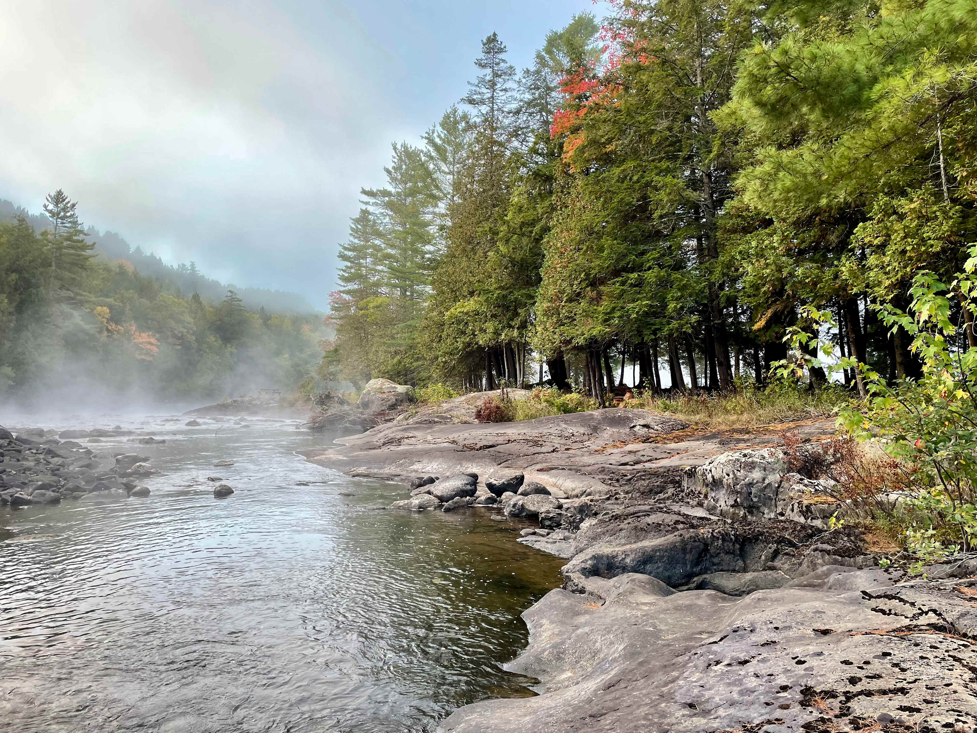
Photo courtesy of American Whitewater
Description
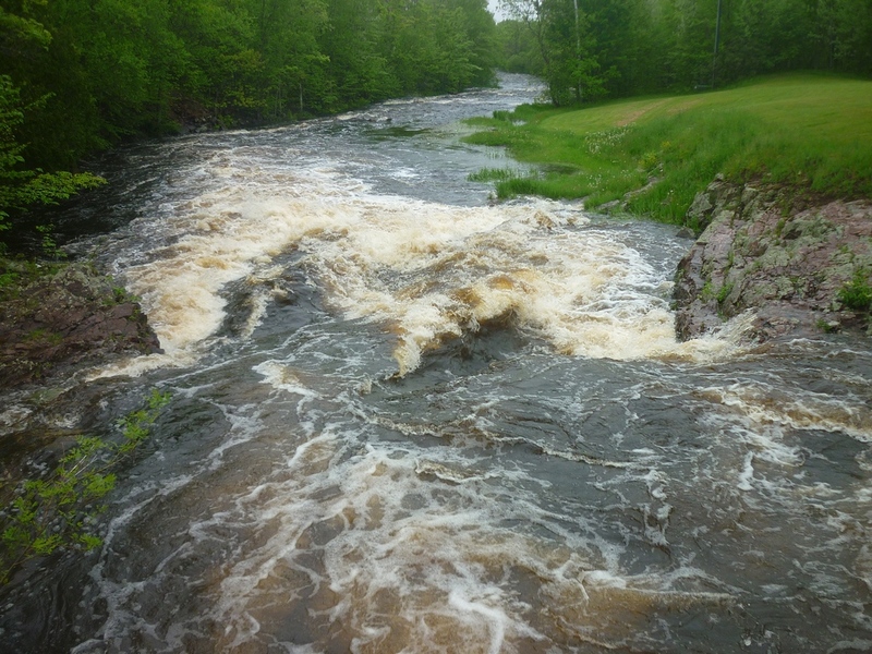
Gile Falls (at/near the put in) is a scenic area where the river is squeezed between rock walls to plunge over a short falls. At most boatable flows you will be best advised to avoid the reversal that forms here by skirting as far left as possible. Just downstream, the river is diverted 90-degrees left through a vertical walls of rock.
Location
Interactive river map
Loads as you approach this section.
View Full Run
B) Gile Falls to Hwy.2 (6.3 miles)
Montreal, W.Fk.
II-IV
6.1 mi
Current Conditions
5-Day Forecast
Whitewater data from
American Whitewater
American Whitewater