Zig-Zag
Save this feature with the run it belongs to.
Gauge Conditions
Runnable: ? – ? CFS
Approximate - nearest available gauge. Use as general reference only.
Data from American Whitewater & USGS
Description
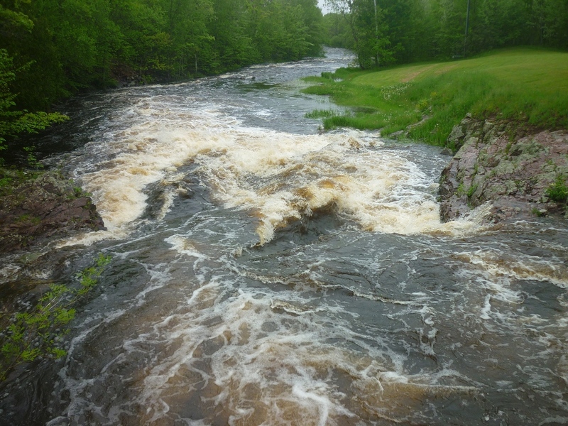
As the river takes a sweeping right-hand bend, it encounters a few good bedrock intrusions (ledges). At some flows, there will be keepy-looking holes, but there are sneak-routes available.
Location
Interactive river map
Loads as you approach this section.
View Full Run
B) Gile Falls to Hwy.2 (6.3 miles)
Montreal, W.Fk.
II-IV
6.1 mi
Current Conditions
5-Day Forecast
Whitewater data from
American Whitewater
American Whitewater