How's Your
River
×
Explore
Explore Map
Water Bodies
Gauges
Access Sites
Tidal Stations
Whitewater
Pricing
Login
Sign Up
Hazard Warning:
Hazard information may be user-submitted and unverified. Conditions change frequently. Always scout rapids and obstacles yourself.
Whitewater
Oregon
John Day, N. Fork - 1. Route 52 Bridge to Dale
Granite Creek Falls
Rapid
OR
Class V
Granite Creek Falls
John Day, N. Fork - 1. Route 52 Bridge to Dale (OR)
Monitor this Rapid
Water Body
This Run
Map
Other Rapids
Gauge
Weather
Directions
Gauge Conditions
North Fork John Day River at Monument, OR
Downstream
Primary
Runnable: 900.0 – 3,000.0 CFS
Data from
American Whitewater
&
USGS
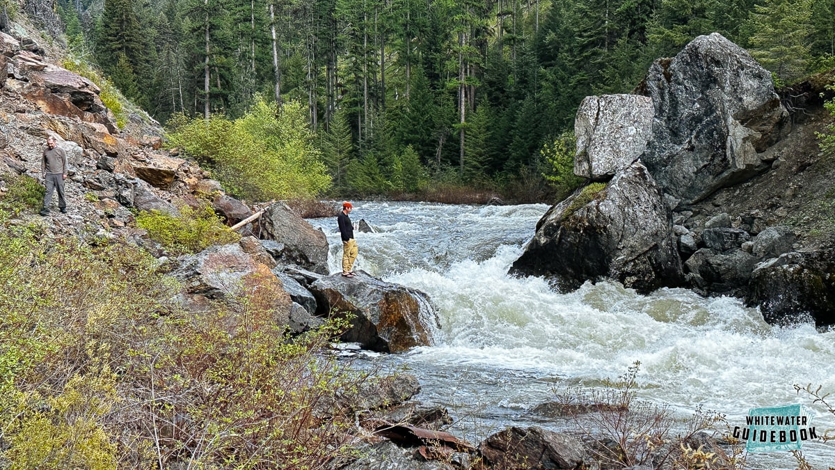
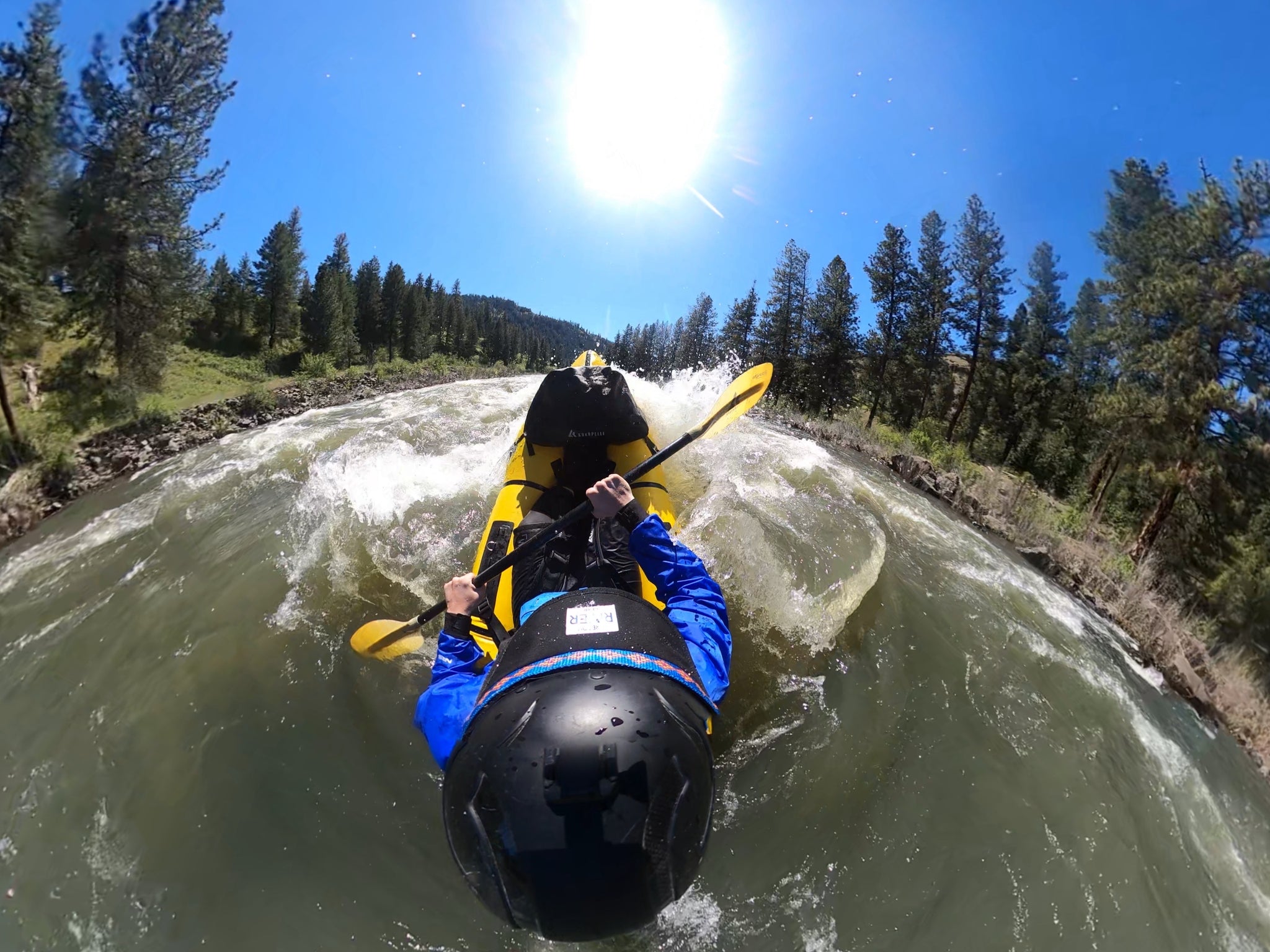
Photo
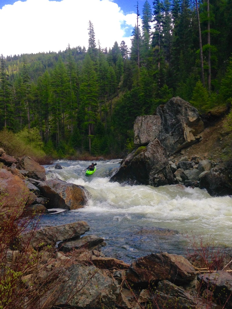
Photo courtesy of
American Whitewater
Location
Radar
Counties
Cell
Verizon
AT&T
T-Mobile
Dark
Satellite
Terrain
Other Rapids on This Run (6)
Rapid
N/A
Put In, Route 52 Bridge, North Fork John Day Campground
0.0 mi
Rapid
N/A
Granite Creek Trailhead
0.0 mi
Rapid
N/A
Granite Creek Pack Bridge
13.8 mi
Rapid
N/A
Oriental Campground
28.2 mi
Rapid
N/A
Tollbridge Campground
40.8 mi
Rapid
N/A
Take Out
43.5 mi
Type
Rapid
Difficulty
Class V
Mile Marker
14.0 mi
Directions
Navigate
View Full Run
1. Route 52 Bridge to Dale
John Day, N. Fork
II-IV(V)
43.0 mi
Current Conditions
5-Day Forecast
Whitewater data from
American Whitewater
Granite Creek Falls