Rapid
OR
Tollbridge Campground
Save this feature with the run it belongs to.
Gauge Conditions
Data from American Whitewater & USGS
Photo
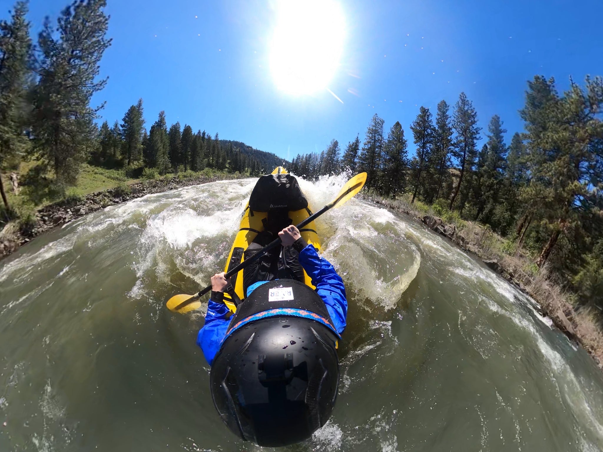
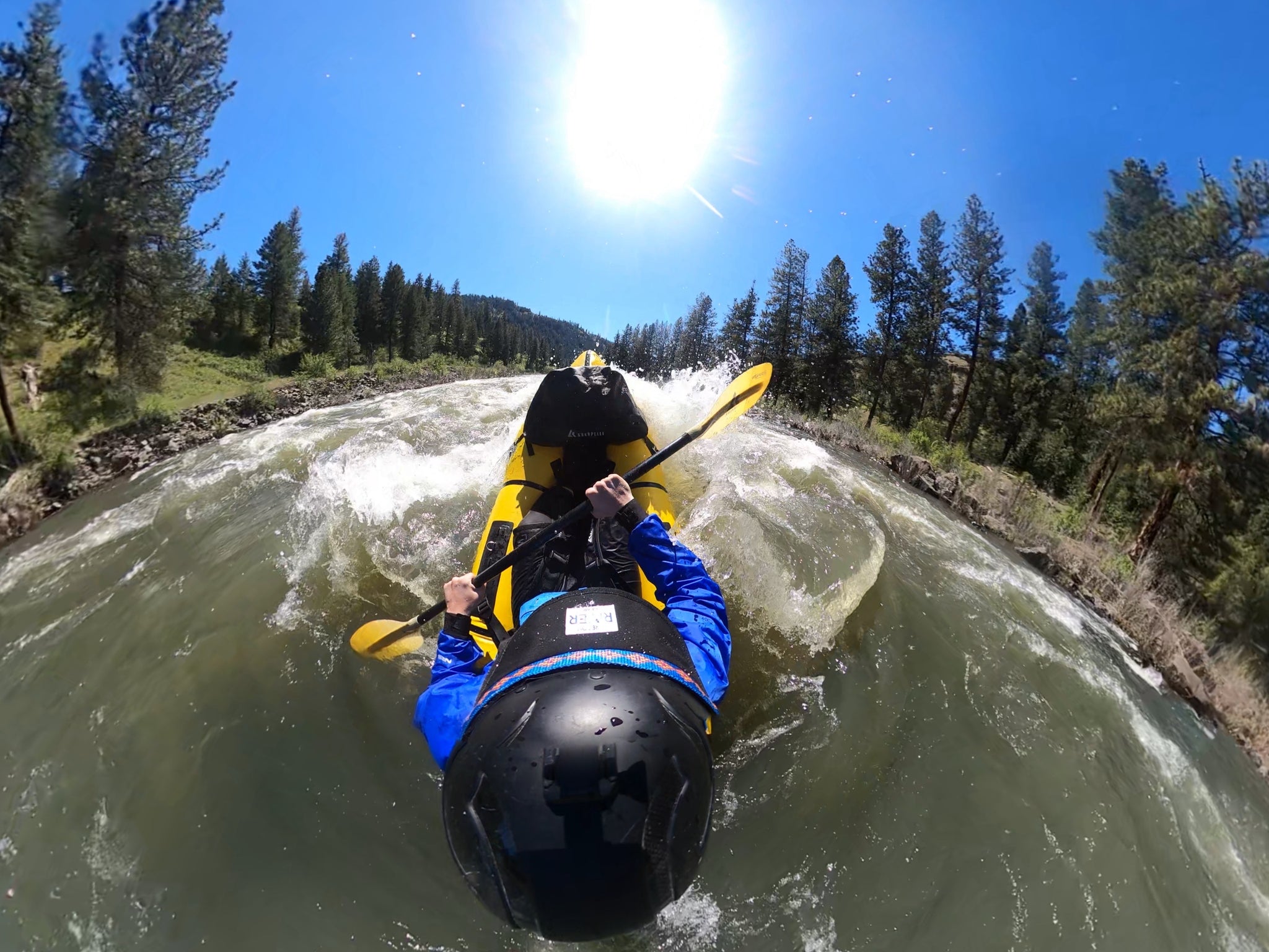
Photo courtesy of American Whitewater
Description
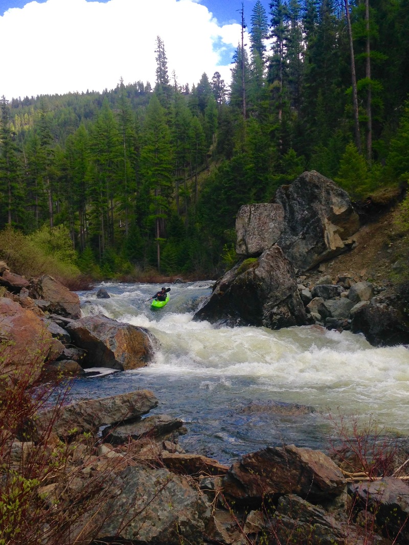
This is a small campground just off Highway 395 along the confluence of Desolation Creek and the North Fork John Day River. Tollbridge features 5 campsties and an accessible toilet. There is also a sign interpreting the geology of the area. There is no potable water or garbage service.
Location
Interactive river map
Loads as you approach this section.
View Full Run
1. Route 52 Bridge to Dale
John Day, N. Fork
II-IV(V)
43.0 mi
Current Conditions
5-Day Forecast
Whitewater data from
American Whitewater
American Whitewater