Rapid
OR
Granite Creek Trailhead
Save this feature with the run it belongs to.
Gauge Conditions
Data from American Whitewater & USGS
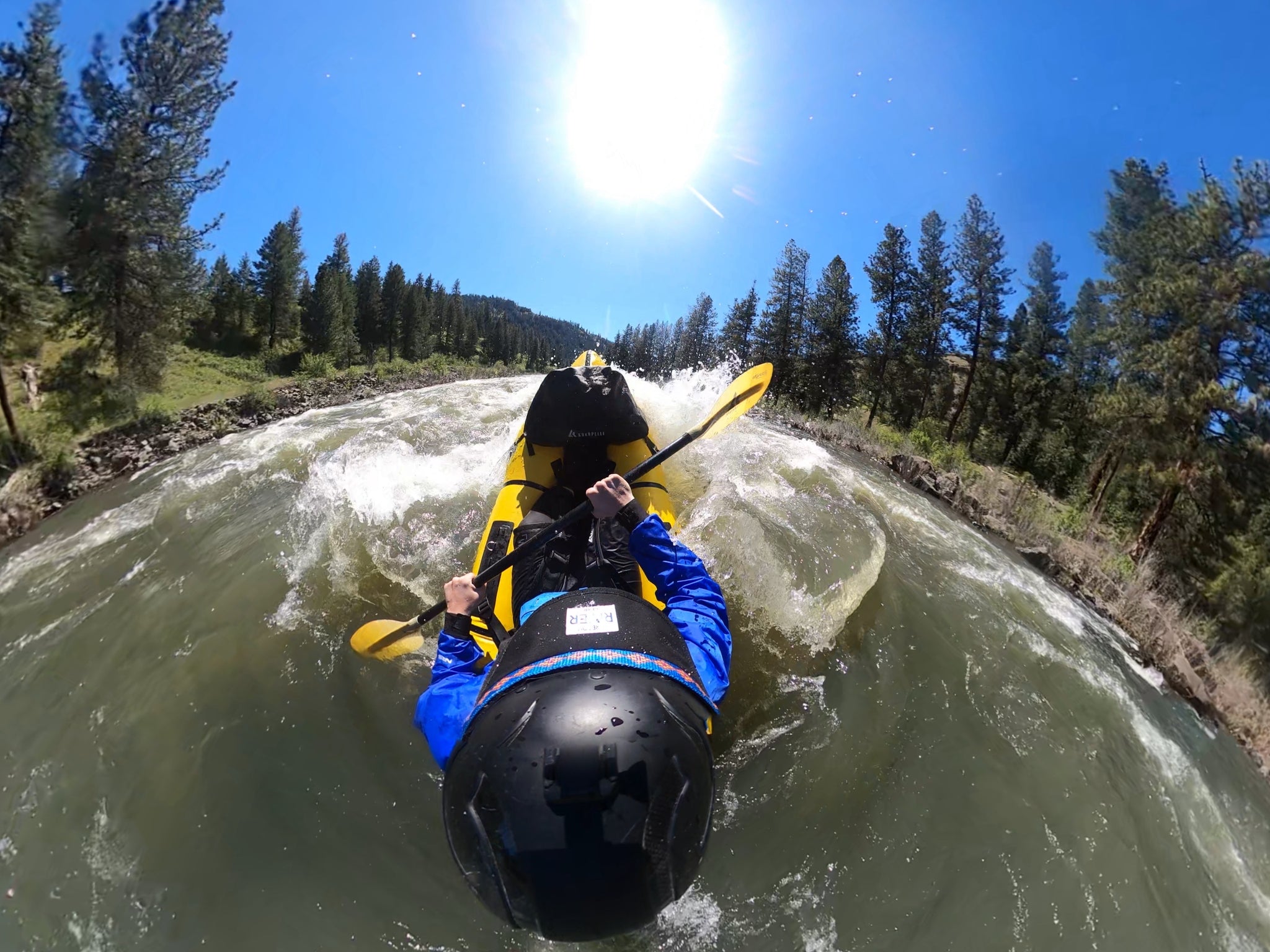
Photo
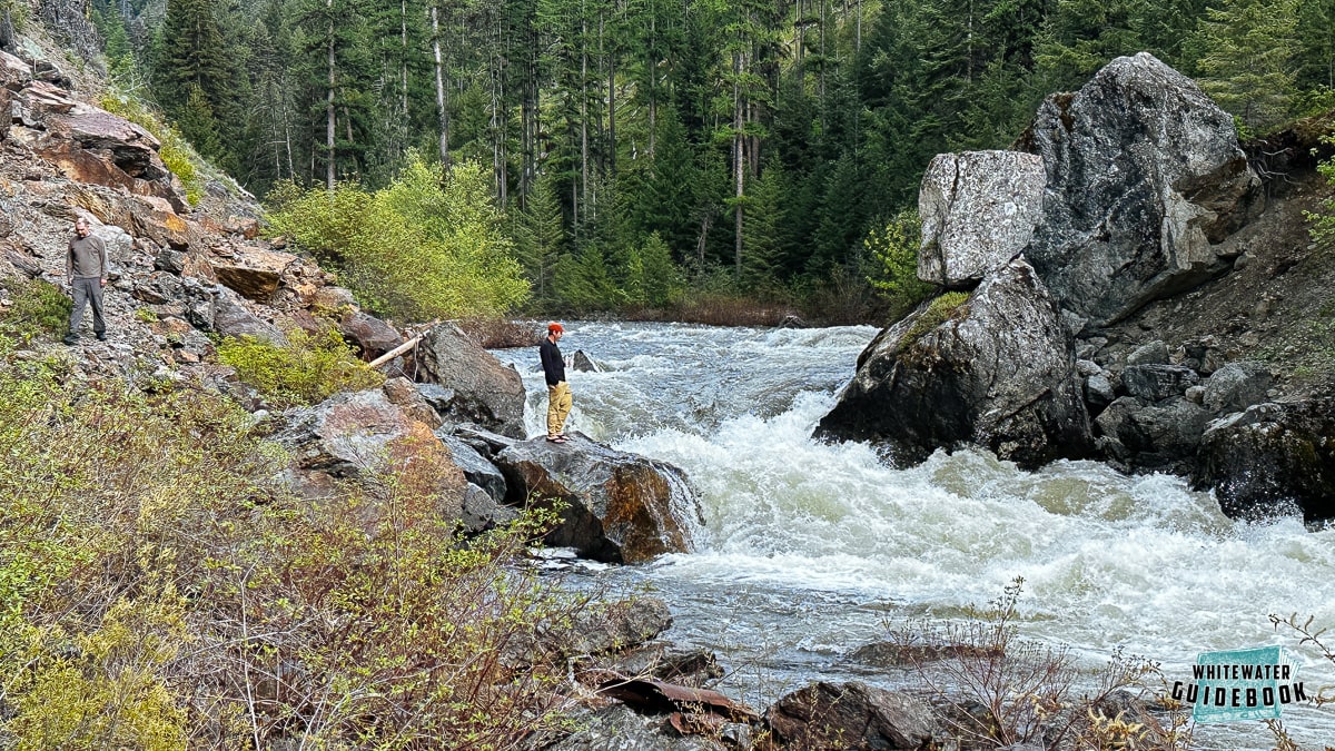
Photo courtesy of American Whitewater
Description
This 3.4 mile trail begins at Granite Creek Trailhead and ends with its junction with the North Fork John Day River Trail #3022. A large section of the Granite Creek Trail is located within the North Fork John Day Wilderness. This trailhead can be used as an access to Granite Creek and an alternate entry point to the North Fork John Day bypassing the upper reaches that tend to have more wood hazards.
Location
Interactive river map
Loads as you approach this section.
View Full Run
1. Route 52 Bridge to Dale
John Day, N. Fork
II-IV(V)
43.0 mi
Current Conditions
5-Day Forecast
Whitewater data from
American Whitewater
American Whitewater