Put-in
OR
Put In, Route 52 Bridge, North Fork John Day Campground
Save this feature with the run it belongs to.
Gauge Conditions
Data from American Whitewater & USGS
Photo
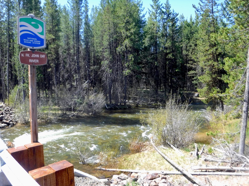
Photo courtesy of American Whitewater
Description
The North Fork John Day Campground is located to the north side of the bridge. It features 20 campsites, 3 accessible toilet facilities, and stock handling facilities. There is no potable water or garbage service. It serves as the eastern access to the North Fork John Day Wilderness. The North Fork John Day Trailhead is also located here; it represents the eastern end of the 22.9 mile North Fork John Day River Trail (#3022) that follows river right through the North Fork John Day Wilderness to Oriental Creek Trailhead.
Location
Interactive river map
Loads as you approach this section.
View Full Run
1. Route 52 Bridge to Dale
John Day, N. Fork
II-IV(V)
43.0 mi
Current Conditions
5-Day Forecast
Whitewater data from
American Whitewater
American Whitewater