Rapid
WI
Hwy.77 / USGS sampling site
Save this feature with the run it belongs to.
Gauge Conditions
Runnable: 150.0 – 600.0 CFS
Likely too low for reasonable whitewater trip. (New gauge! We need your input to establish/refine best flows! Add a comment or report.)
Data from American Whitewater & USGS
Description
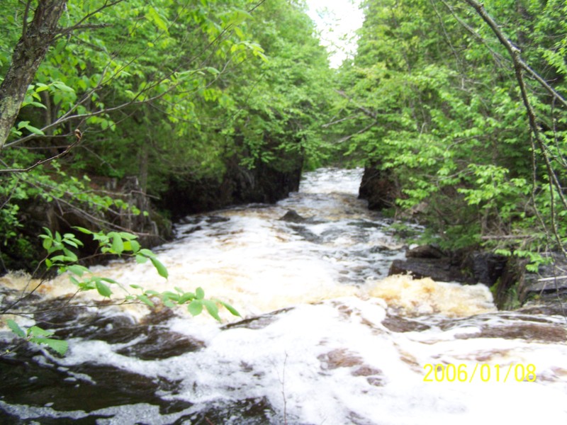
Just prior to Hwy.77 there is a defunct Soo Line railroad (now likely multi-use trail). After passing under this and Hwy.77 you'll pass under powerlines. This is the alternate put-in, for those not running the upper 'dells', or those not paddling the mile of meanders in between.
USGS lists a sampling site this location citing drainage area of 38.2 square miles.
Location
Interactive river map
Loads as you approach this section.
Other Rapids on This Run (19)
 Rapid
III+
Rapid
III+
Dells
Rapid
N/A
Moore Road
Rapid
III
First ledge
Rapid
III
Second ledge/slide
Rapid
N/A
Prelude to Third Movement
Rapid
N/A
Third Movement
Rapid
III
Slide
Rapid
II+
Zig-Zag Chutes
Rapid
N/A
Confluence, Erickson Creek
Rapid
N/A
Confluence, Javorsky Creek
Rapid
II+
Chute
Rapid
II+
Tripping Ledges
Rapid
N/A
Light boulderbed
Rapid
N/A
Rocky Outcropping
 Waterfall
IV
Waterfall
IV
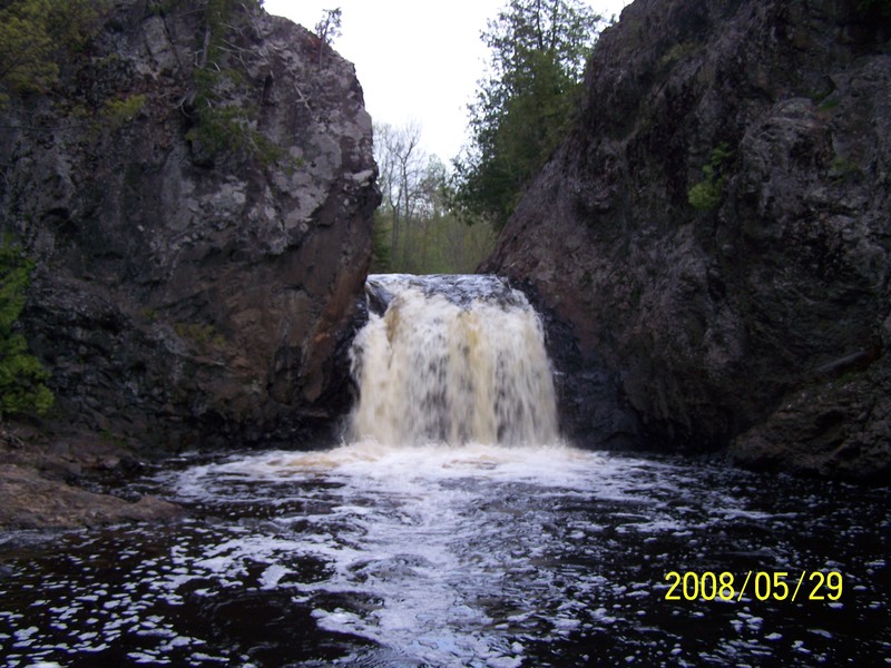
Wren Falls
Rapid
II+
Tailfeathers
Rapid
III
Rocky Chute
Rapid
N/A
Last Hurrah
 Rapid
N/A
Rapid
N/A
Take Out
View Full Run
A) Moore Park to Vogues Rd (up to 8.5 miles)
Tyler Forks
II-III+(IV)
7.8 mi
Current Conditions
5-Day Forecast
Whitewater data from
American Whitewater
American Whitewater