Take-out
WI
Take Out
Save this feature with the run it belongs to.
Gauge Conditions
Runnable: 150.0 – 600.0 CFS
Likely too low for reasonable whitewater trip. (New gauge! We need your input to establish/refine best flows! Add a comment or report.)
Data from American Whitewater & USGS
Photo
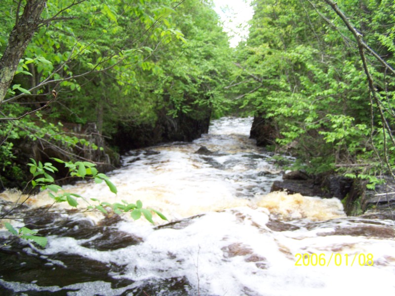
Photo courtesy of American Whitewater
Description
Take Out rapid on the Tyler Forks presents a straightforward run with minimal technical challenges, but paddlers should remain alert for potential debris and shifting water levels. The rapid offers a clean line through the main channel, though local knowledge of water conditions is recommended to navigate any submerged obstacles or seasonal variations.
Location
Interactive river map
Loads as you approach this section.
Other Rapids on This Run (19)
 Rapid
III+
Rapid
III+
Dells
Rapid
N/A
Moore Road
Rapid
N/A
Hwy.77 / USGS sampling site
Rapid
III
First ledge
Rapid
III
Second ledge/slide
Rapid
N/A
Prelude to Third Movement
Rapid
N/A
Third Movement
Rapid
III
Slide
Rapid
II+
Zig-Zag Chutes
Rapid
N/A
Confluence, Erickson Creek
Rapid
N/A
Confluence, Javorsky Creek
Rapid
II+
Chute
Rapid
II+
Tripping Ledges
Rapid
N/A
Light boulderbed
Rapid
N/A
Rocky Outcropping
 Waterfall
IV
Waterfall
IV
Wren Falls
Rapid
II+
Tailfeathers
Rapid
III
Rocky Chute
Rapid
N/A
Last Hurrah
View Full Run
A) Moore Park to Vogues Rd (up to 8.5 miles)
Tyler Forks
II-III+(IV)
7.8 mi
Current Conditions
5-Day Forecast
Whitewater data from
American Whitewater
American Whitewater