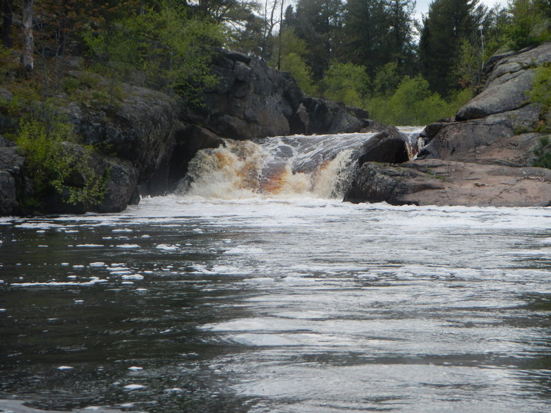
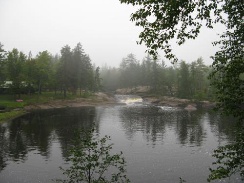
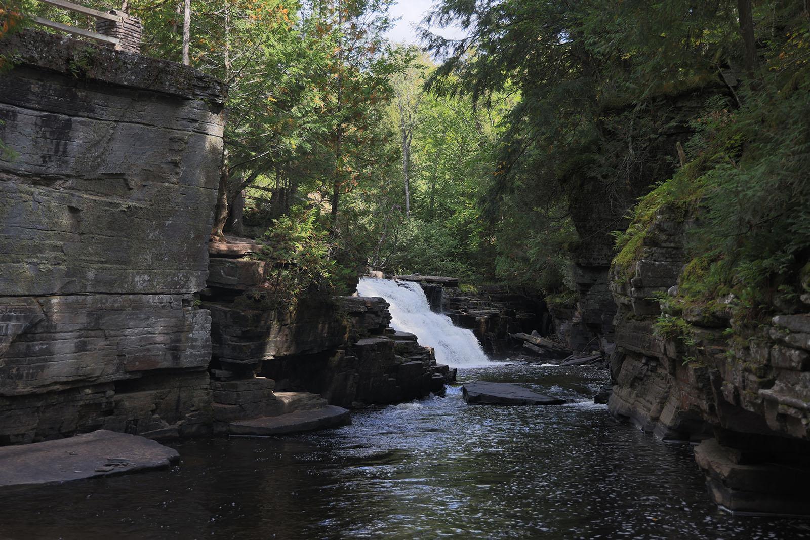
Jumblewood Sluice
Save this feature with the run it belongs to.
Gauge Conditions
Approximate - nearest available gauge. Use as general reference only.
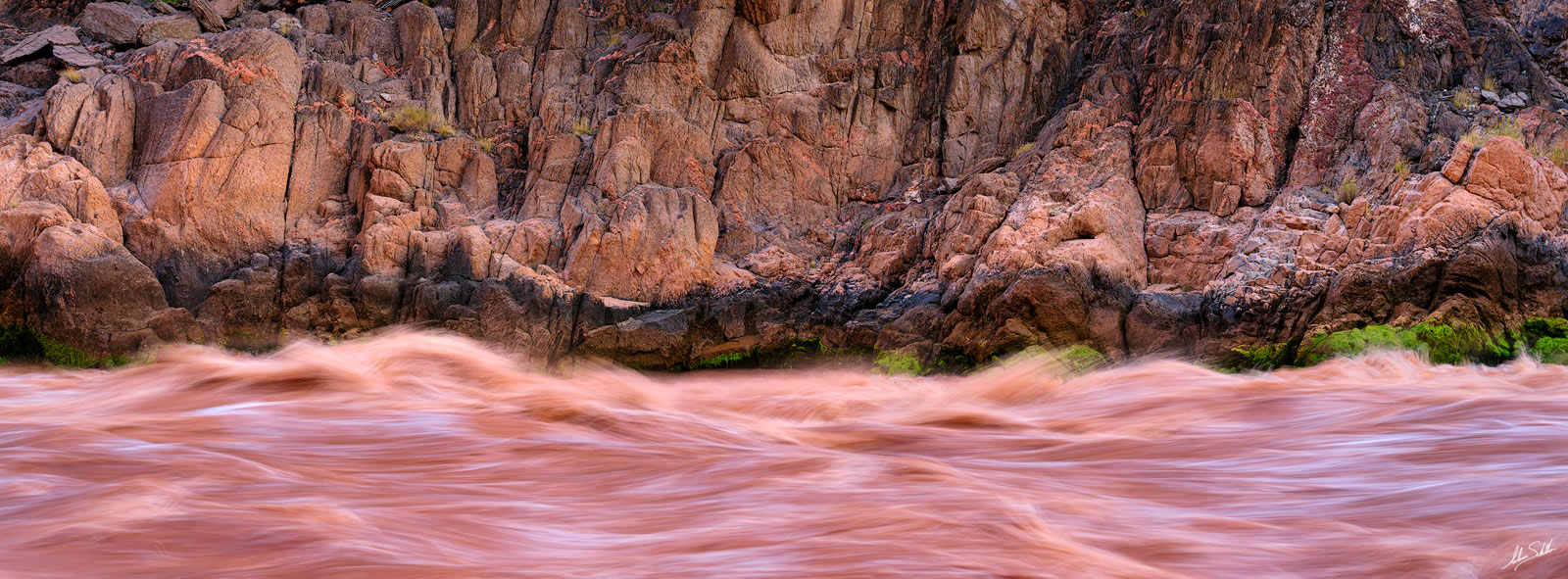
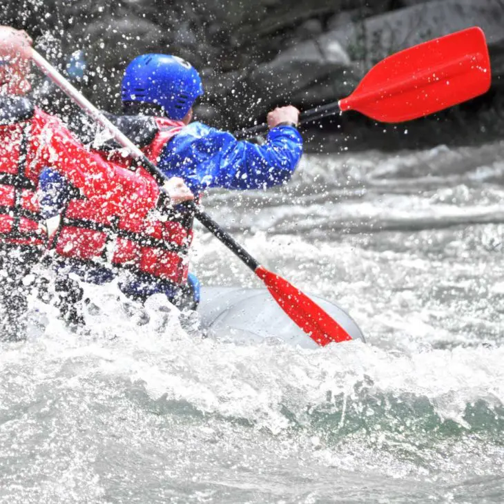
Photo
Description
A few different routes are available/viable here, so some may opt to carry up to try more than one. To extreme river-left, a small pourover drops into a 'sluice' between shore and a line of rock parallel to it. To extreme right, a wider channel (or sluice) leads to an often grungy exit. Partway down this route, one can veer left to head to center stream. Down the middle there is generally considerable less flow (obviously at low-to-moderate flows for the river). Overall, generally not too difficult, but you can find/make some more technical or interesting lines. The runout often has a small surfable wave. Scouting is advised (particularly for river-right lines) as this area has been known to accumulate jumble piles of wood (hence the rapids name).
Following this you'll encounter the second longest flatwater stretch, with ~1.8 miles to the next significant feature.
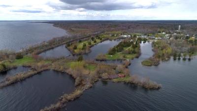
Location
Other Rapids on This Run (10)
Current Conditions
5-Day Forecast
American Whitewater