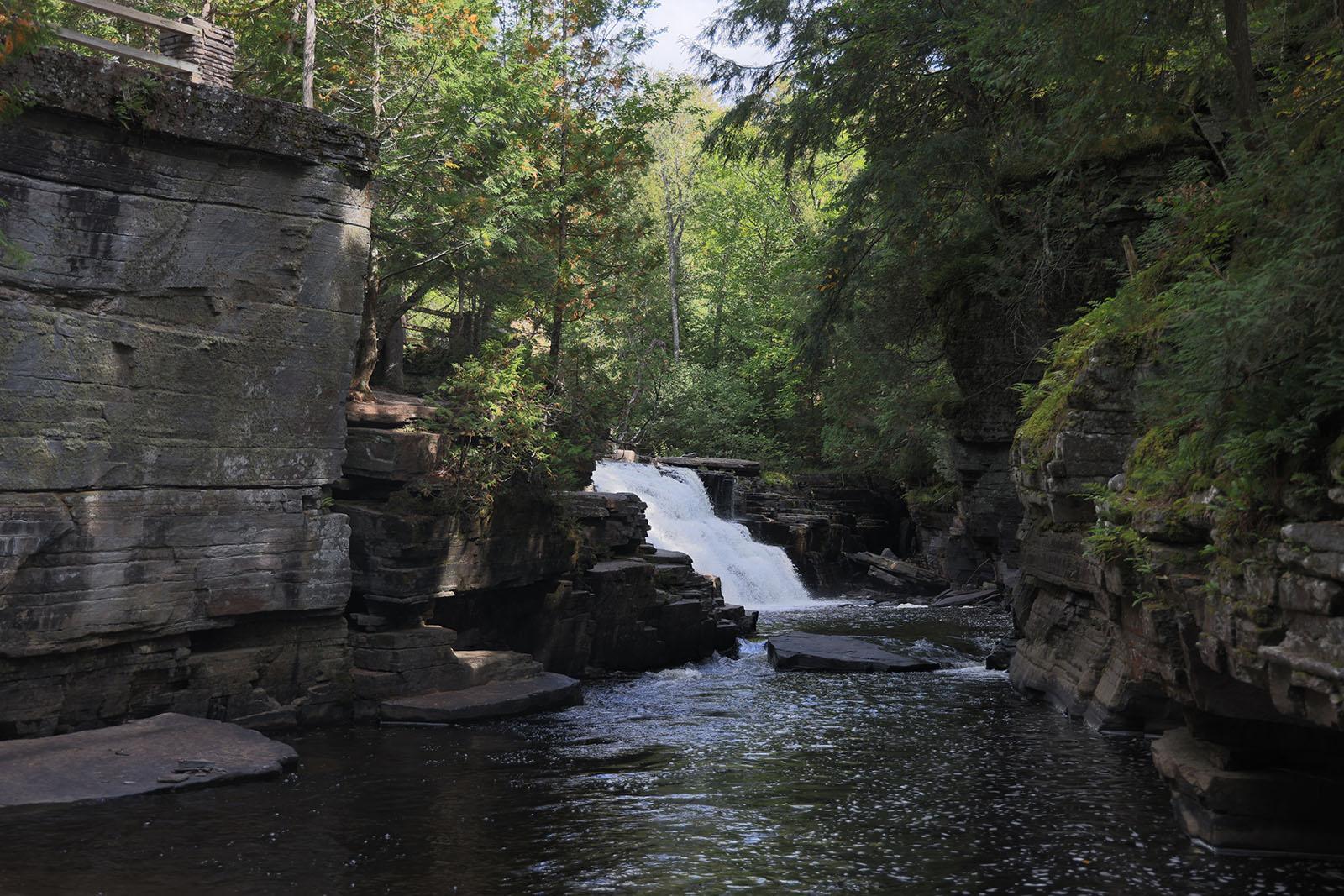
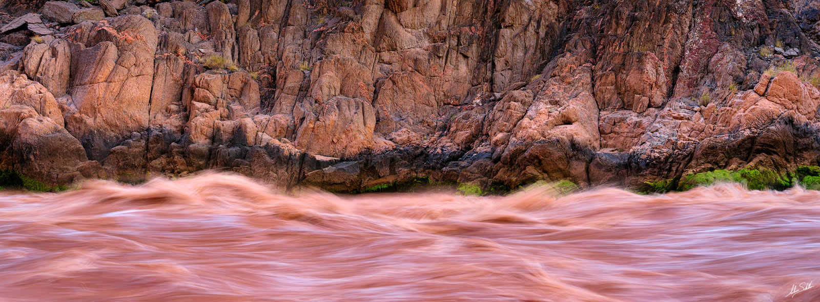
Middle FInger
Save this feature with the run it belongs to.
Gauge Conditions
Approximate - nearest available gauge. Use as general reference only.
Photo
Description
Just beyond a good jig-jog right and then left, the final rapids/falls of the 'upper' reach is encountered. A short pourover/wave/hole traverses center-to-right, causing boiling swirly water preceding the main action here. A huge rock lies just left-of-center below. Water flowing between the sloping bedrock of the left shore and this 'middle finger' tends to funnel into a really aerated boil below. Best outflow is tight to the left wall, since a ledge of shallow rock lies immediately behind the 'middle finger'. To the right of the 'middle finger', flow drops across a couple smaller ledges/rocks (possible hole or two) before meeting the pool below. Often the sweet/semi-gutsy line (to avoid the potentially tricky boiling pourover at the top of this drop) is to start at river-left shore above the drop, drive powerfully toward the right, on smooth flow (which heads toward the 'middle finger' and drops down the left line), keeping your boat upstream of the rock, to drive into the right channel as previously described.
From this feature, it is just over a mile to our listed take-out, or (if continuing with the lower section) about 1.4 miles to the next interesting feature.
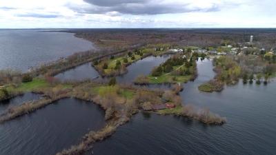
Location
Other Rapids on This Run (10)
Current Conditions
5-Day Forecast
American Whitewater